1670 · London
by OGILBY, JOHN
London: Tho. Johnson for the author, 1670. FIRST EDITION. 420 x 275 mm. (16 1/2 x 11 mm). [8] p.l., 767, [1] pp., plus a total of [9] leaves of place names printed on one side only, bound out of order.
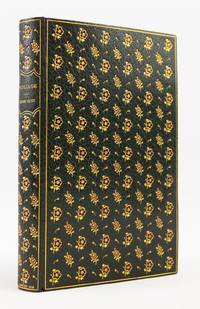
Contemporary calf rebacked (in the 19th century?) with the original spine laid on, raised bands, red morocco label with gilt lettering in second compartment, others with large floral tool surrounded by a lacy border. With old repairs to upper cover and edges. WITH A TOTAL OF 52 ENGRAVED PLATES, 43 of which are double-page or folding, plus 46 engraved vignettes. (Lacking "The Caravan" called for in the list of plates, but with the addition of a frontispiece and five plates not called for in that list.) Front pastedown with armorial bookplates of James Watson, and an additional bookplate with an armorial crest and the name "Bartle" written in ink. ESTC R22824; Wing O-163; Cox I, p. 361; Tooley, Maps & Map-Mapmakers, pp. 98-101; Moreland & Bannister, p. 157. ◆Front joint cracked alongside three compartments, hinges exposed, considerable wear to covers and extremities, much of spine gilt rubbed away--hardly a beautiful binding, but still functional and secure, with boards still firmly attached. Large map with minor tears along a couple of folds, several plates with mostly insignificant tears at edges (though a couple touching the images), scattered faint browning and light foxing, other trivial imperfections, but still a very good copy internally, largely fresh and clean and with no fatal condition issues.
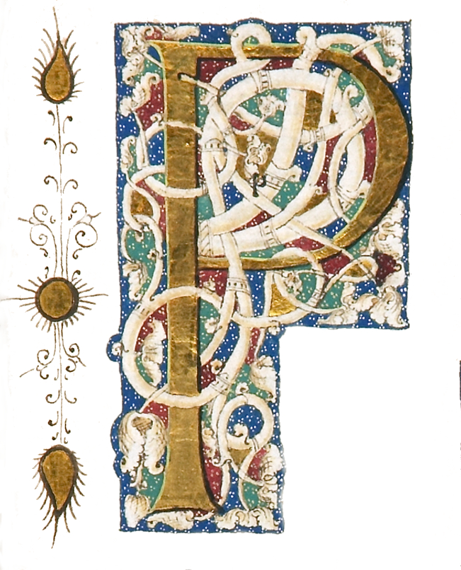
This voluminous work contains the most comprehensive description of Africa printed to date, and is illustrated with a detailed series of maps, and images of the flora, fauna, and peoples inhabiting its varied regions. In addition to its large folding map of the continent, the work contains numerous regional maps and views of cities such as Cairo, Alexandria, Tangier, and Valetta (in Malta), as well as the Islands of St. Helena, Madagascar, and the Canaries. Other plates include depictions of the pyramids and a sarcophagus, the costumes and customs of Africa's varied peoples and cultures, and images of exotic plants and animals. The text here was based not on the author's personal experience, but was carefully compiled over several years from previously published accounts by other authors--particularly geographer Olfert Dapper's work on Africa (first published in Dutch in 1668, and in English in 1670). DNB tells us that this method of compilation was "a common practice at that time," and notes that "[Ogilby] and others' work in this sense thus both reflected and directed growing public interest in distant places and foreign peoples." John Ogilby (1600-76) was, in the words of Bannister & Moreland, "one of the more colourful figures associated with cartography," having "started life as a dancing master and finished as the King's Cosmographer and Geographic Printer." In the intervening years he worked as master of revels in Dublin and opened the first theatre in Ireland, learned Latin and became a celebrated translator, and was nearly driven to ruin twice—first due to a shipwreck, and later in the Great Fire of 1666. In addition to his large atlases, Ogilby is best remembered for his "Britannia," a groundbreaking atlas of roads in England and Wales that DNB calls "the first major advance in cartography in England since the Tudor period." The present work, though not in perfect condition, is still a grand production, very presentable, and meant to be attractively priced.. (Inventory #: ST18851-16)
Contemporary calf rebacked (in the 19th century?) with the original spine laid on, raised bands, red morocco label with gilt lettering in second compartment, others with large floral tool surrounded by a lacy border. With old repairs to upper cover and edges. WITH A TOTAL OF 52 ENGRAVED PLATES, 43 of which are double-page or folding, plus 46 engraved vignettes. (Lacking "The Caravan" called for in the list of plates, but with the addition of a frontispiece and five plates not called for in that list.) Front pastedown with armorial bookplates of James Watson, and an additional bookplate with an armorial crest and the name "Bartle" written in ink. ESTC R22824; Wing O-163; Cox I, p. 361; Tooley, Maps & Map-Mapmakers, pp. 98-101; Moreland & Bannister, p. 157. ◆Front joint cracked alongside three compartments, hinges exposed, considerable wear to covers and extremities, much of spine gilt rubbed away--hardly a beautiful binding, but still functional and secure, with boards still firmly attached. Large map with minor tears along a couple of folds, several plates with mostly insignificant tears at edges (though a couple touching the images), scattered faint browning and light foxing, other trivial imperfections, but still a very good copy internally, largely fresh and clean and with no fatal condition issues.
This voluminous work contains the most comprehensive description of Africa printed to date, and is illustrated with a detailed series of maps, and images of the flora, fauna, and peoples inhabiting its varied regions. In addition to its large folding map of the continent, the work contains numerous regional maps and views of cities such as Cairo, Alexandria, Tangier, and Valetta (in Malta), as well as the Islands of St. Helena, Madagascar, and the Canaries. Other plates include depictions of the pyramids and a sarcophagus, the costumes and customs of Africa's varied peoples and cultures, and images of exotic plants and animals. The text here was based not on the author's personal experience, but was carefully compiled over several years from previously published accounts by other authors--particularly geographer Olfert Dapper's work on Africa (first published in Dutch in 1668, and in English in 1670). DNB tells us that this method of compilation was "a common practice at that time," and notes that "[Ogilby] and others' work in this sense thus both reflected and directed growing public interest in distant places and foreign peoples." John Ogilby (1600-76) was, in the words of Bannister & Moreland, "one of the more colourful figures associated with cartography," having "started life as a dancing master and finished as the King's Cosmographer and Geographic Printer." In the intervening years he worked as master of revels in Dublin and opened the first theatre in Ireland, learned Latin and became a celebrated translator, and was nearly driven to ruin twice—first due to a shipwreck, and later in the Great Fire of 1666. In addition to his large atlases, Ogilby is best remembered for his "Britannia," a groundbreaking atlas of roads in England and Wales that DNB calls "the first major advance in cartography in England since the Tudor period." The present work, though not in perfect condition, is still a grand production, very presentable, and meant to be attractively priced.. (Inventory #: ST18851-16)