Map of New York and Vicinity
- New York: Beers, Ellis & Soule, 1867
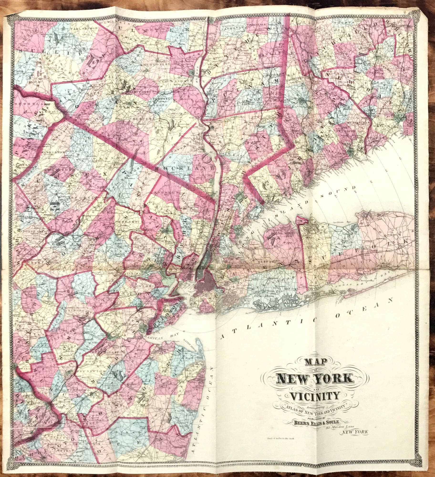
New York: Beers, Ellis & Soule, 1867. Hand-colored engraved map by Worley & Bracher, printed by James McGuigan, 30 3/4 x 28 1/2 inches. Mounted on linen. Two small separations along joints, generally a fine and attractive example. A fine map showing New York City at center, extending east to Queens and Suffolk Counties, and west through New Jersey to eastern Pennsylvania (including Bucks County). The northernmost counties shown are sections of Sullivan, Ulster and Dutchess in New York, and the southwestern counties of Connecticut. See McCorkle, Barbara B., 1990, "The Strange Case of E.W. Beers and the Atlas of New York and Vicinity," Meridian (5):39-43.
Details
Title
Map of New York and Vicinity
Author
BEERS, Frederick W.
Condition
Unknown
Publisher
Beers, Ellis & Soule: New York
Date
1867