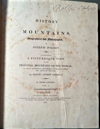
A History of Mountains, Geographical and Mineralogical ...., 3 vols.
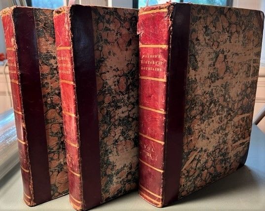

- Contemporary three-quarter leather & marbled boards.
- London: Nicol ... White ... Faulders ... and Asperne, 1807-1810
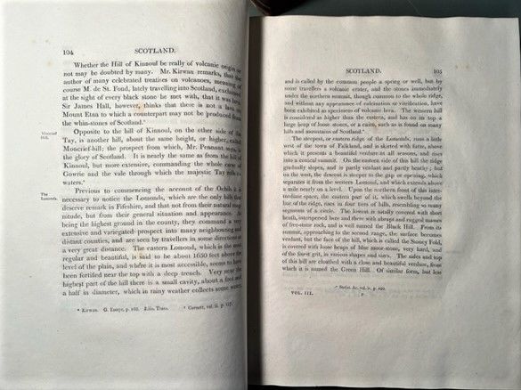
London: Nicol ... White ... Faulders ... and Asperne, 1807-1810. First Edition.. Contemporary three-quarter leather & marbled boards.. Good; spotty foxing to the preliminary leaves of volumes 1 & 3 and parts of volume 3; moderate wear to the head of the spines.. Royal 4to; I - lvi, 368, 176 pp.; II - [4], 735 pp. + plate; III - [4], 906, [38 - index] + plate.
An extraordinary survey of the world's mountain ranges across all continents. Wilson produced a geographical handbook and scientific guide to the geological composition of the ranges. The survey is in three broad divisions (including larger islands); volume three contains Asia and the Americas. Wilson relied on both domestic and foreign travel accounts. He is cautious in his narration and punctilious about his sources of information. In January of 1806, a year before Wilson's book began appearing, Robert A Riddell had published (the printer was J Merigot of Paris) a large view entitled: A Composite Design, in Aquatint, Showing Comparative Heights of Mountains [with a scale to measure the heights of mountains depicted]. This separately published work (see OCLC #558064206) is rare and was cited by Wilson as an "accompaniment" to the book offered here. He goes on to enter a note in the preface to volume 1 about the recent invention of machine made paper by two Frenchmen, Henri and Sealy Fourdrinier, that made Riddell's print possible (the Riddell print is very large measuring 1295 x 908 mm). The two plates that illustrate Wilson's book are mountain sections. The second illustration being a "section of the globe" illustrating the make-up of the South American mountain ranges. There is a comment in Lowndes stating that most of the print run was destroyed by fire, making for the relative scarcity of sets in trade. Absent from Schuh, Sinkankis, Neate etc.
An extraordinary survey of the world's mountain ranges across all continents. Wilson produced a geographical handbook and scientific guide to the geological composition of the ranges. The survey is in three broad divisions (including larger islands); volume three contains Asia and the Americas. Wilson relied on both domestic and foreign travel accounts. He is cautious in his narration and punctilious about his sources of information. In January of 1806, a year before Wilson's book began appearing, Robert A Riddell had published (the printer was J Merigot of Paris) a large view entitled: A Composite Design, in Aquatint, Showing Comparative Heights of Mountains [with a scale to measure the heights of mountains depicted]. This separately published work (see OCLC #558064206) is rare and was cited by Wilson as an "accompaniment" to the book offered here. He goes on to enter a note in the preface to volume 1 about the recent invention of machine made paper by two Frenchmen, Henri and Sealy Fourdrinier, that made Riddell's print possible (the Riddell print is very large measuring 1295 x 908 mm). The two plates that illustrate Wilson's book are mountain sections. The second illustration being a "section of the globe" illustrating the make-up of the South American mountain ranges. There is a comment in Lowndes stating that most of the print run was destroyed by fire, making for the relative scarcity of sets in trade. Absent from Schuh, Sinkankis, Neate etc.
Details
Title
A History of Mountains, Geographical and Mineralogical ...., 3 vols.
Author
Wilson, Joseph - MOUNTAINS
Binding
Contemporary three-quarter leather & marbled boards.
Condition
Good
Publisher
Nicol ... White ... Faulders ... and Asperne: London
Date
1807-1810
Edition
First Edition.