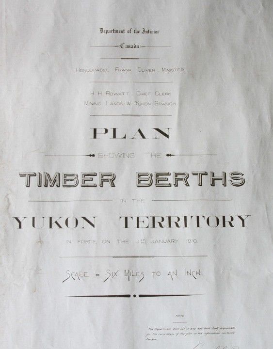
, Plan Showing the Timber Berths in the Yukon Territory in Force on the 1st January 1910. Scale = Six Miles to an Inch. Samuel H. Genes, Chief Draughtsman, Mining Lands & Yukon Branch.
- 1910
[N.p. 1910] Large manuscript map, measuring 40 x 103 ¾ inches, pen and ink, with pencil additions on drafting linen, some minor soiling to edges, else in very good, clean condition.
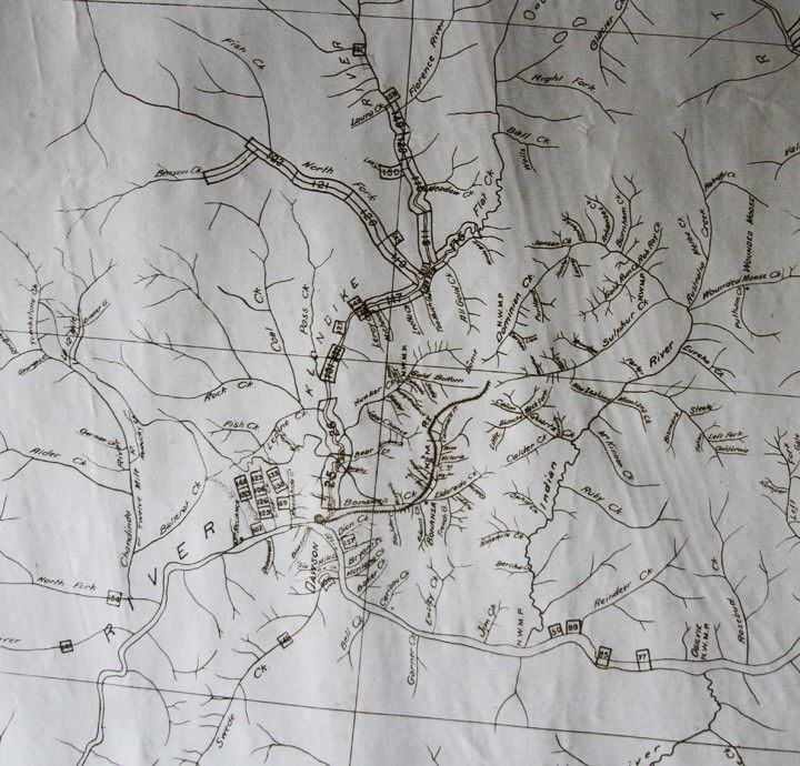
Large scale manuscript map which delineates the territory from Skagway, portions of British Columbia, the Yukon and Klondike Country as far north as the Porcupine River. The map shows the rivers, creeks, settlements, rail roads, N.W.M.P. barracks, timber berths and reserves.
Details
Title
, Plan Showing the Timber Berths in the Yukon Territory in Force on the 1st January 1910. Scale = Six Miles to an Inch. Samuel H. Genes, Chief Draughtsman, Mining Lands & Yukon Branch.
Author
Department of the Interior Canada. Honorable Frank Oliver, Minister. H.H. Rowatt, Chief Clerk, Mining Lands & Yukon Branch
Condition
Unknown
Date
1910
Size
40 x 103 ¾ inches