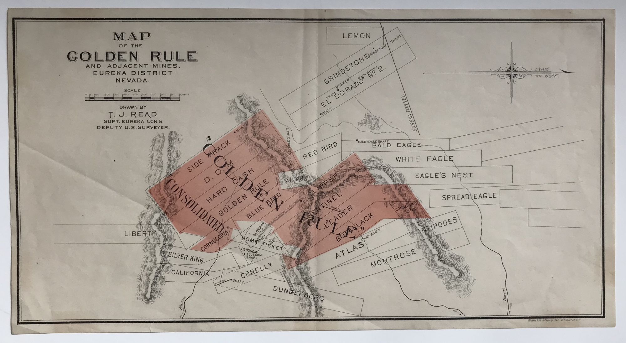
Map of the Golden Rule and Adjacent Mines, Eureka District Nevada. Drawn by T.J. Read Supt. Eureka Con. & Deputy U.S. Surveyor [caption title]
- New York: Empire Lithography, 1890
New York: Empire Lithography, 1890. Very good.. Small sheet map, 8 x 15 inches. Printed in black and pink. Folded once vertically. Light tanning. Scarce map of the Golden Rule mining company, established via an amalgamation of mining claims in the Eureka District of Nevada in the mid-1880s. The map shows their consolidated claims shaded in pink, with the other claims in the area also delineated, and the topography of the region depicted by hachures. OCLC locates four copies, at Berkeley, Stanford, the Huntington, and Denver Public Library.
Details
Title
Map of the Golden Rule and Adjacent Mines, Eureka District Nevada. Drawn by T.J. Read Supt. Eureka Con. & Deputy U.S. Surveyor [caption title]
Author
[Nevada]. [Mining]
Condition
Very Good
Publisher
Empire Lithography: New York
Date
1890