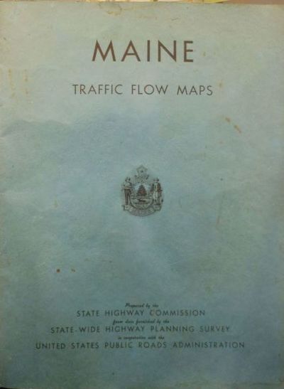
Maine Traffic Flow Maps Prepared by the State Highway Commission from Data Furnished by the State-wide Highway Planning Survey in Cooperation with the United States Public Roads Administration
- Stiff wraps
- None listed: [State of Maine Highway Commission], 1941
None listed: [State of Maine Highway Commission], 1941. First Edition. Stiff wraps. Very good. Elephant folio; 56pp; 55 full page maps in black and blue ink; blue textured wrappers with title on front cover and state seal, 5 staple binding; soiling to wrapper, some light page edge soiling, soiling to pp 21-22, binding sound without pulling. Very Good. The first of traffic flow maps issued by the state, the next not issued until 1955. The maps are of each county with details that include road types, bridges, water features, boundaries, natural features, railroads, airways, parks and reservations, and city and village centers. Traffic patterns indicated in blue ink. Fascinatingìì detailed look at each Maine county.
Details
Title
Maine Traffic Flow Maps Prepared by the State Highway Commission from Data Furnished by the State-wide Highway Planning Survey in Cooperation with the United States Public Roads Administration
Author
State Highway Commission [Maine]
Binding
Stiff wraps
Condition
Very Good
Publisher
[State of Maine Highway Commission]: None listed
Date
1941
Edition
First Edition