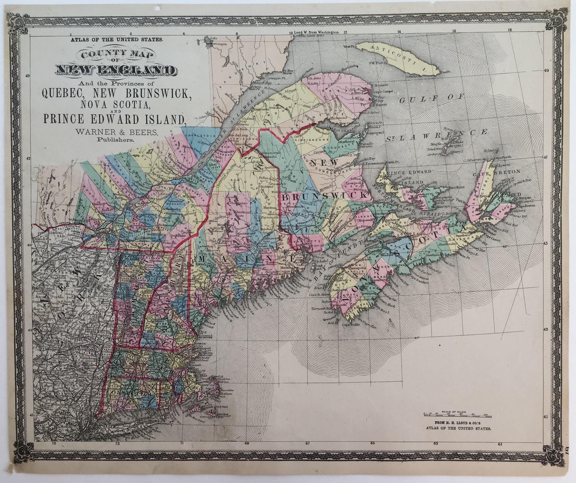
County Map of New England and the Provinces of Quebec, New Brunswick, Nova Scotia and Prince Edward Island, Atlas of the United States; Atlas of the United States
- No place listed [Chicago]: Warner and Beers, 1875
No place listed [Chicago]: Warner and Beers, 1875. Near fine. From H.H. Lloyd and Co.'s, 14 1/8" x 17 1/8" within the neat line, left and right margins trimmed; hand-colored; railroad tracks marked but not identified; near fine.
Details
Title
County Map of New England and the Provinces of Quebec, New Brunswick, Nova Scotia and Prince Edward Island, Atlas of the United States; Atlas of the United States
Author
[LLOYD, H.H.]
Condition
Near Fine
Publisher
Warner and Beers: No place listed [Chicago]
Date
1875