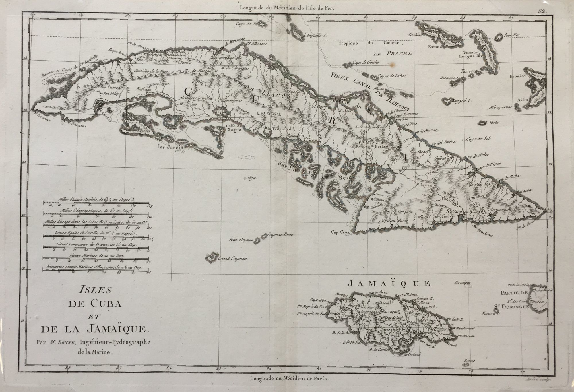
Isles de Cuba et de la Jamaïque.; from Atlas Encyclopédique
- Paris , 1788
Paris, 1788. Near fine. English translation: Islands of Cuba and Jamaica
10 ¾ x 15 5/8 inches; 9 1/4 x 13 5/8 inches within the neat line; plate mark visible; topographical detail; one light spot; near fine. Charles Marie Rigobert Bonne (1727-1795) a French cartographer and hydrographer, in 1773 he became the Royal Hydrogrpaher at the Depot de la Marine, a French royal appointment. This is a detailed topographical map of the island of Cuba and Jamaique to the south. The northeast corner of the map shows some of the Bahama islands.
10 ¾ x 15 5/8 inches; 9 1/4 x 13 5/8 inches within the neat line; plate mark visible; topographical detail; one light spot; near fine. Charles Marie Rigobert Bonne (1727-1795) a French cartographer and hydrographer, in 1773 he became the Royal Hydrogrpaher at the Depot de la Marine, a French royal appointment. This is a detailed topographical map of the island of Cuba and Jamaique to the south. The northeast corner of the map shows some of the Bahama islands.
Details
Title
Isles de Cuba et de la Jamaïque.; from Atlas Encyclopédique
Author
BONNE, Rigobert
Condition
Near Fine
Publisher
Paris
Date
1788