Indexed Pocket Map and Shipper's Guide of Utah
- Chicago: Rand McNally & Company, 1915
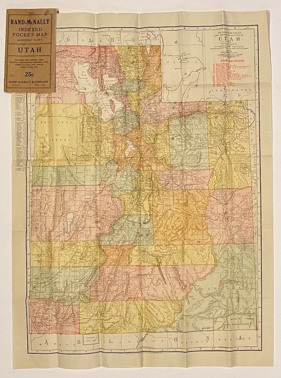
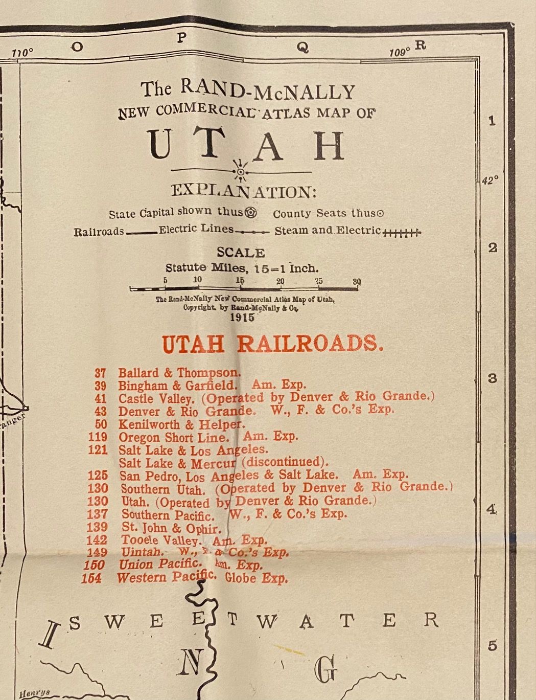
Chicago: Rand McNally & Company, 1915. 20pp. Sextodecimo [17 cm] Brown printed wrappers. Minor wear to covers. Attached to rear inside panel: Color map [65 cm x 47 cm] on a single sheet [71 cm x 53 cm] that folds into brown printed covers [17 cm x 10 cm]. Map has folds as issued. Map is bright and in nice condition. City and town index in the left margin. Nice early twentieth century Utah state map that identifies and locates county lines, state lines, and a list of railroads overprinted in red. 20 page booklet lists and locates Utah: Counties, canyons, creeks, islands, lakes, mountains, rivers, and towns.
"Salt Lake City is the metropolis of the richest and fastest growing region in the United States. A region rich in mines and farms whose increasing wealth is making a great city. Wonderful opportunities for the investor and the business man in all lines of commercial activity. Invest your money and work and live in a beautiful city where the climate is superb.
"Salt Lake City is the metropolis of the richest and fastest growing region in the United States. A region rich in mines and farms whose increasing wealth is making a great city. Wonderful opportunities for the investor and the business man in all lines of commercial activity. Invest your money and work and live in a beautiful city where the climate is superb.
Details
Title
Indexed Pocket Map and Shipper's Guide of Utah
Author
[Utah]
Condition
Unknown
Publisher
Rand McNally & Company: Chicago
Date
1915