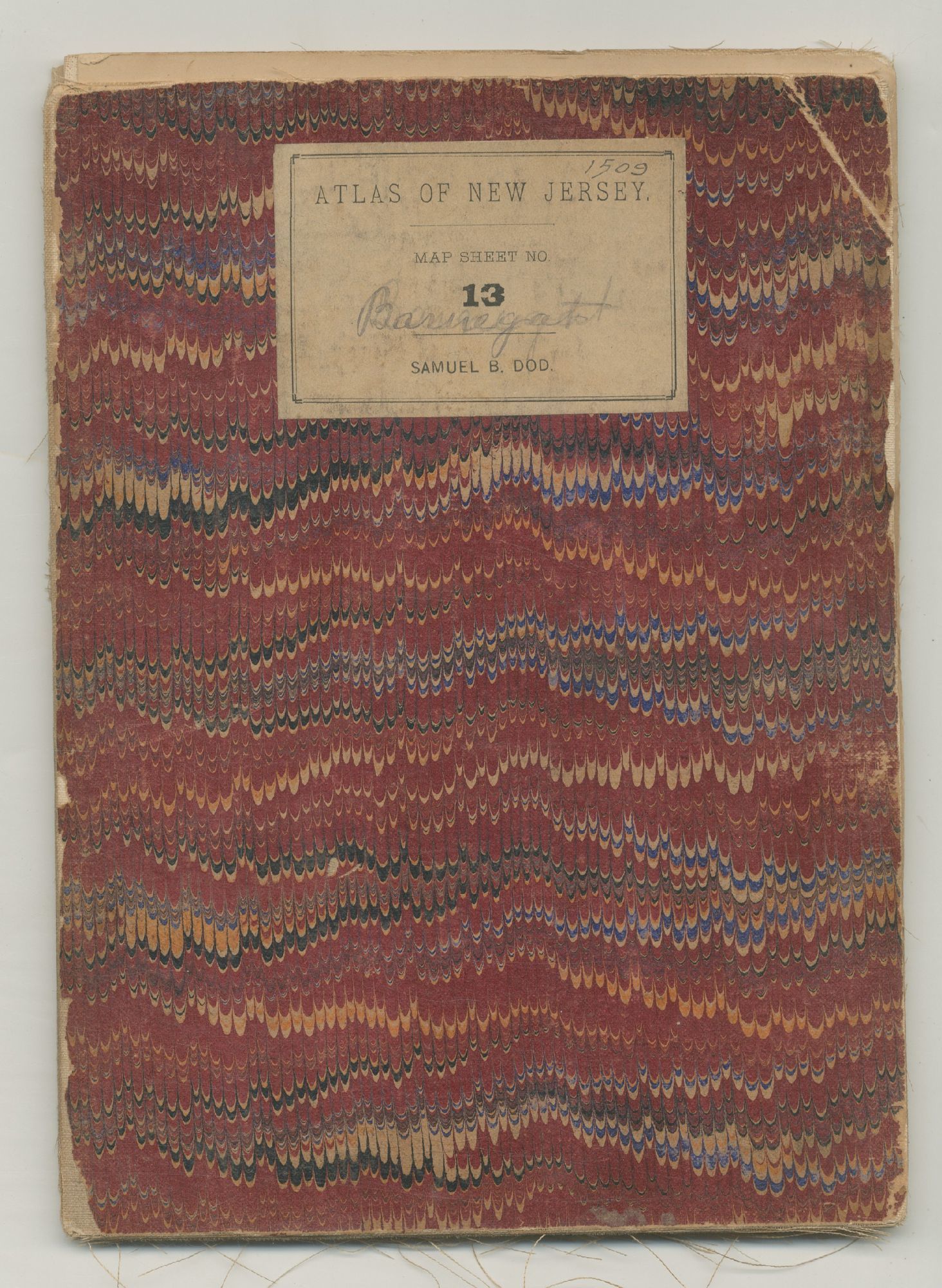
Atlas of the New Jersey: Map Sheet 13. A Topographical Map of the Vicinity of Barnegat Bay with the Greater Part of Ocean County
- Unbound
- Geological Survey of New Jersey, 1887
Geological Survey of New Jersey, 1887. Unbound. Very Good. Linen backed map cut into sections that folds into a marbled card stock portfolio with matching printed title labels on each side. Measures 6½" x 9" when folded and 27" x 37" when opened. Very good with wear to the cards labels, some separation at the folds and some discoloration to the map. One of a series of geological maps of New Jersey done by George H. Cook in the latter 19th Century as part of an official survey of New Jersey. This copy with the printed name of Samuel B. Dod's copy. Dod was New Jersey minister, trustee of both Princeton University and the Steven Institute of Hoboken, which he founded, as we as the founder of the town of Seabright, organizer of the Hudson Trust Company and president of the first national bank of Hoboken.
Details
Title
Atlas of the New Jersey: Map Sheet 13. A Topographical Map of the Vicinity of Barnegat Bay with the Greater Part of Ocean County
Binding
Unbound
Condition
Very Good
Publisher
Geological Survey of New Jersey
Date
1887