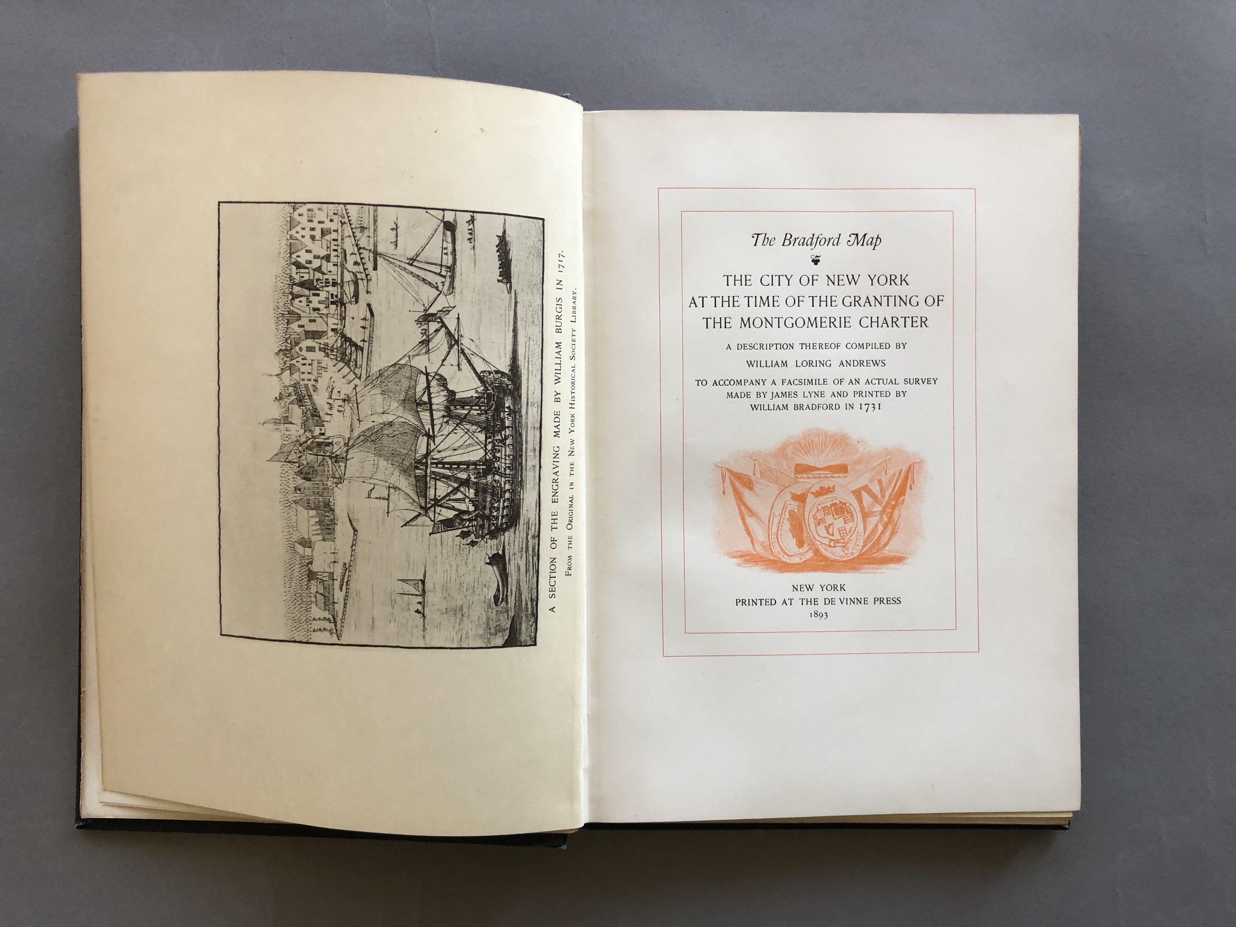
The Bradford Map. The City Of New York At The Time Of The Granting Of The Montgomerie Charter
- New York: De Vinne Press, 1893
115 pages plus 11 leaves of plates, 8 ½ x 6 inches, cloth with gold stamping.
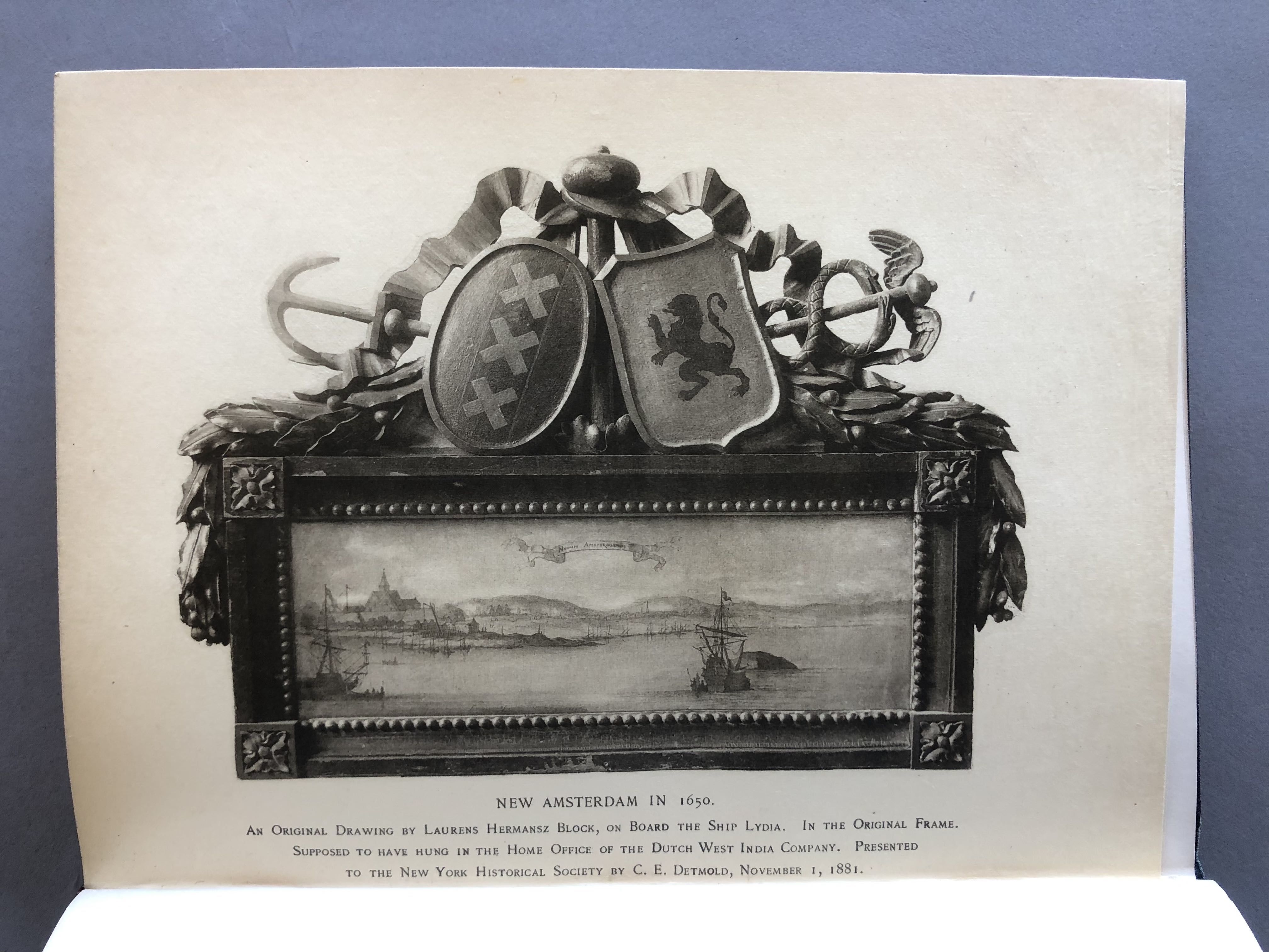
"The primary purpose of the author in issuing this monograph is to place in circulation a limited number of reproductions of a few very rare prints relating to the early history of New York-a field in which the author began collecting thirty years ago, and to which after many diversions he has returned again and again with renewed interest."
This volume also includes a double page facsimile of the map/survey made by James Lyne and printed by William Bradford in 1731 which, in 1893, was in the collection of the author.
Details
Title
The Bradford Map. The City Of New York At The Time Of The Granting Of The Montgomerie Charter
Author
William Loring Andrews
Condition
Unknown
Publisher
De Vinne Press: New York
Date
1893