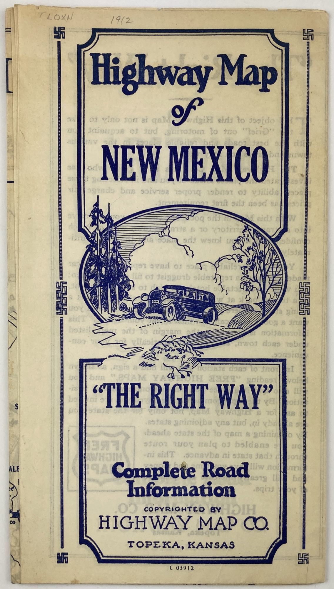
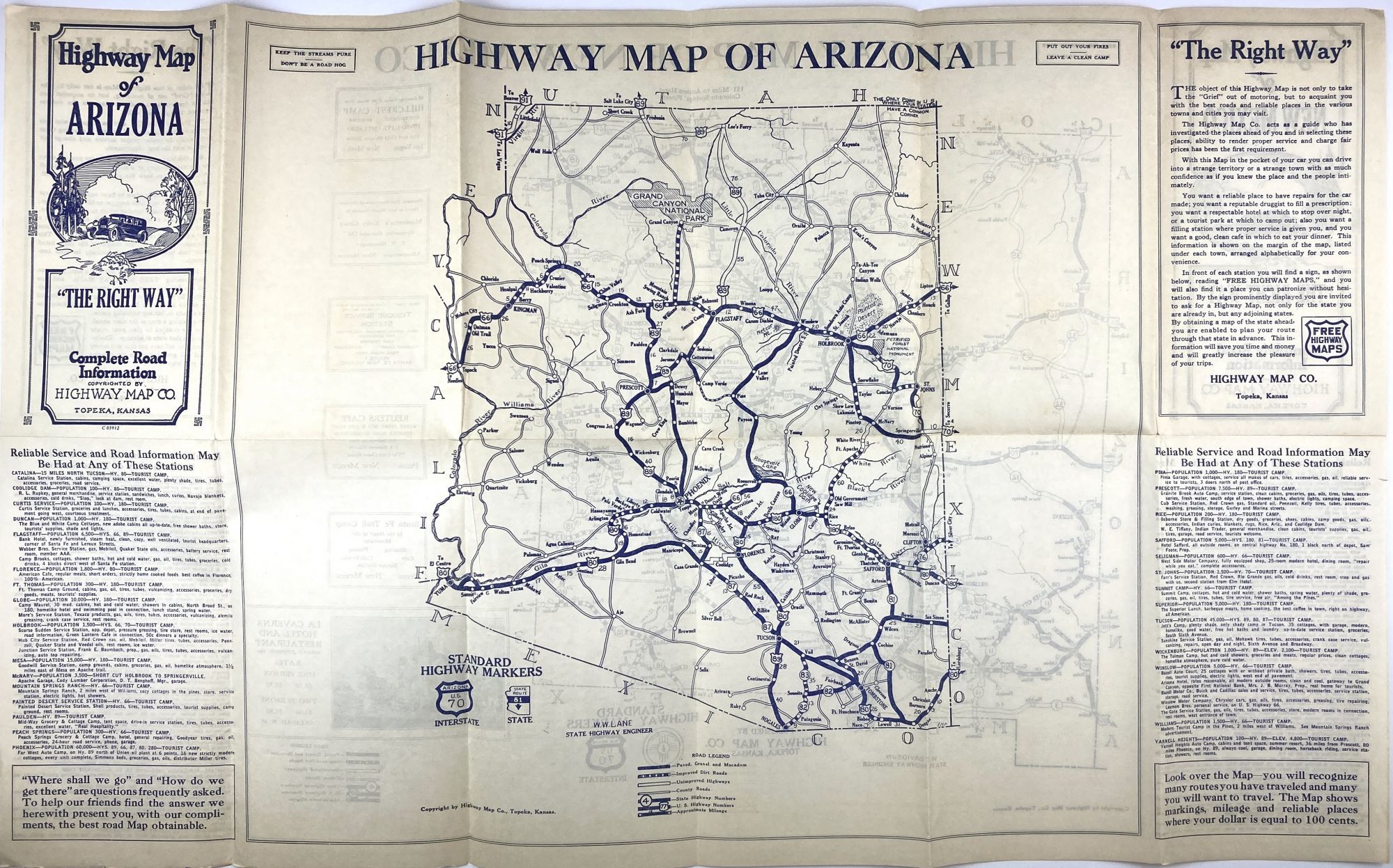
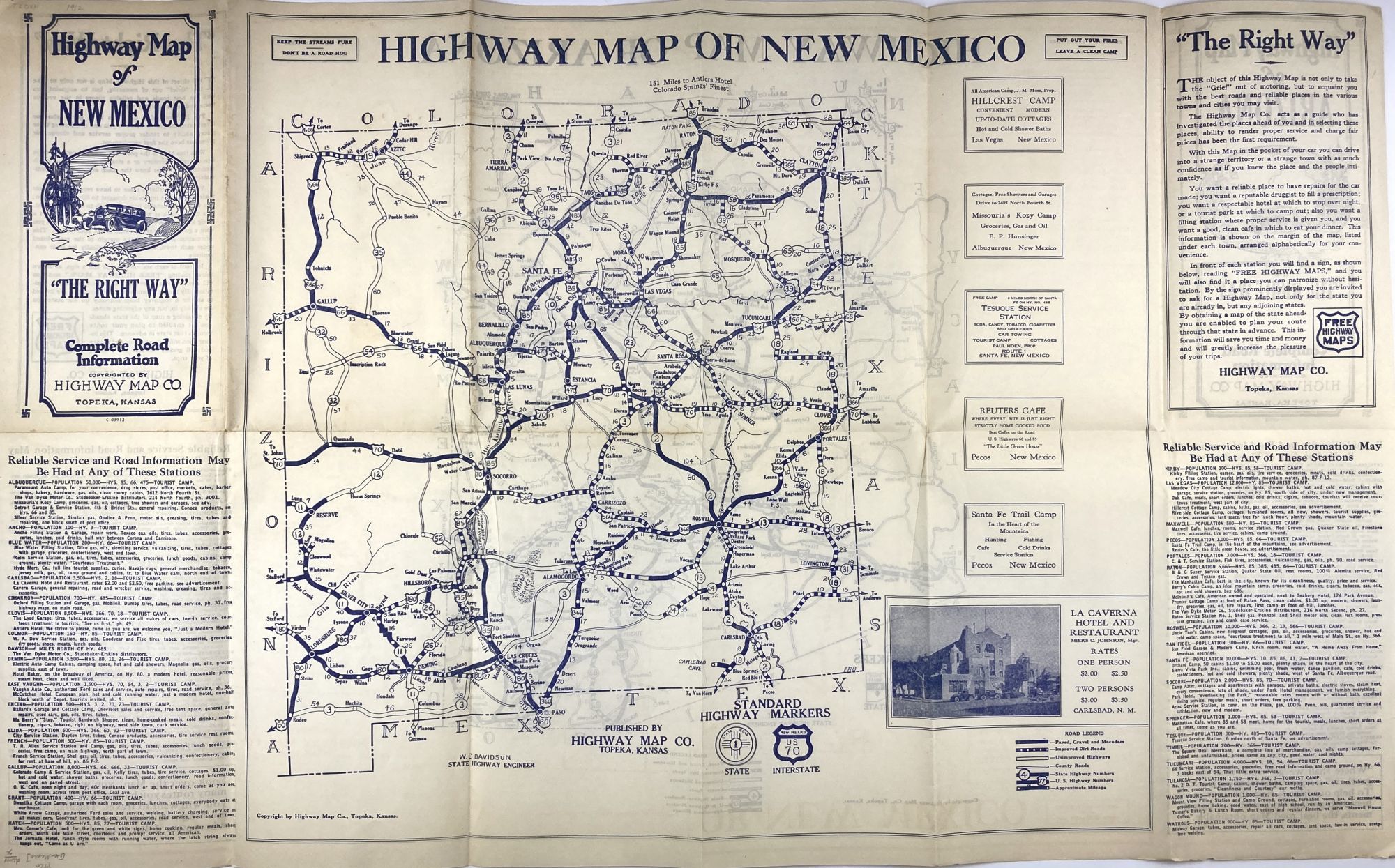
Highway Map of New Mexico / Highway Map of Arizona
- Topeka: Highway Map Co, 1920
Topeka: Highway Map Co, 1920. Very good.. Folding map, approximately 17 x 28 inches. Light wear and dust soiling along folds. Light tanning. Scare dual highway maps of New Mexico and Arizona, printed on each side of the sheet. The publisher, Highway Map Company of Topeka, published a series of slightly crude state road maps in the late 1920s. Each map present shows a somewhat blocky depiction of the system of U.S. highways, and major state roads (paved and unpaved), and provides a list of "reliable" tourist camps with information on the services available at each. OCLC locates only one copy, at the Museum of New Mexico.
Details
Title
Highway Map of New Mexico / Highway Map of Arizona
Author
[New Mexico]. [Arizona]
Condition
Very Good
Publisher
Highway Map Co: Topeka
Date
1920