Atlas Of The State Of Ohio; From Surveys under the Direction of H.F. Walling; To which is added An Atlas Of The United States


- Cloth
- New York: H.H. Lloyd & Co., for Henry S. Stebbins, 1869
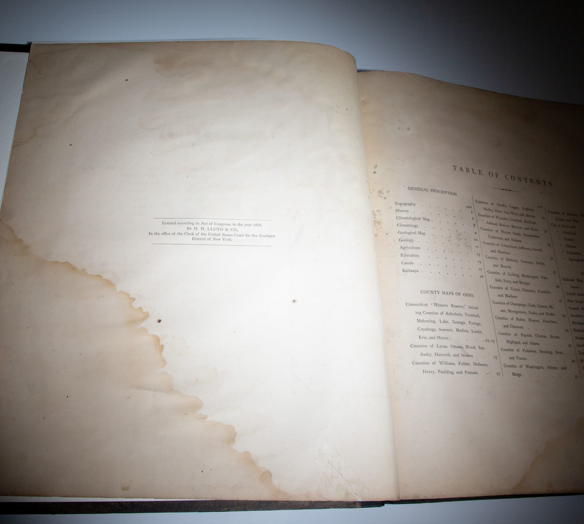
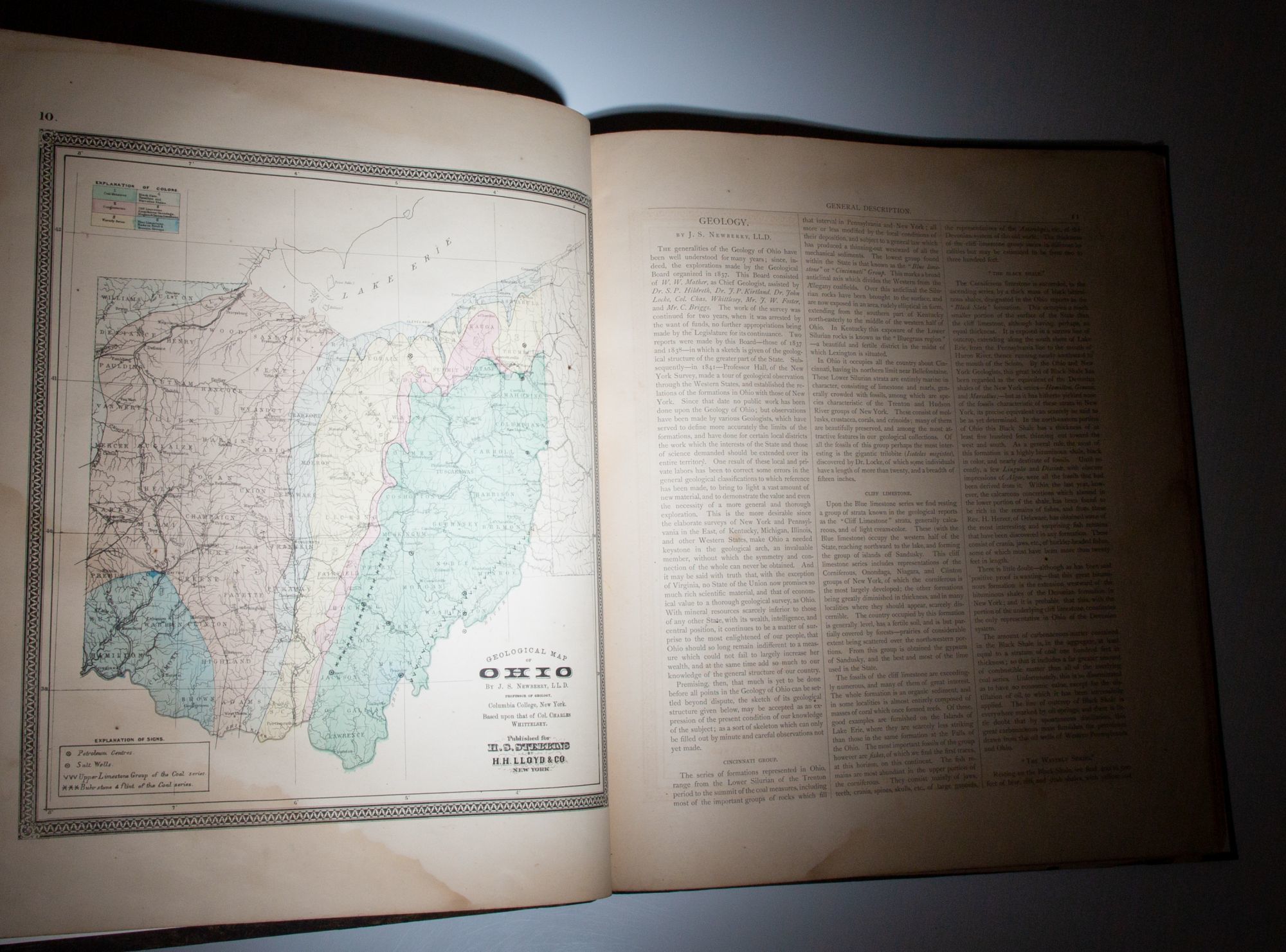
New York: H.H. Lloyd & Co., for Henry S. Stebbins, 1869. Second Edition. Cloth. Very good. 1869 Atlas of the State of Ohio by H.F. Walling of H.H. Lloyd & Co.. Folio, [102pp], [3pp index]. Publisher's original cloth over boards, new black leather spine, title in gilt on label affixed to spine, title stamped in gilt on front cover. Professional reinforcement with new endpapers, linen reinforced hinges. Dampstain affecting title page and table of contents, finger marks to fore edge of most maps. A complete atlas with all 43 called for maps, including 25 maps of Ohio and 18 "general maps" of the United States. This work followed the first edition, published by H.H. Lloyd & Company in 1868. (Phillips Maps of America, p. 917).
Details
Title
Atlas Of The State Of Ohio; From Surveys under the Direction of H.F. Walling; To which is added An Atlas Of The United States
Author
Walling, H.F.
Binding
Cloth
Condition
Very Good
Publisher
H.H. Lloyd & Co., for Henry S. Stebbins: New York
Date
1869
Edition
Second Edition