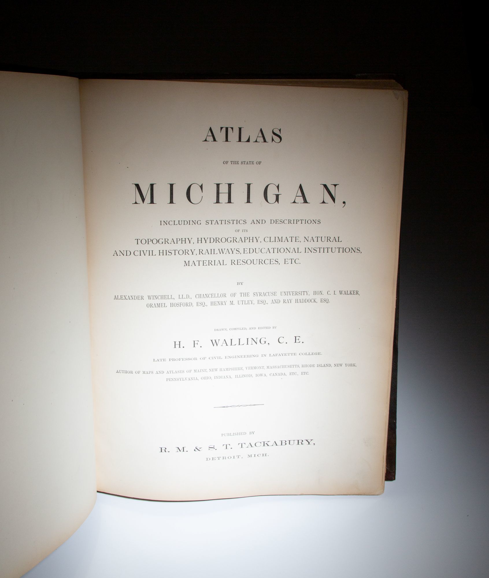
Atlas Of The State Of Michigan; Including Statistics And Descriptions Of Its Topography, Hydrography, Climate, Natural And Civil History, Railways, Educational Institutions, Material Resources, Etc.


- Cloth
- Detroit: R.M. & S.T. Tackabury, 1873
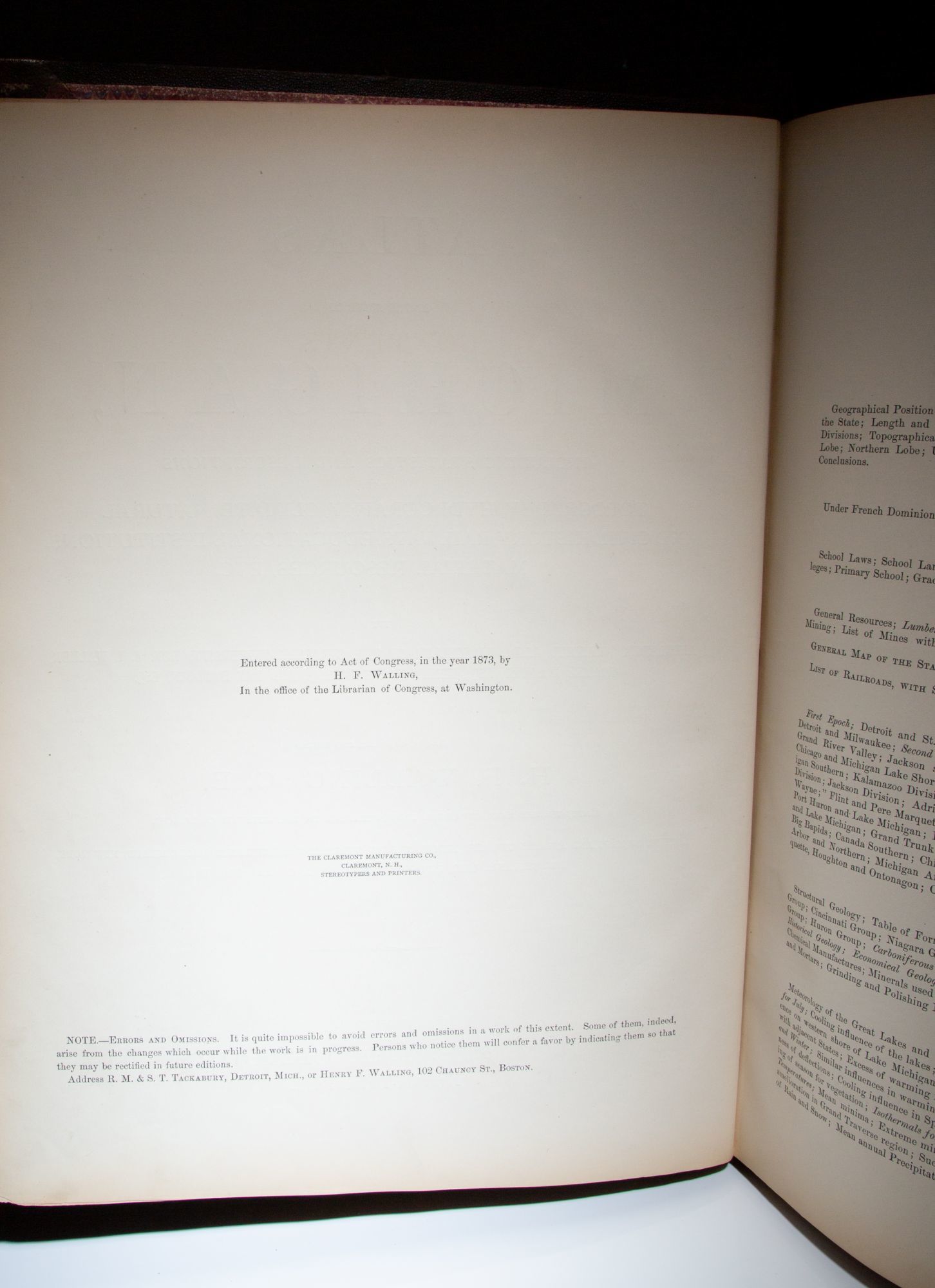
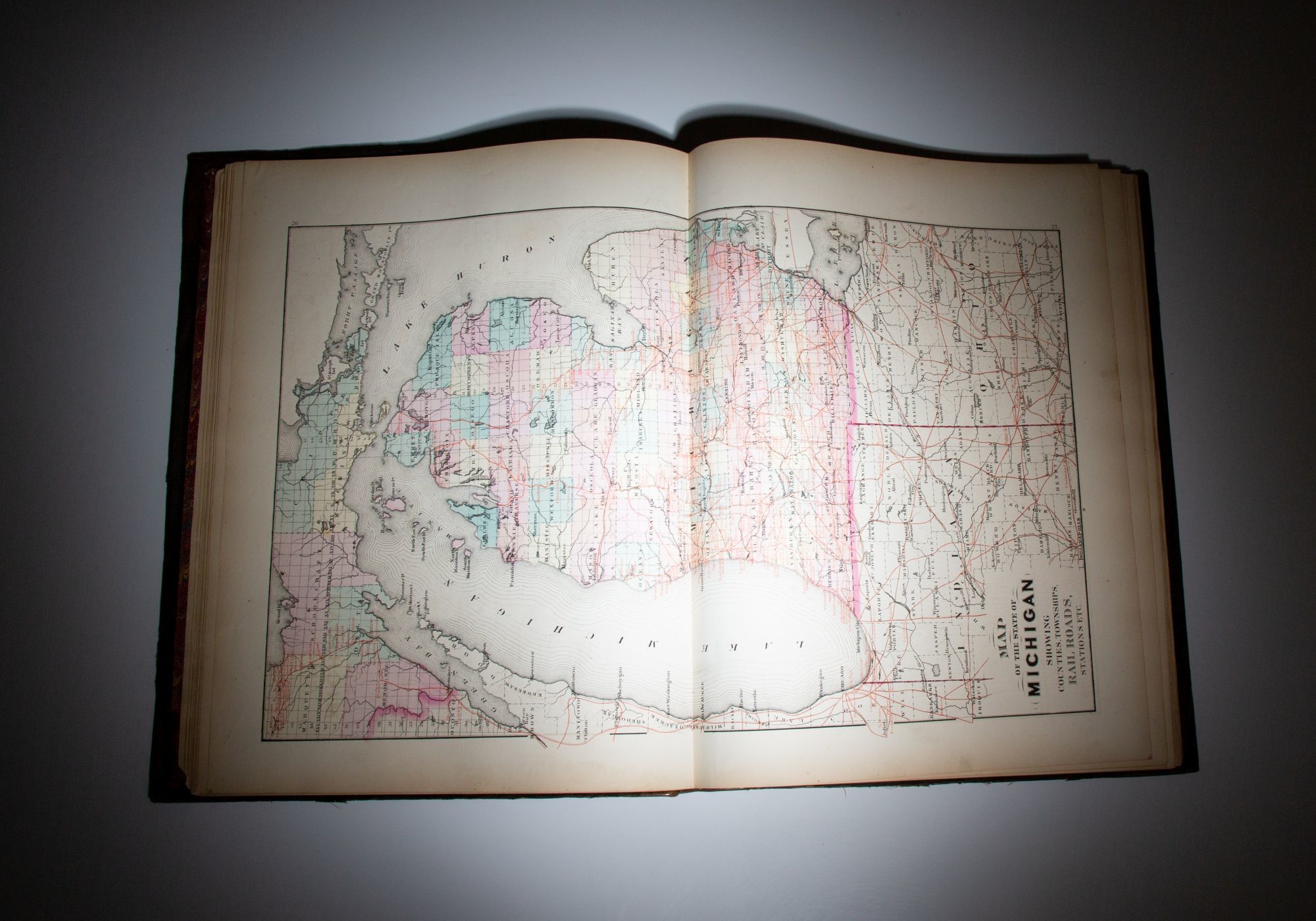
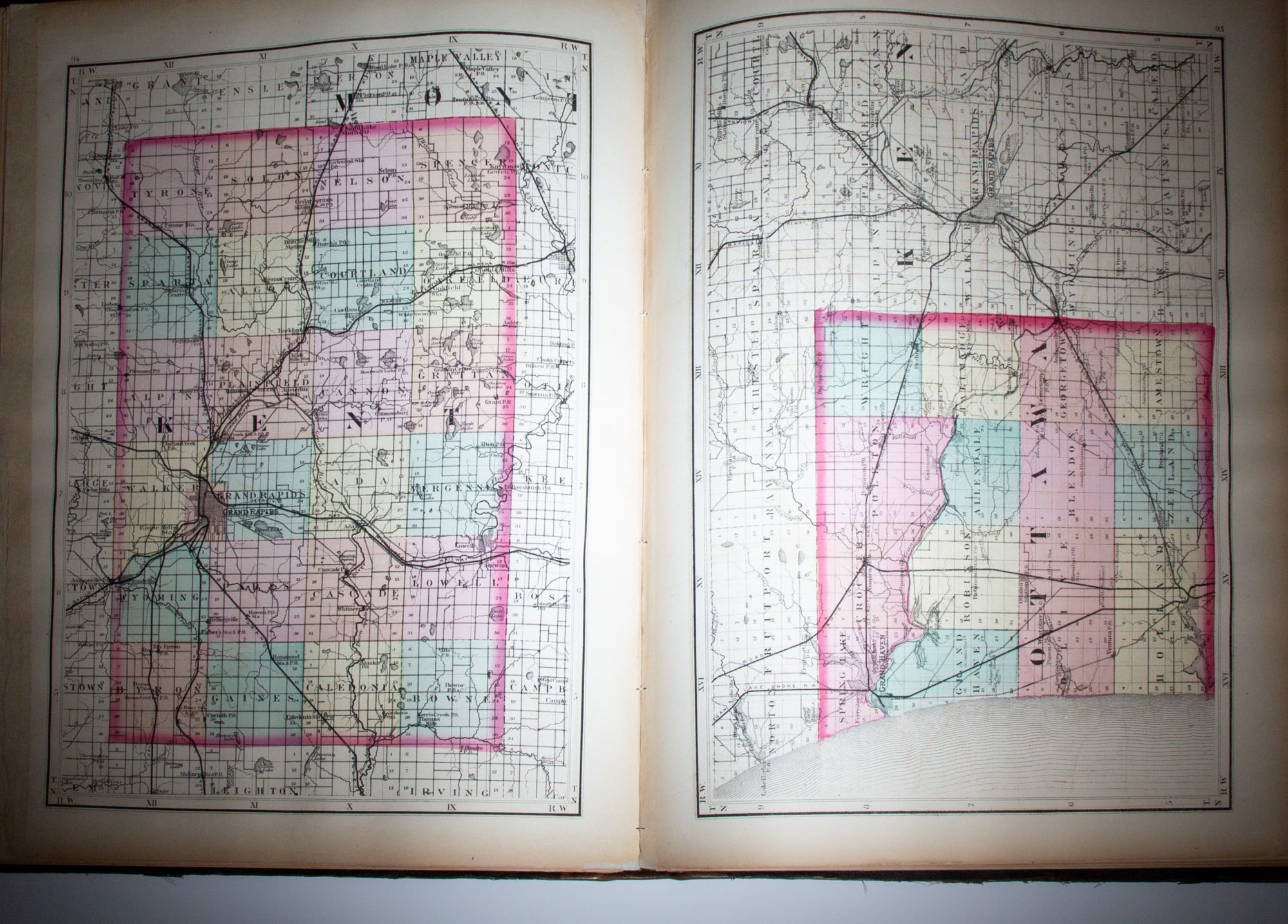
Detroit: R.M. & S.T. Tackabury, 1873. First Edition. Cloth. Very good. First edition of Atlas of the State of Michigan by H.F. Walling, published in 1873.. Folio, 162pp, [32pp business patrons]. Publisher's brown cloth, spine in brown morocco, title stamped in gilt, marbled endpapers. Professional repairs to spine, front hinge, inner joints reinforced. Japanese tissue restoration to fore edge of six maps. A complete example, with all 84 maps, 7 of which are double plates. Plates 67-70 beginning to detach. (Phillips Maps of America, p. 427) (LeGear, L1754) A very good example. Maps are drawn by Henry Francis Walling, professor of Civil Engineering at Lafayette College.
Details
Title
Atlas Of The State Of Michigan; Including Statistics And Descriptions Of Its Topography, Hydrography, Climate, Natural And Civil History, Railways, Educational Institutions, Material Resources, Etc.
Author
Walling, H.F.
Binding
Cloth
Condition
Very Good
Publisher
R.M. & S.T. Tackabury: Detroit
Date
1873
Edition
First Edition