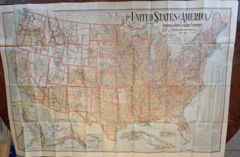
The United States of America Including all its Newly Acquired Territory
- Map
- Boston: The National Publishing Company, 1902
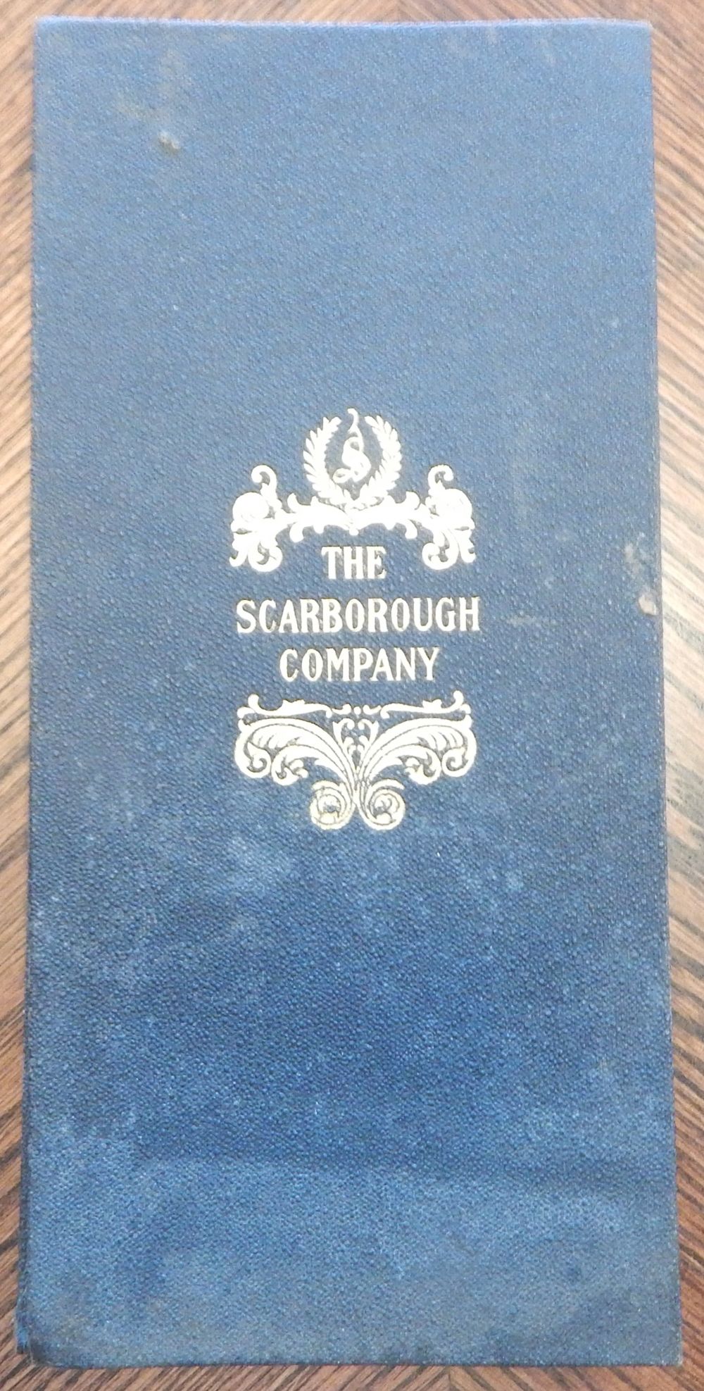
Boston: The National Publishing Company, 1902. Map. Fine. Single sheet apprixomately 37 by 56 inches bound into a portfolio of black cloth with 'The Scarborough Company' in gilt on the upper board. We note some (thumbtack?) holes along the upper margin, and a couple of small separations just at the folds, else the map is in fine condition, but the protector portfolio is lightly worn and faded in places.
The elaborate typographical title heads a map of the continental United States. Each of the States and Territories are divided into counties, with cities, towns, and villages labeled. Shipping lanes are shown with their destination and the name of the company operating the route. Several inset maps show Puerto Rico, Cuba, Hawaii, Wake, Guam, Samoa, Tutuila, Howland and Baker, Alaska, and the Philippines.
.
Details
Title
The United States of America Including all its Newly Acquired Territory
Binding
Map
Condition
Fine
Publisher
The National Publishing Company: Boston
Date
1902