A Description of the Country from Thirty to Forty Miles Round Manchester

- Hardcover
- London: Printed for John Stockdale, 1795
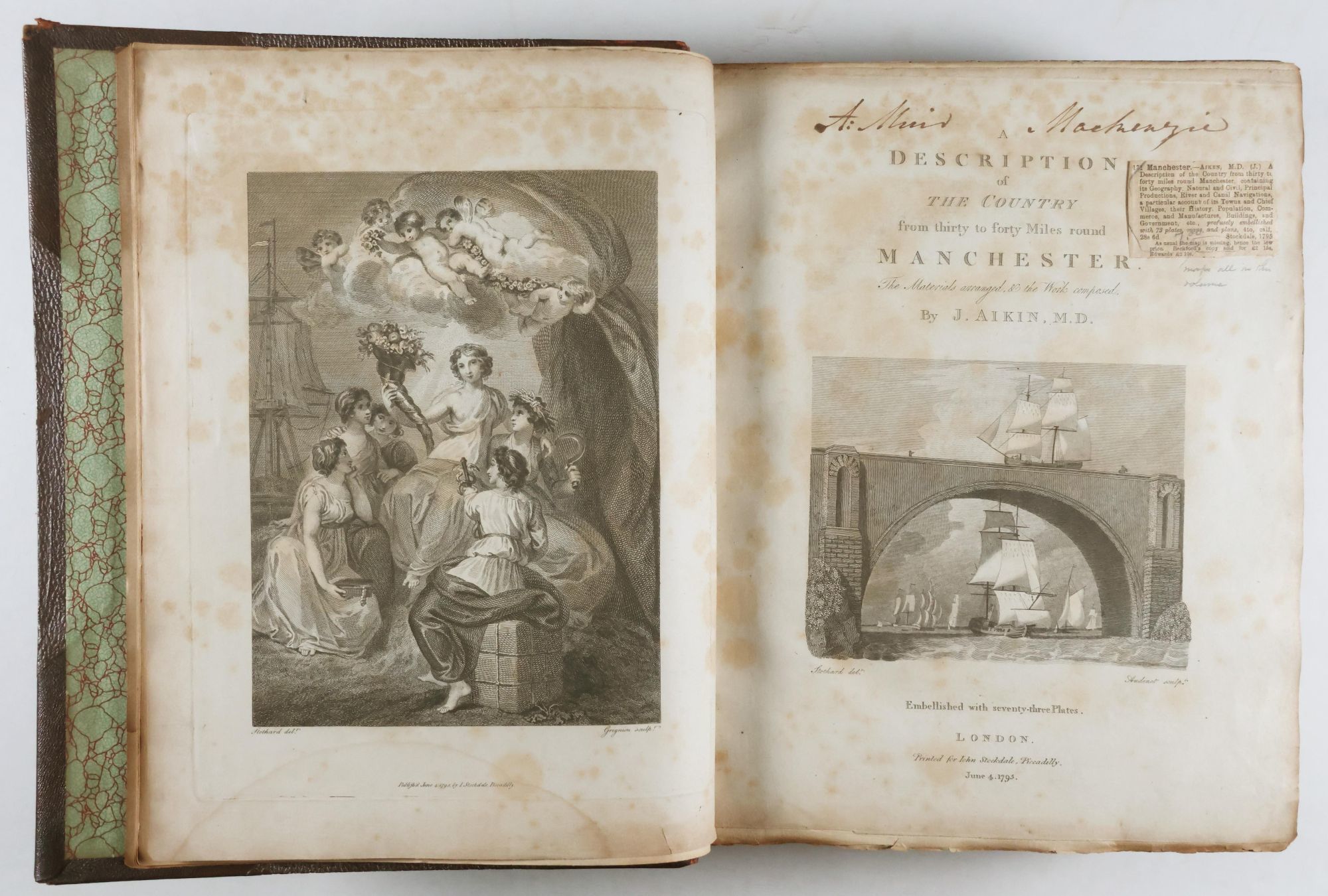
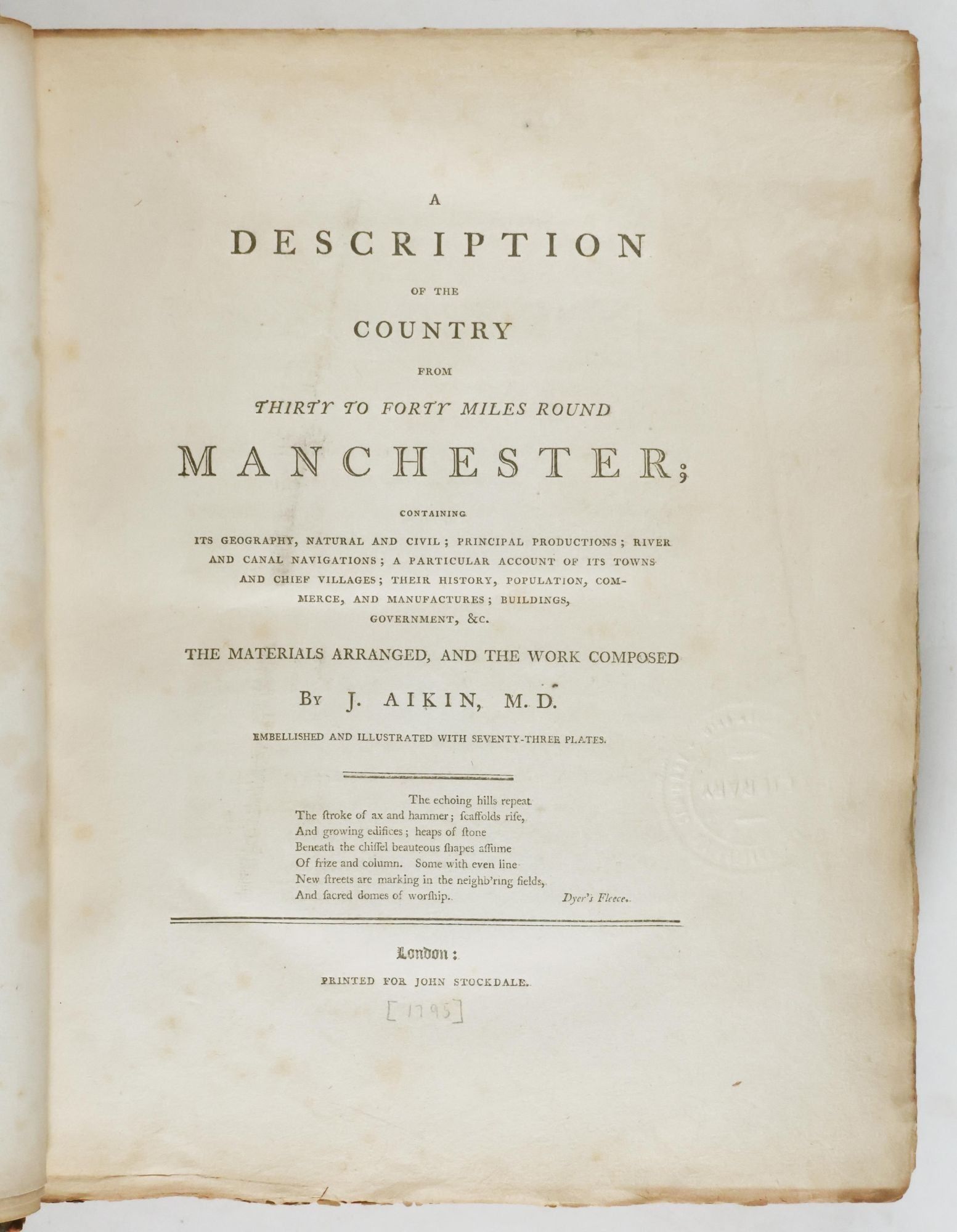
London: Printed for John Stockdale, 1795. First edition Ex-Library. Hardcover. Good- to very good condition. Small Folio. (ii) xvi. (8) 624pp., 71 plates, with tissue guards, 2 folding maps. Bound in three-quarter brown-read leather over textured boards with gilt decorative ruling on covers, gilt lettering and ruling on spine with raised bands. Decorative endpapers. Frontispiece engraving and engraved title page.
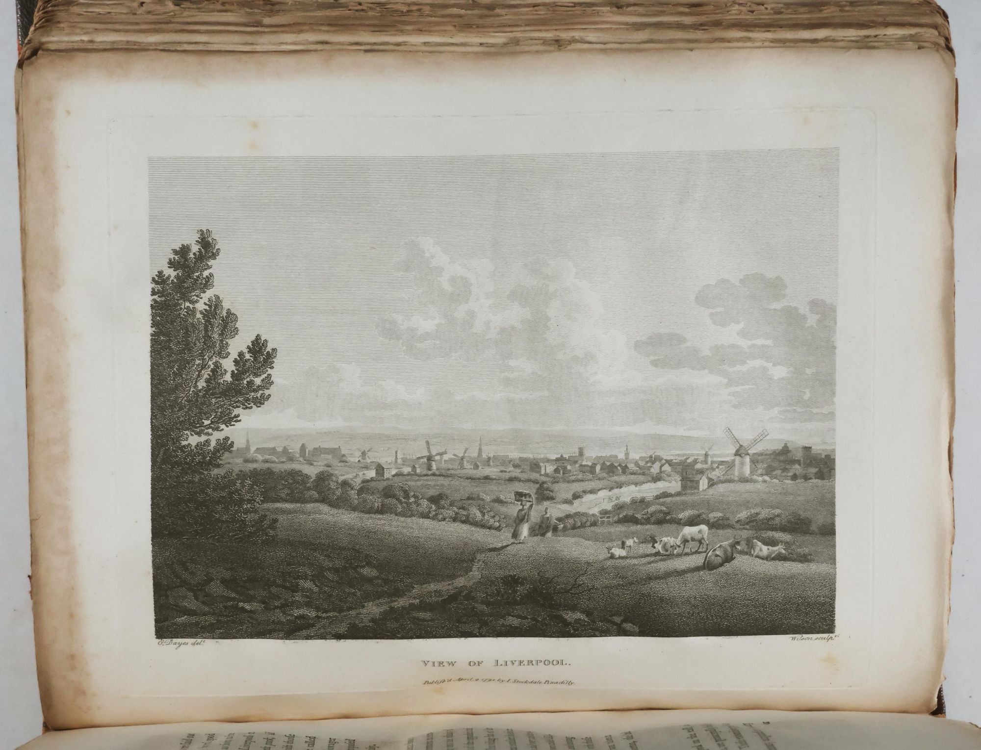
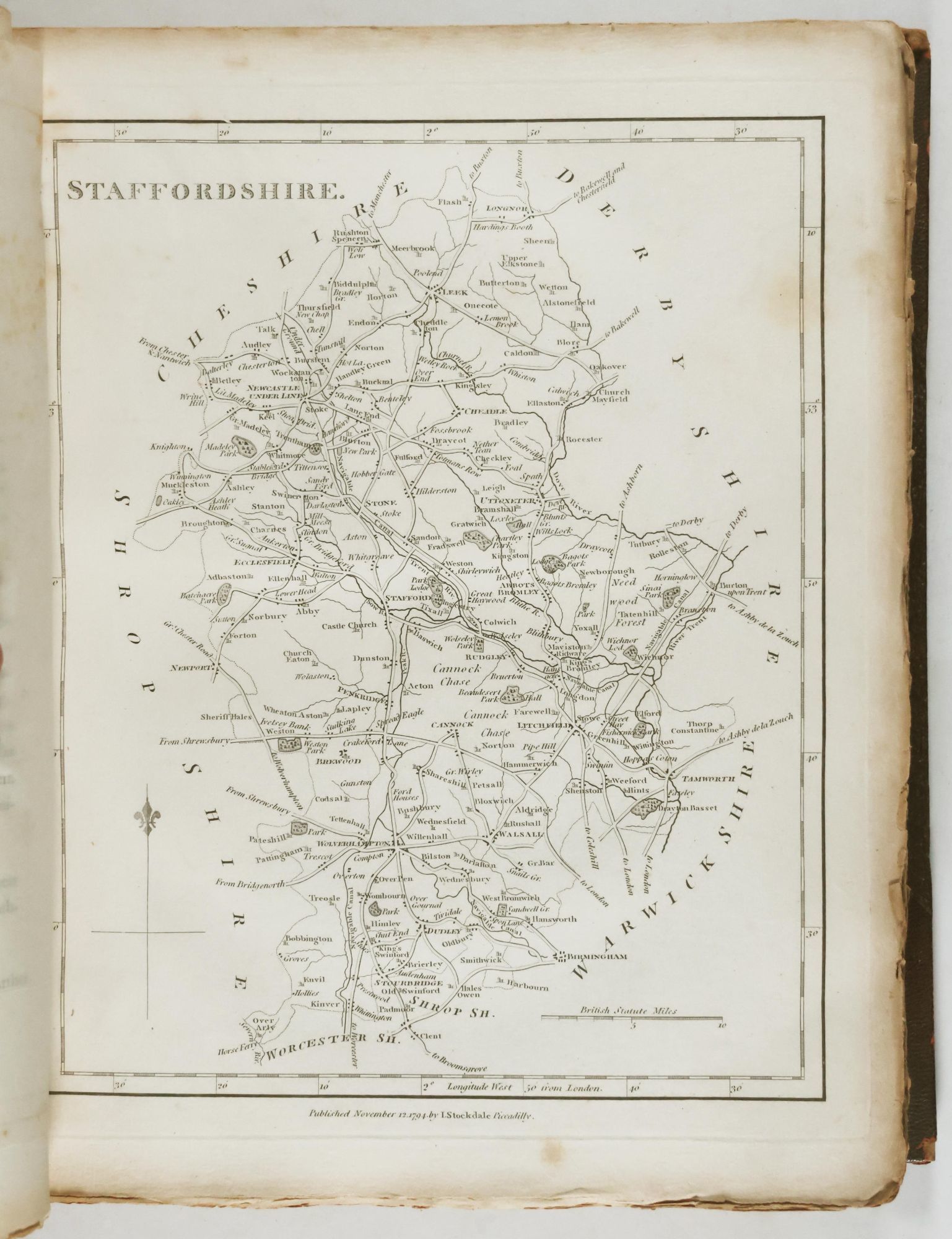
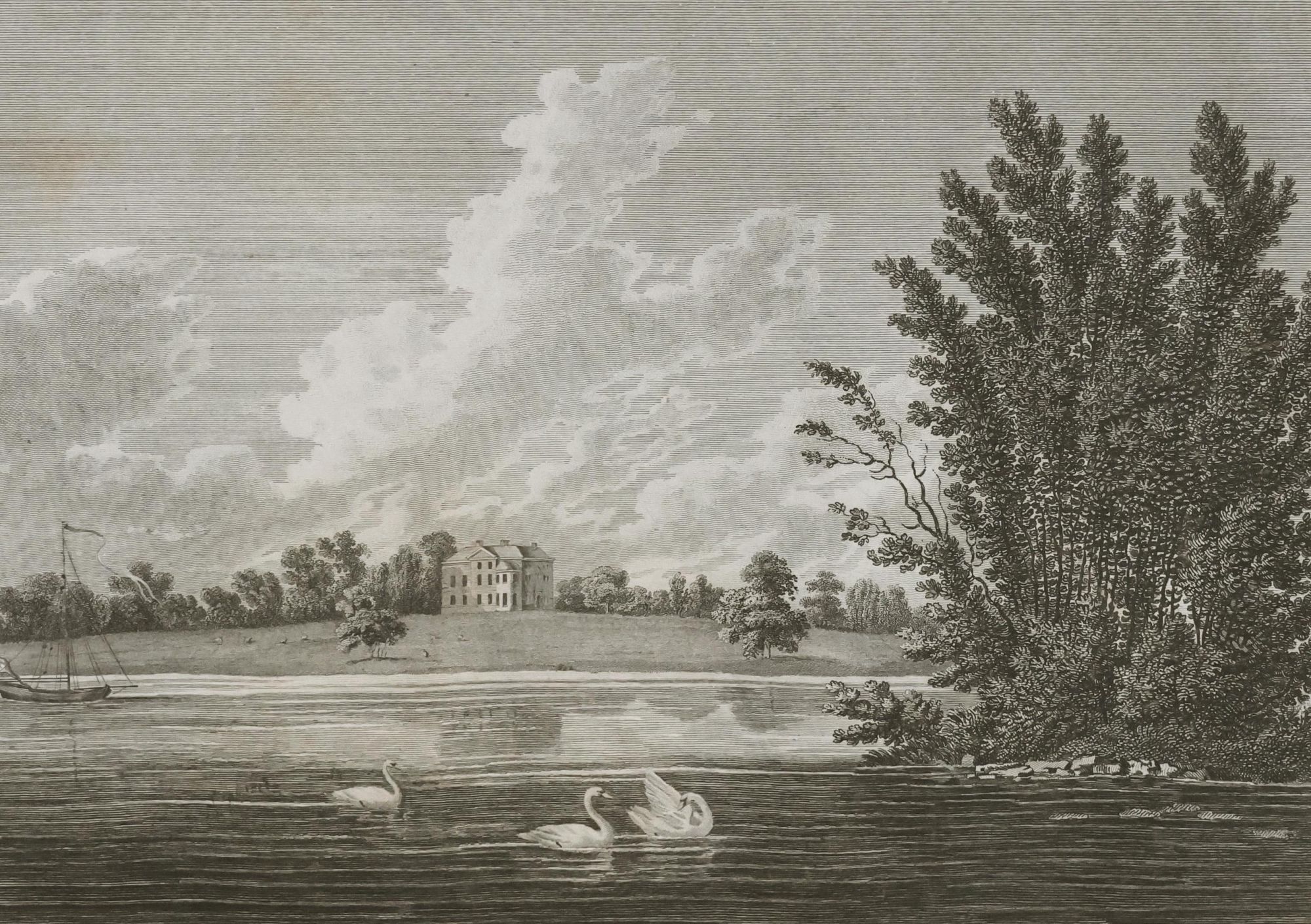
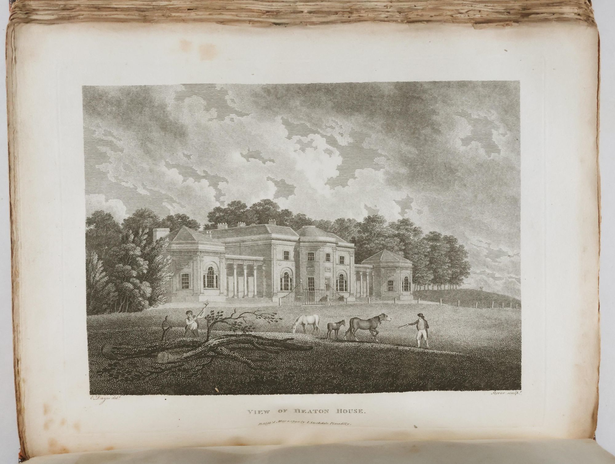
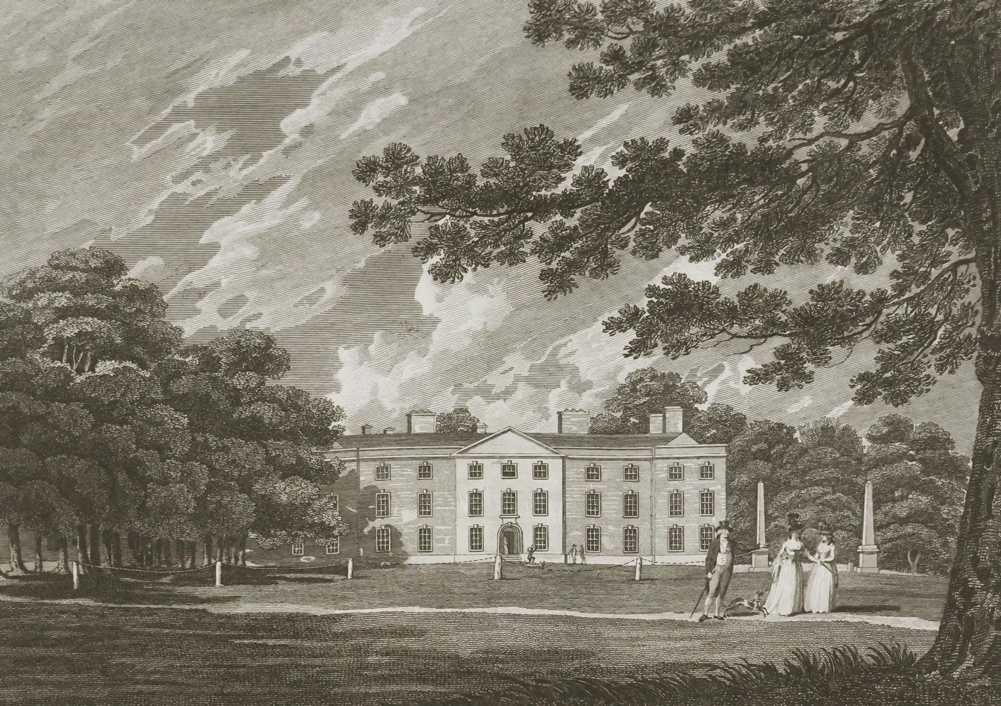
The materials included are arranged and the work of J. Aikin, embellished with seventy-three plates, including two large, detailed folding maps: topographical plan of Manchester and Salford and a new map of the country around Manchester. The volume provides a description of the Country from thirty to forty miles around Manchester; containing its geography, natural and civil; principal productions; river and canal navigation, a particular account of its towns and chief villages; their history, population, commerce, and manufactures; buildings, government, etc. With a prefatory advertisement by John Stockdale, list of plates and subscribers at front.
Spine cracked at front joint and loose but attached, partially at back joint but firm. Some light scuffing to front cover. Library number at tail of spine in handwriting. Inside front and back cover reinforced with green library tape. Library stamp on verso of front endpaper. Frontispiece with foxing in margins, slightly affecting image. Title page with foxing also lightly affecting engraving and inked note atop page and small newspaper clipping taped next to title at top. Library stamp on verso of second title page. First plate, index map of canals, river, roads, etc. with with water-staining at upper half of foredge, bleeding into map. Several tissue guards missing and occasional very light damp-staining of guards. Maps at rear with very light wear along edges. Library pocket at inside back cover.
Details
Title
A Description of the Country from Thirty to Forty Miles Round Manchester
Author
Aikin, J.
Binding
Hardcover
Condition
Good
Publisher
Printed for John Stockdale: London
Date
1795
Edition
First edition Ex-Library