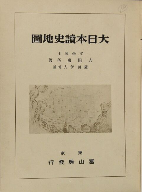
大日本讀史地圖 / Dai Nihon dokushi chizu [= Japanese historical atlas]

- Tokyo: Fuzanbou, 1939
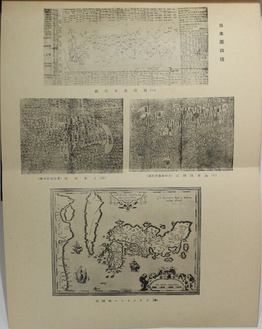
Tokyo: Fuzanbou, 1939. Eighth printing, large 8vo, pp. [2], 4, 4, 27, [3]; 1 folding plate, 82 color maps, 23 of which are single-page and the rest are double; original black buckram, gilt title on cover and spine; covers lightly soiled, occasional light foxing, 4 maps with unobtrusive edits in red pencil, very good. Maps included range in subject, illustrating political boundaries, colonial territories, historic city plans, the route of Date Masamune's world tour, military campaigns, and so on. The compilers were both prominent historical geographers. Yoshida in particular is best known for his 11 volume "Great Japanese Place Name Dictionary" which was Japan's first national topography. The first edition was published in 1935. About 6 copies of this edition in OCLC, with about 50 copies total for all editions.
Details
Title
大日本讀史地圖 / Dai Nihon dokushi chizu [= Japanese historical atlas]
Author
Yoshida, Togo, and Korehito Ashida
Condition
Unknown
Publisher
Fuzanbou: Tokyo
Date
1939