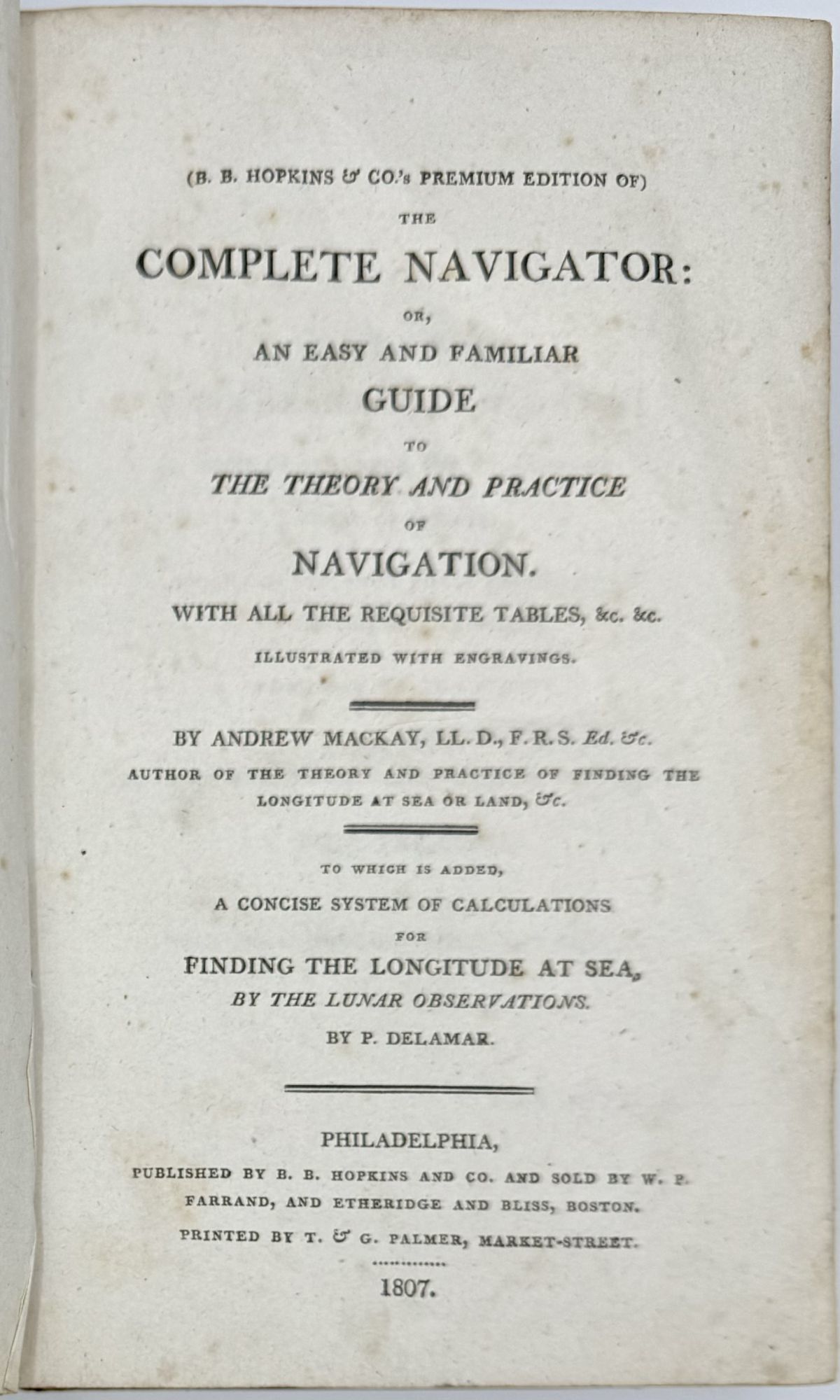
The Complete Navigator: or, An Easy and Familiar Guide to the Theory and Practice of Navigation. With all the Requisite Tables, &c. &c. Illustrated with engravings. To which is added, A Concise System of Calculations for Finding the Longitude at Seas, by the Lunar Observations by P. Delmar
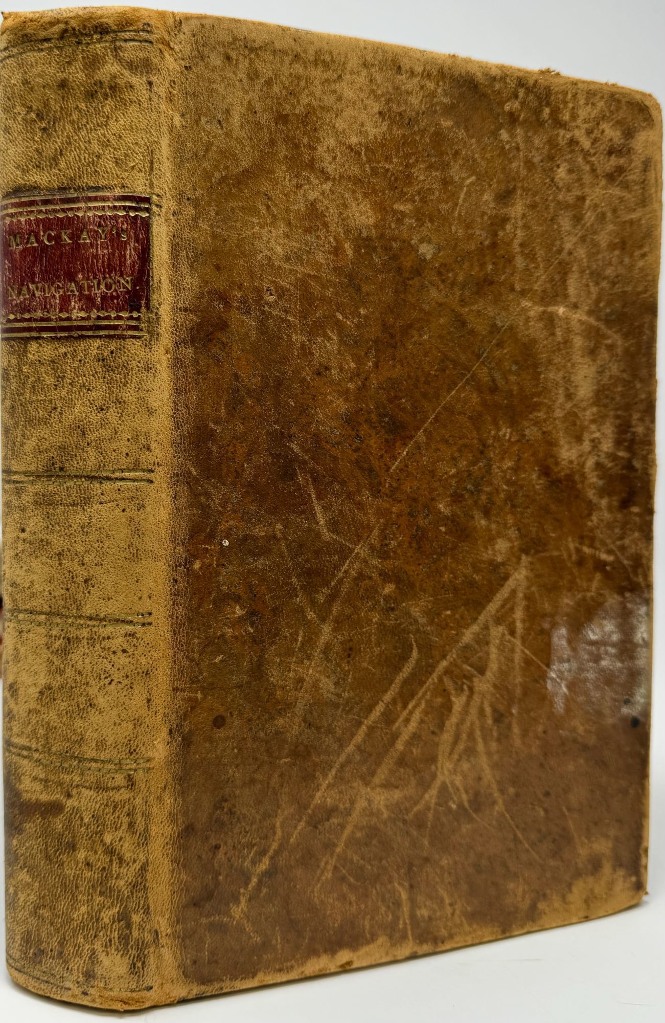
- Leather bound
- Philadelphia: B.B. Hopkins & Co, 1807
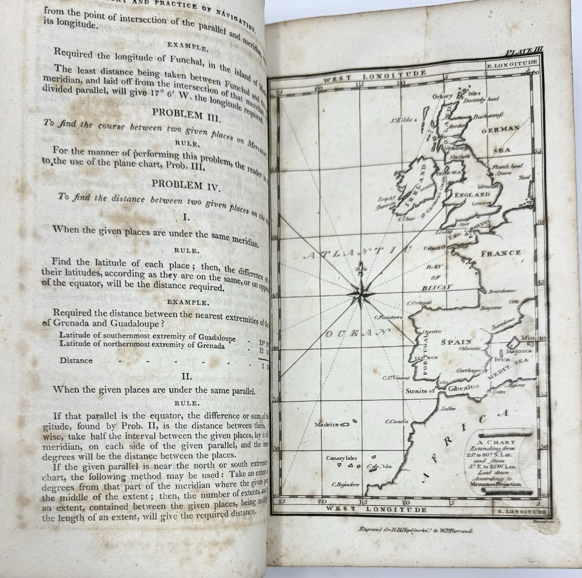
Philadelphia: B.B. Hopkins & Co, 1807. First Edition. Leather bound. Very good. Map: A Chart Extending from 25 degrees to 60 degrees N. Lat. and from 5 degrees E. to 25 degrees W. Lon. Laid down according to Mercator's Projection.
First edition. 8vo, xxiii [i], 275 [1], 40 + 220pp of Tables, [2 Directions to the Binder and an Advertisment]; full brown calf over board with gilt stamped red leather label to spine; 7 full page engravings bound in including a map; wear t covers with scuffing and bumping, front and rear hinges cracked but holding, some diffuse foxing, half-title and rear free endpaper partially separated; very good minus.
First edition. 8vo, xxiii [i], 275 [1], 40 + 220pp of Tables, [2 Directions to the Binder and an Advertisment]; full brown calf over board with gilt stamped red leather label to spine; 7 full page engravings bound in including a map; wear t covers with scuffing and bumping, front and rear hinges cracked but holding, some diffuse foxing, half-title and rear free endpaper partially separated; very good minus.
Details
Title
The Complete Navigator: or, An Easy and Familiar Guide to the Theory and Practice of Navigation. With all the Requisite Tables, &c. &c. Illustrated with engravings. To which is added, A Concise System of Calculations for Finding the Longitude at Seas, by the Lunar Observations by P. Delmar
Author
MACKAY, Andrew. P. DELMAR
Binding
Leather bound
Condition
Very Good
Publisher
B.B. Hopkins & Co: Philadelphia
Date
1807
Edition
First Edition