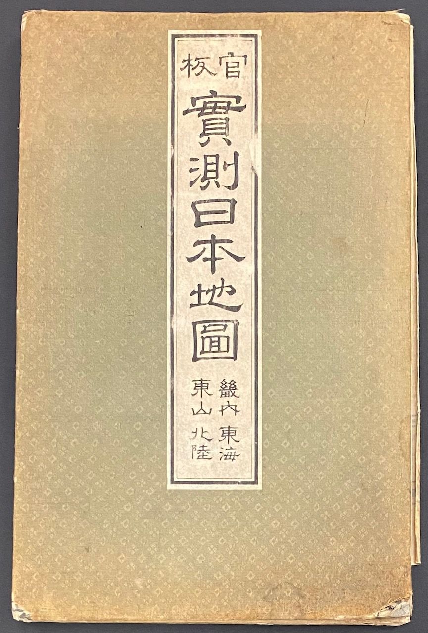
Kanpan Jissoku Nihon chizu. Kinai, Tokai, Tosan, Hokuriku. 官板 実測日本地図. 畿内・東海・東山・北陸
- map
- n.p. , n.d.
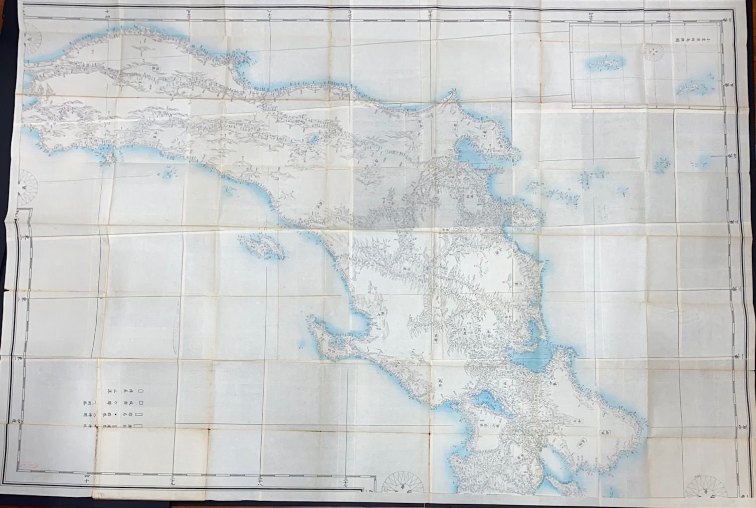
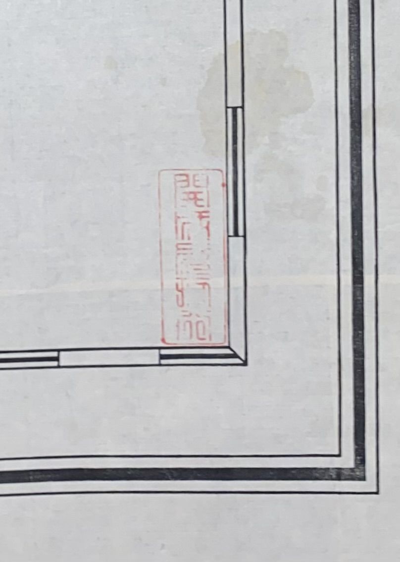
n.p., n.d.. map. Large 61x90 inch map, folded into approximately 8.5x13 inch cloth-covered boards. One of four sheets published of this map of Japan based on the government’s own highly accurate coastal surveillance (Kazutaka Unno, "Cartography in Japan," p. 453). No publisher's info on this quadrant of the map, but it appears to be the revised 1870 edition published by the University Southern School (later Tokyo University), or a reprint thereof. Undeciphered red stamp in one corner.
Details
Title
Kanpan Jissoku Nihon chizu. Kinai, Tokai, Tosan, Hokuriku. 官板 実測日本地図. 畿内・東海・東山・北陸
Binding
map
Condition
Unknown
Publisher
n.p.
Date
n.d.