Atlas to Accompany the "Narrative of the United States Exploring Expedition." (Atlas only)
- Philadelphia , 1845
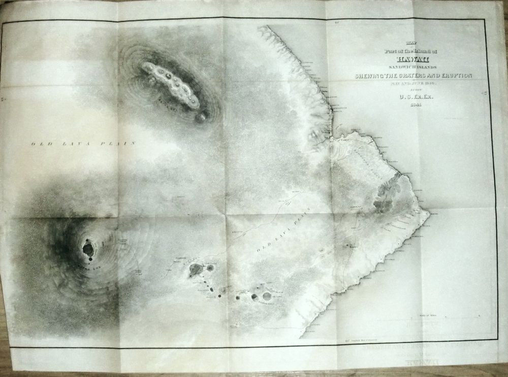
Philadelphia, 1845. This is the original atlas to accompany the five-volume Wilkes Expedition report. It contains four of the five folding maps originally issued, lacking the map of the Oregon Territiory. Present are: Track Map - a hand-colored map of the world), Map of the Antarctic Continents, Map of the Feejee Group, and Map of the Southeast Portion of Hawaii. Bound as issued in full government calf. Spine labels chipped.. 27 cm. Four (of five) folding maps, including one hand colored.
Details
Title
Atlas to Accompany the "Narrative of the United States Exploring Expedition." (Atlas only)
Author
Wilkes, Charles.
Condition
Unknown
Publisher
Philadelphia
Date
1845