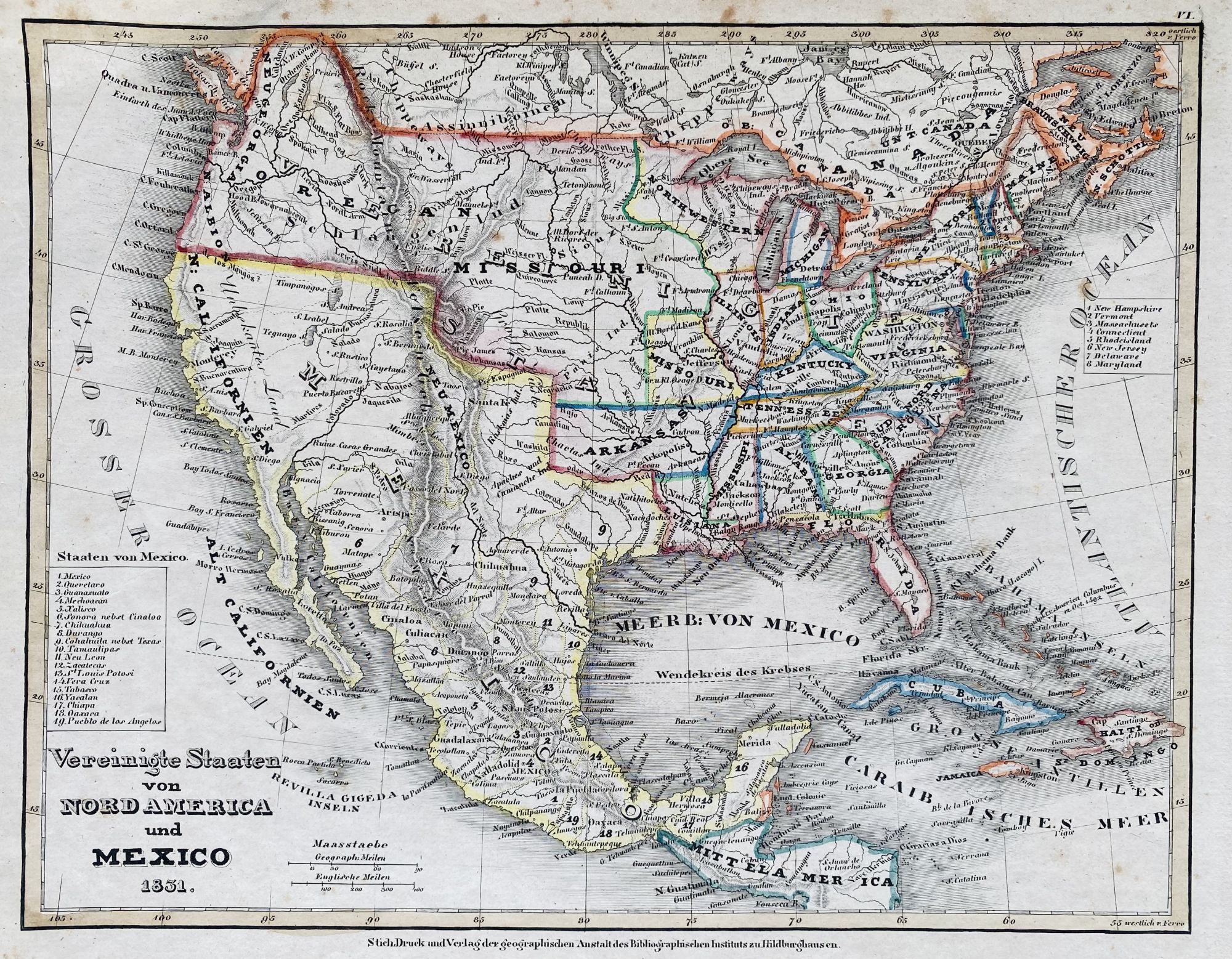
Vereinigte Staaten von Nord America und Mexico 1831
- Hildburghausen, GER: Stich, Druck und Verlag der Geographischen Anstalt des Bibliographischen Instituts, 1831
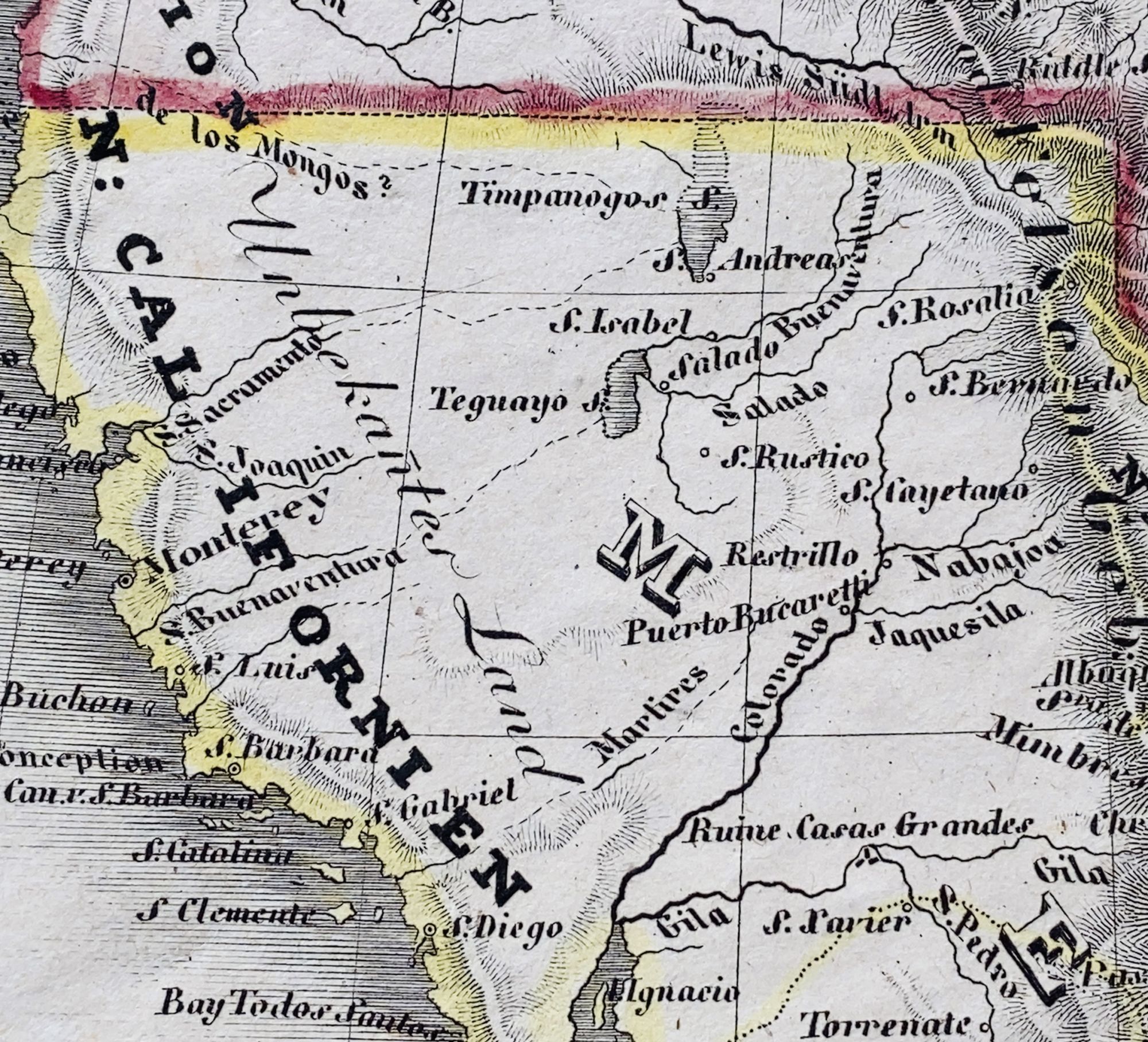
Hildburghausen, GER: Stich, Druck und Verlag der Geographischen Anstalt des Bibliographischen Instituts, 1831. Map [19.5 cm x 25 cm] / [7.5" x 10"] on a single sheet [23 cm x 31 cm] / [9" x 12.25"] Hand tinted borders. Gentle overall foxing. Attractive map of America, Mexico and southern Canada shortly after Mexican independence with a legend at the lower left listing the 19 Mexican states. Waterways and bodies of water are located and many western tribes are located as well. The Great Salt Lake and Utah Lake are shown but unnamed. The Great Basin is labeled 'Unbekantes Land' [Unknown Land]. Not in Wheat. Not in Moffat. Rare.
Details
Title
Vereinigte Staaten von Nord America und Mexico 1831
Condition
Unknown
Publisher
Stich, Druck und Verlag der Geographischen Anstalt des Bibliographischen Instituts: Hildburghausen, GER
Date
1831