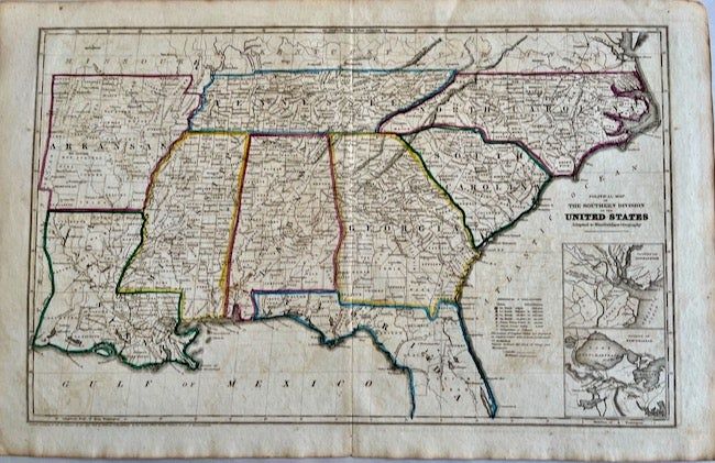
Political Map of the Southern States of the United States Adapted to Woodbridges Geography
- Map
- Massachusetts: William C. Woodbridge, 1843
Massachusetts: William C. Woodbridge, 1843. Map. Very good. Map. Approx. 18.5" x 12". Map shows Arkansas, Louisiana, Tennessee, Mississippi, Alabama, Georgia, Florida, South Carolina, and North Carolina. Inset maps of New Orleans and Charleston included. Color borders for the States. Light toning to the map.
Details
Title
Political Map of the Southern States of the United States Adapted to Woodbridges Geography
Author
Political] [William C. Woodbridge]
Binding
Map
Condition
Very Good
Publisher
William C. Woodbridge: Massachusetts
Date
1843