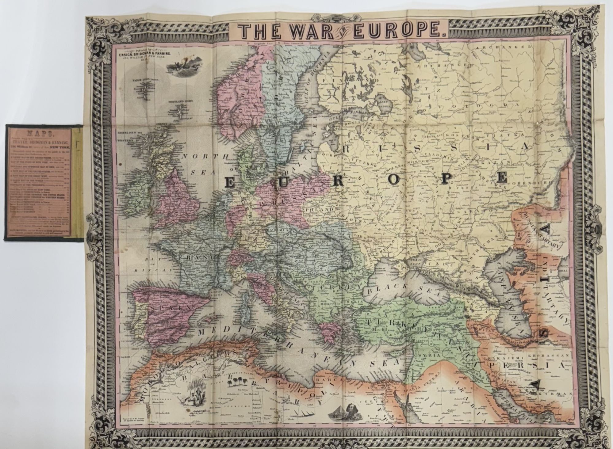
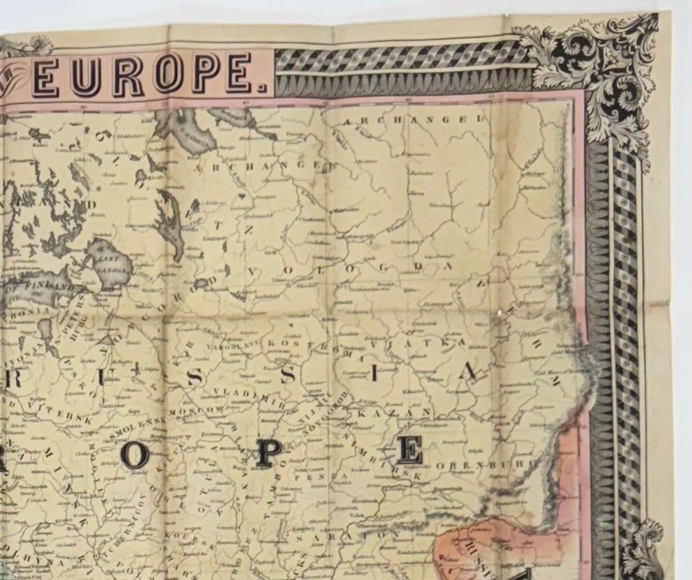
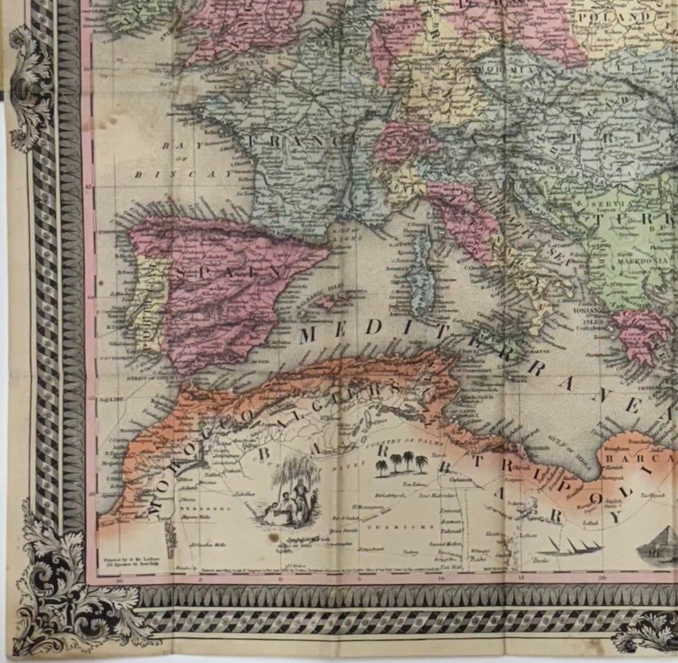
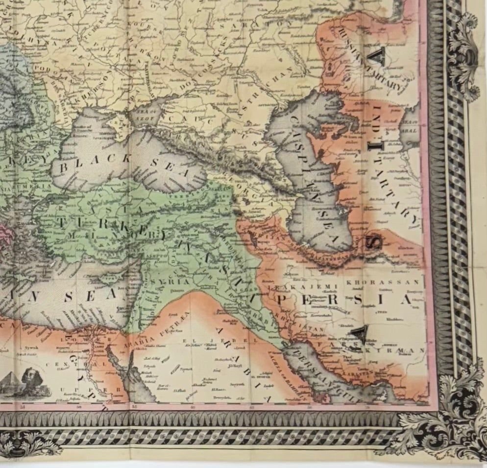
The War in Europe
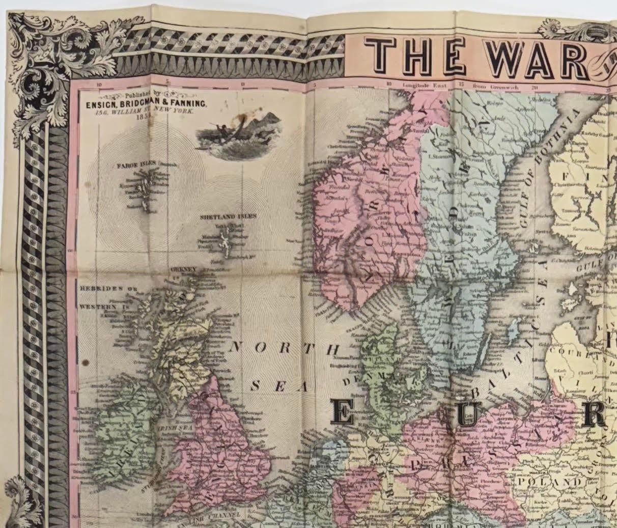
- New York: Ensign, Bridgman & Fannin, 156, William St, 1854
New York: Ensign, Bridgman & Fannin, 156, William St, 1854. [MAP] [POCKET MAP]. D. Mc Lellan, 26 Spruce St., New York, printer.
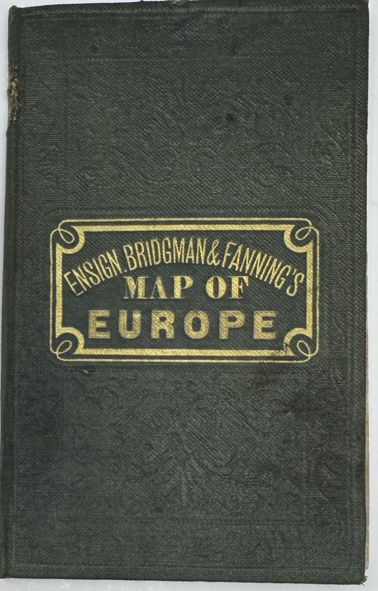
Cover title: Ensign Bridgman & Fanning's Map of Europe
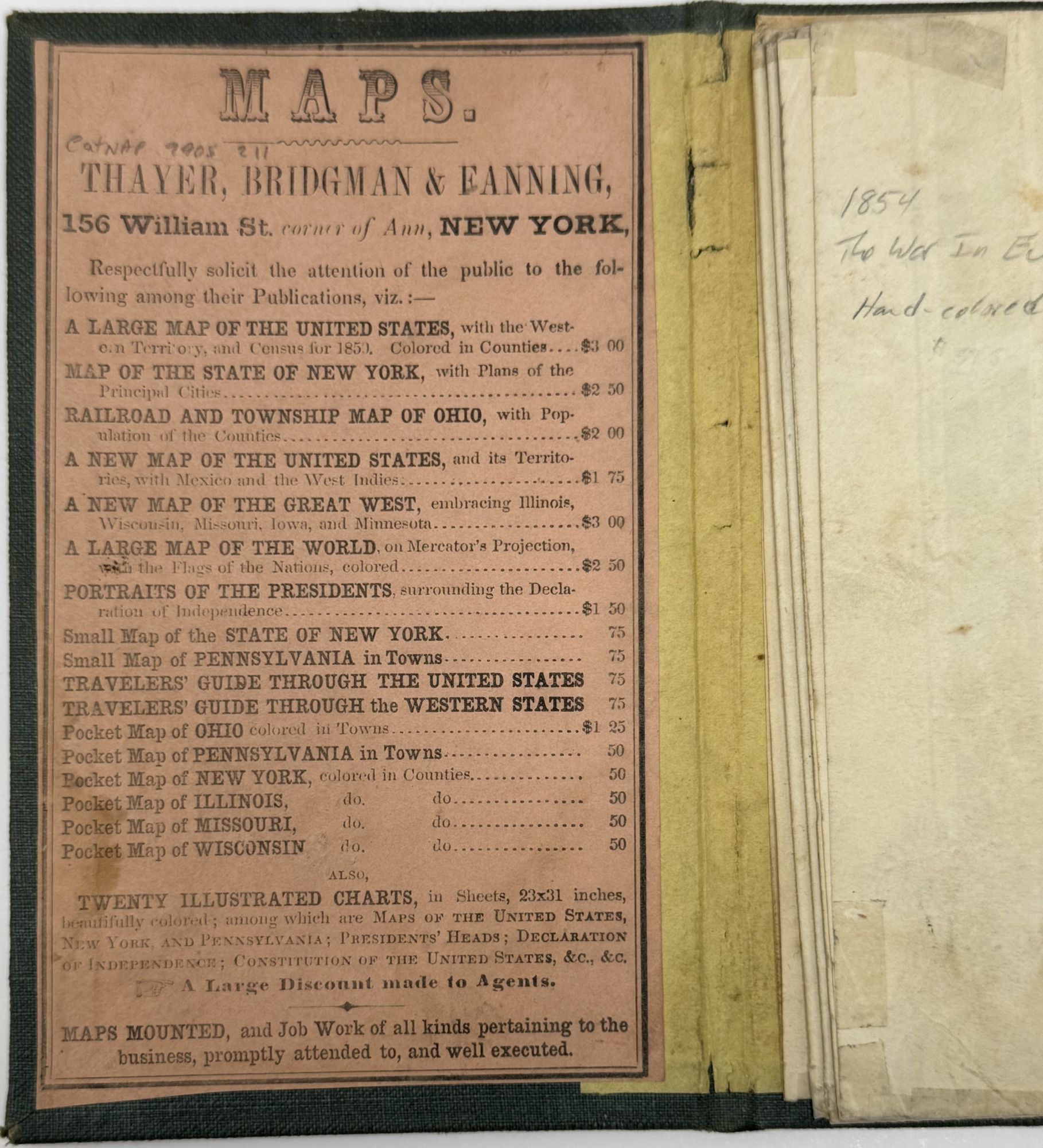
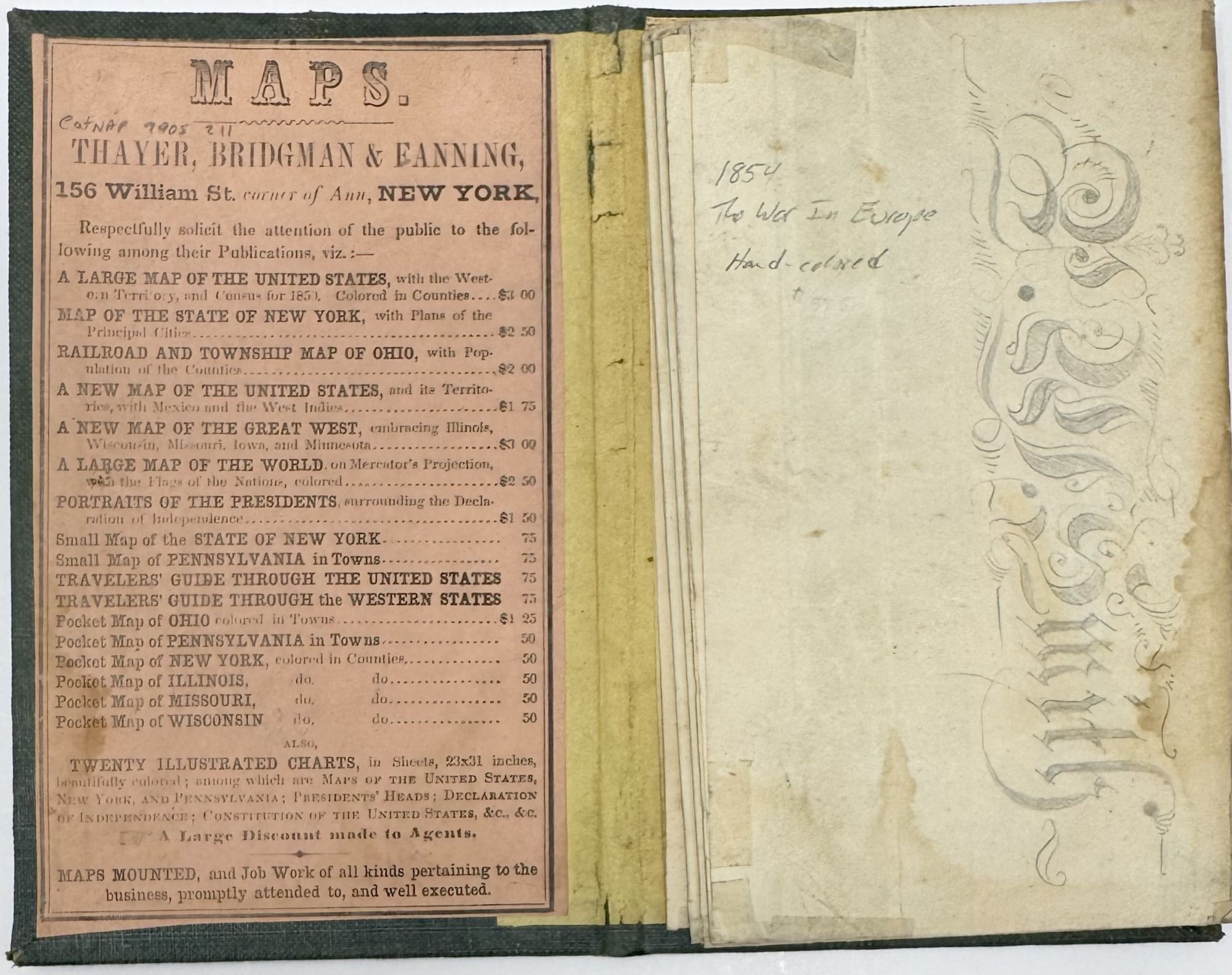
Sheet size (21 1/8" x 25"); within the neat line (18 1/8" 121 ¾"); green cloth over board booklet, blind-stamped decorative design front and rear, gilt-stamped lettering within a gilt frame on front; publisher's ad on pink onlay to inside front board; decorative borders and small engraved vignettes; hand-colored, with folds as issued; rubbing to boards, an area of fraying on spine, map is bright with a few splits at folds, age toning on verso at fold edges; very good. OCLC locates 5 copies, 4 in the U.S. and one at McGill in Canada. (OCLC 972712363. AAS 538298). A relief map of Europe published during the Crimean War (1853-1856), in which Russia's attempt to expand westward into Europe was eventually halted by the alliance of Great Britain, France, the Ottoman Empire, and Sardinia with the Treaty of Paris. The highly decorative map features elaborate borders and small decorative vignettes of a seal hunter with a spear, the Sphinx in Egypt, and a family in Morocco.
Cover title: Ensign Bridgman & Fanning's Map of Europe
Sheet size (21 1/8" x 25"); within the neat line (18 1/8" 121 ¾"); green cloth over board booklet, blind-stamped decorative design front and rear, gilt-stamped lettering within a gilt frame on front; publisher's ad on pink onlay to inside front board; decorative borders and small engraved vignettes; hand-colored, with folds as issued; rubbing to boards, an area of fraying on spine, map is bright with a few splits at folds, age toning on verso at fold edges; very good. OCLC locates 5 copies, 4 in the U.S. and one at McGill in Canada. (OCLC 972712363. AAS 538298). A relief map of Europe published during the Crimean War (1853-1856), in which Russia's attempt to expand westward into Europe was eventually halted by the alliance of Great Britain, France, the Ottoman Empire, and Sardinia with the Treaty of Paris. The highly decorative map features elaborate borders and small decorative vignettes of a seal hunter with a spear, the Sphinx in Egypt, and a family in Morocco.
Details
Title
The War in Europe
Author
[McCLELLAN, David]
Condition
Unknown
Publisher
Ensign, Bridgman & Fannin, 156, William St: New York
Date
1854