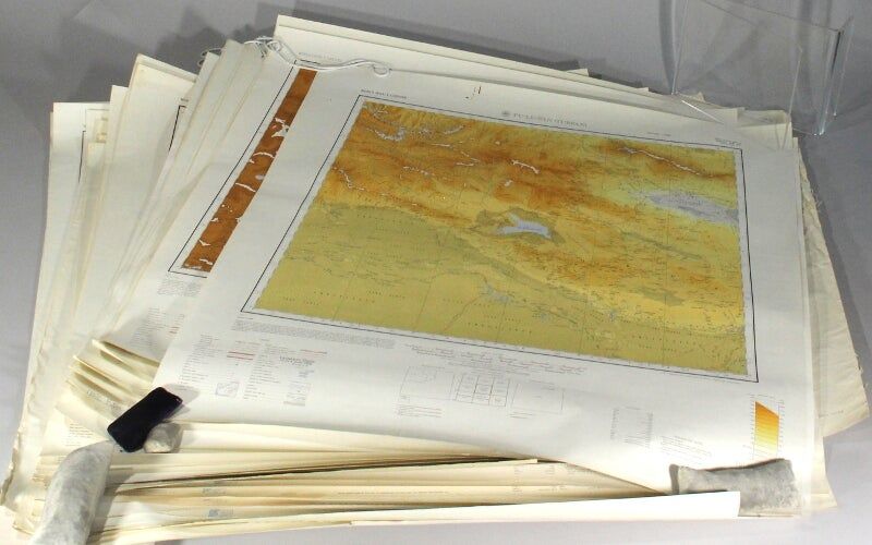
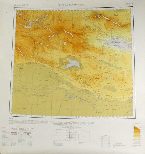
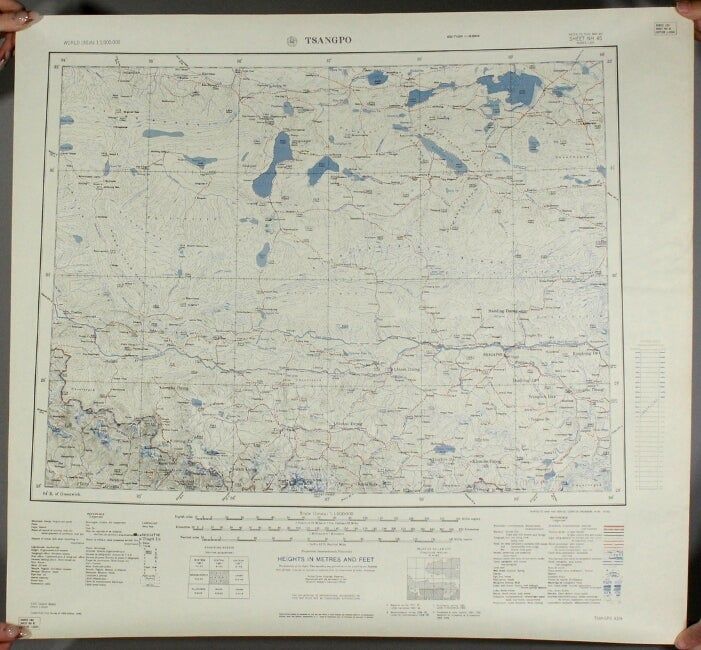
International map of the world. 35 AMS 1301 series maps, Central and South Asia and China
- London and Washington DC , 1967
London and Washington DC, 1967. 35 relief color maps plus one color key map, 1:1,000,000 scale; covering the full grid range from NG-43 to NK-49, plus NM-48 (including the Eastern USSR, Mongolia, Western China, Northern India, Tibet, Nepal, Burma, and Bhutan); various sizes but about 27 x 29 in. on average, most produced by the US military with 7 produced by the British military; an assortment of editions, many first; NI-46, NI-48 and NJ-19 with creasing at one edge, NI-43 soiled, otherwise the whole very good to near fine. The International Map of the World was the cartographical brain child of Albrecht Penck, who in the late 19th century conceived of a series of maps uniformly produced that would cover the whole of the Earth's land mass. To accomplish this, the planet was divided into 2,500 segments, and each segment was to be produced independently by various governments and NGOs. The project was envisioned to be strictly apolitical, but this meant that buy-in was slow for governmental bodies, and the lack of thematic information frustrated potential contributors in industry and led to University of Wisconsin cartographer Arthur Robinson declaring the resulting maps "cartographic wallpaper." When government agencies did contribute, they did so as here, in service to a baldly political interest in a given region.
Details
Title
International map of the world. 35 AMS 1301 series maps, Central and South Asia and China
Condition
Unknown
Publisher
London and Washington DC
Date
1967