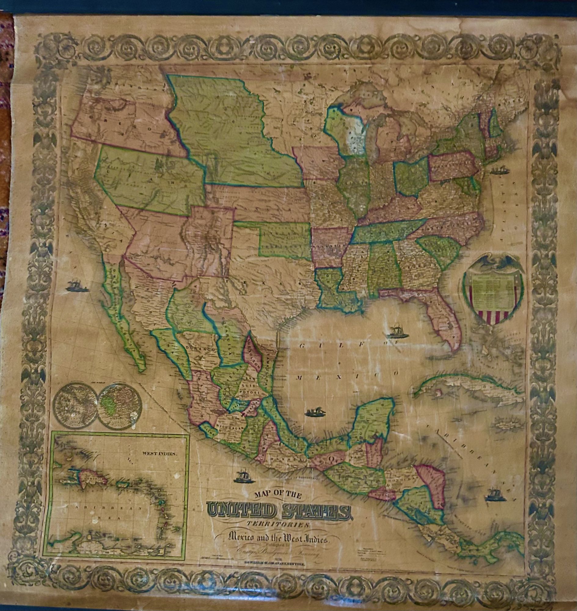
Map Of The United States And Its Territoiries: Also Mexico And The West Indies
- Linen
- New York: Thayer, Bridgeman & Fanning, 1856
New York: Thayer, Bridgeman & Fanning, 1856. Linen. Very good. 36 1/2 x 35 inches. Hand-colored engraved map laquered and linen backed. Margins frayed, some creasing and fading. Lower left corner portrays the West Indies with Population of the United States 1850 middle right. New York had three million plus residents. A review of Atwood's work suggests that he was a highly accomplished, stylistically distinct, and detail oriented engraver. Colton seems to have turned to Atwood to engrave some of his most important as well as decorative maps.
Details
Title
Map Of The United States And Its Territoiries: Also Mexico And The West Indies
Author
Atwood John M.
Binding
Linen
Condition
Very Good
Publisher
Thayer, Bridgeman & Fanning: New York
Date
1856