Map of the Central Group of the Maywood Colonies at Corning, Tehama County) Sacramento Valley) California
- Corning, Ca , 1937
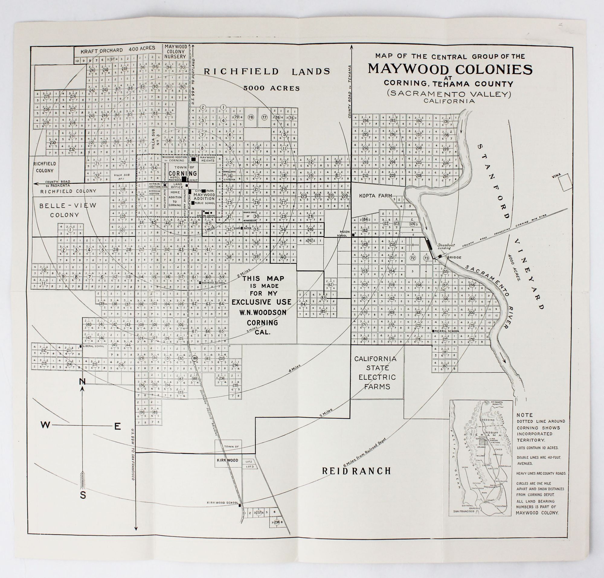
Corning, Ca, 1937. Very good.. Map, 13 x 14 inches. Text on verso. Old folds, minor wear. Later edition of this promotional map for the Maywood Colony near Corning, California. In the 1890s, real estaate entrepreneur Warren N. Woodson purchased the land that would become the Maywood Colony, which he plotted out and promoted. The present map shows the various land developments and plots surrounding the town of Corning bounded by the Sacramento River on the east. Text on the verso promotes the area as rich in resources and agriculture.
Details
Title
Map of the Central Group of the Maywood Colonies at Corning, Tehama County) Sacramento Valley) California
Author
[California]
Condition
Very Good
Publisher
Corning, Ca
Date
1937