World War II Germany Road Maps Lot of 35
- 1945
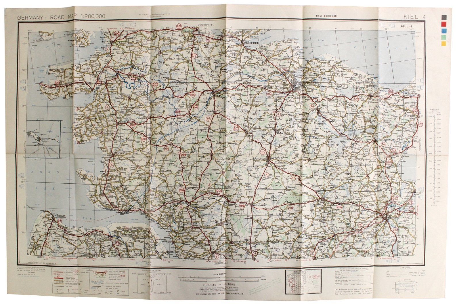
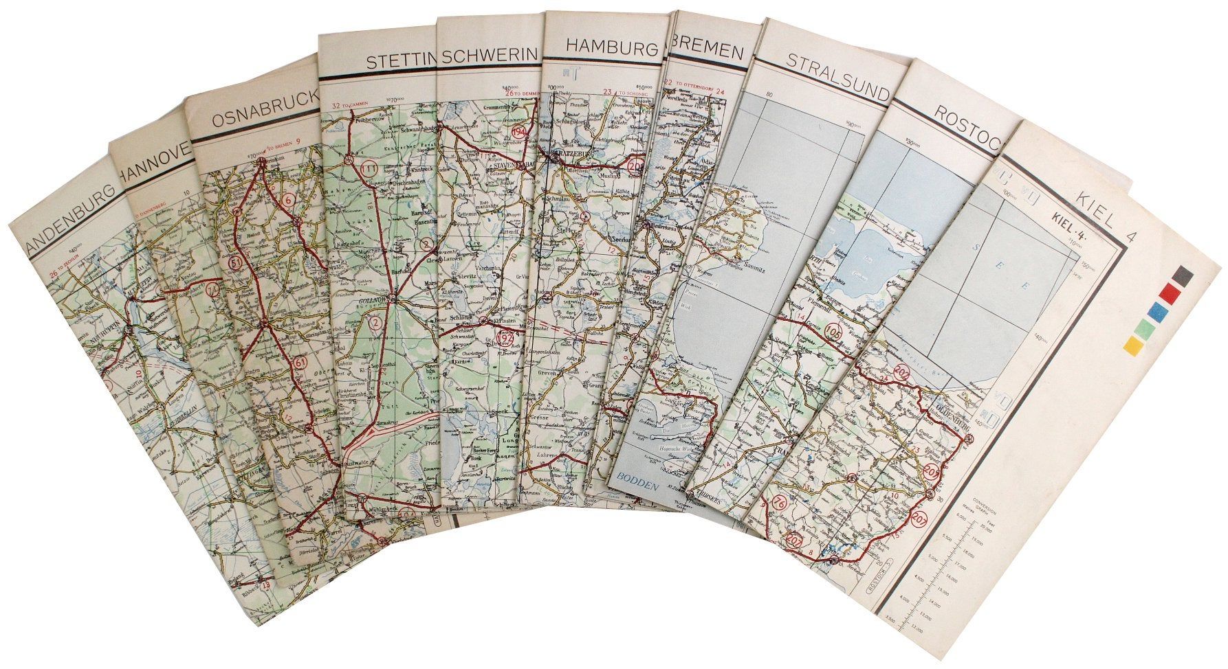
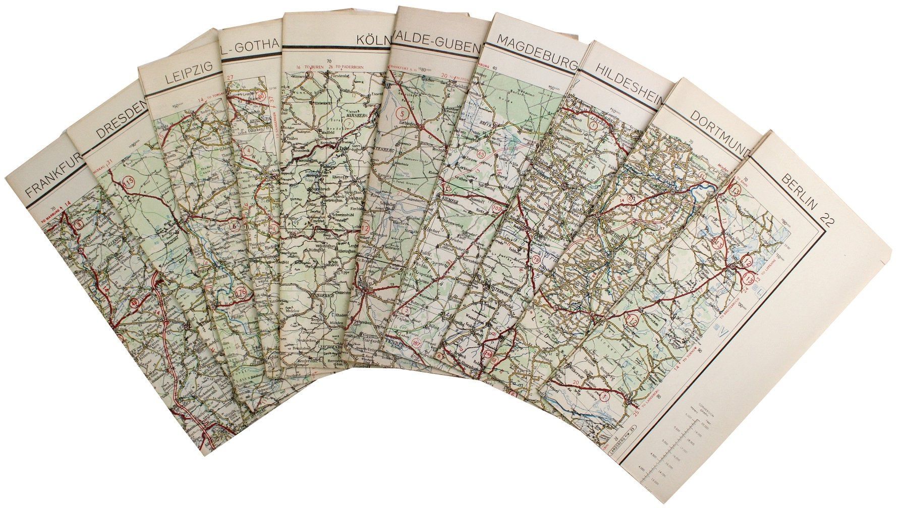
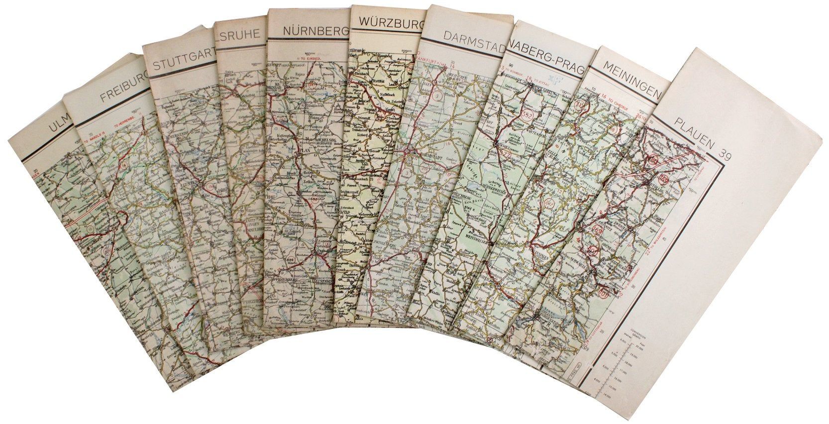
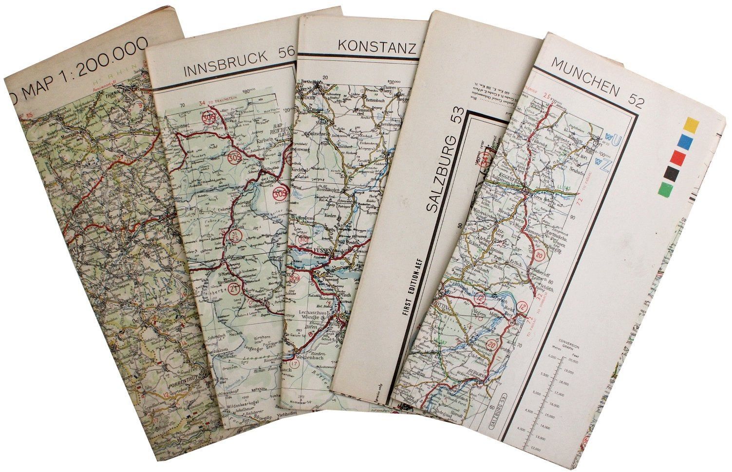
1945. Very good. This listing is for a total of 35 different maps – all but one are Germany, and the other is Switzerland. The maps are folded and were prepared under the Chief Engineer for the European Theater of Operations, United States Army (ETOUSA) during World War II in 1945. The maps are named as follows:
1. Kiel 4
2. Rostock 5
3. Stral Sund 6
4. Bremen 11
5. Hamburg 12
6. Schwerin 13
7. Stettin 14
8. Osnabruck 19
9. Hannover 20
10. Brandenburg 21
11. Berlin 22
12. Dortmund 25
13. Hildesheim 26
14. Magdeburg 27
15. Luckenwalde-Guben 28
16. Koln 30
17. Kassel-Gotha 31
18. Leipzig 32
19. Dresden 33
20. Frankfurt 37
21. Plauen 39
22. Meiningen 38
23. Annaberg-Prag 40
24. Darmstadt 43
25. Wurzburg 44
26. Nurnberg 45
27. Karlsruhe 47
28. Stuttgart 48
29. Freiburg 50
30. Ulm 51
31. Munchen 52
32. Salzburg 53
33. Konstanz 55
34. Innsbruck 56
35. Basel – St Gallen 21
The map pictured is 34 ” x 22½” and others are in various sizes.
Details
Title
World War II Germany Road Maps Lot of 35
Condition
Very Good
Date
1945