Nostrand's Map New York City
- New York
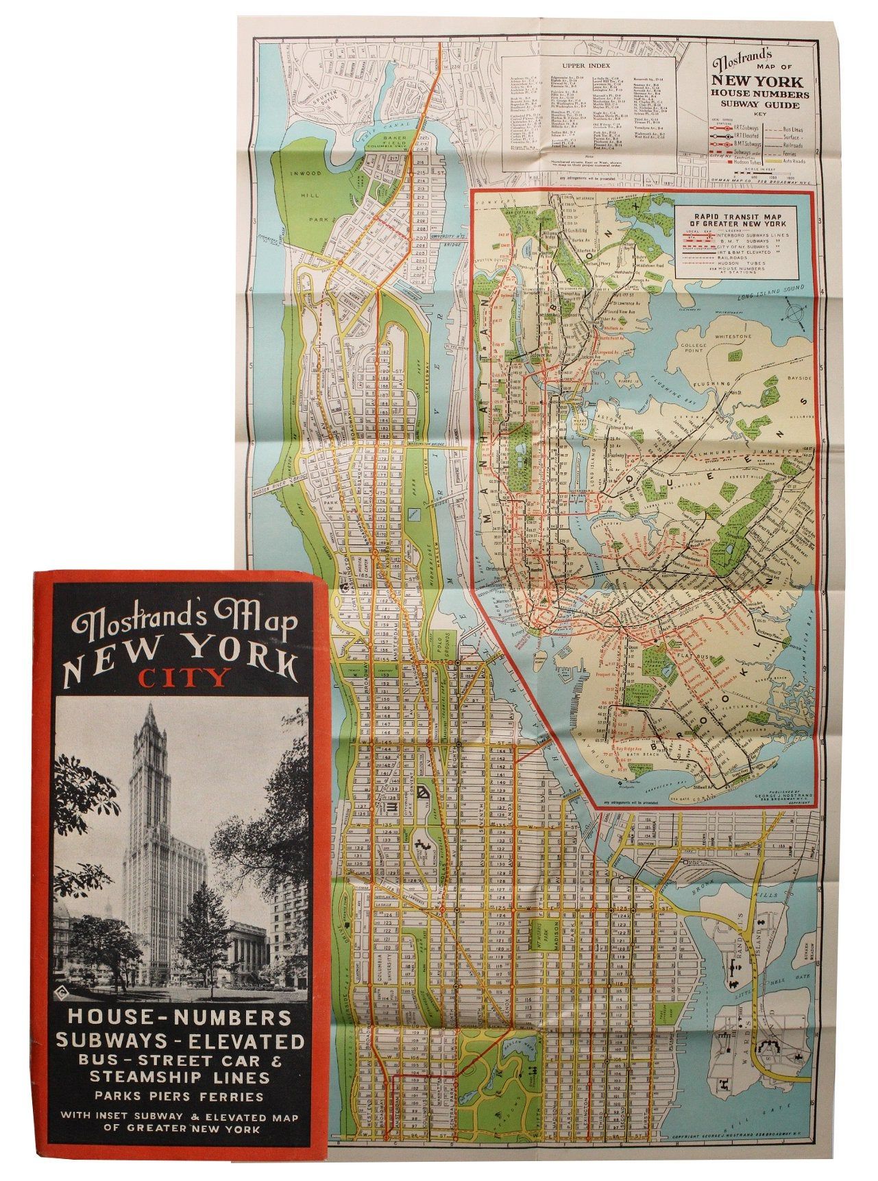
New York. Very good. This is a listing for Nostrand's Map of New York City, likely from the 1930s. The cover has a photo of New York and on the bottom are details that will be found on the map like house numbers, subways and parks. There is a map on each side of a sheet measuring approximately 31¾” x 16½”, folded into the booklet which measures 4¼” x 8½”.
Details
Title
Nostrand's Map New York City
Condition
Very Good
Publisher
New York