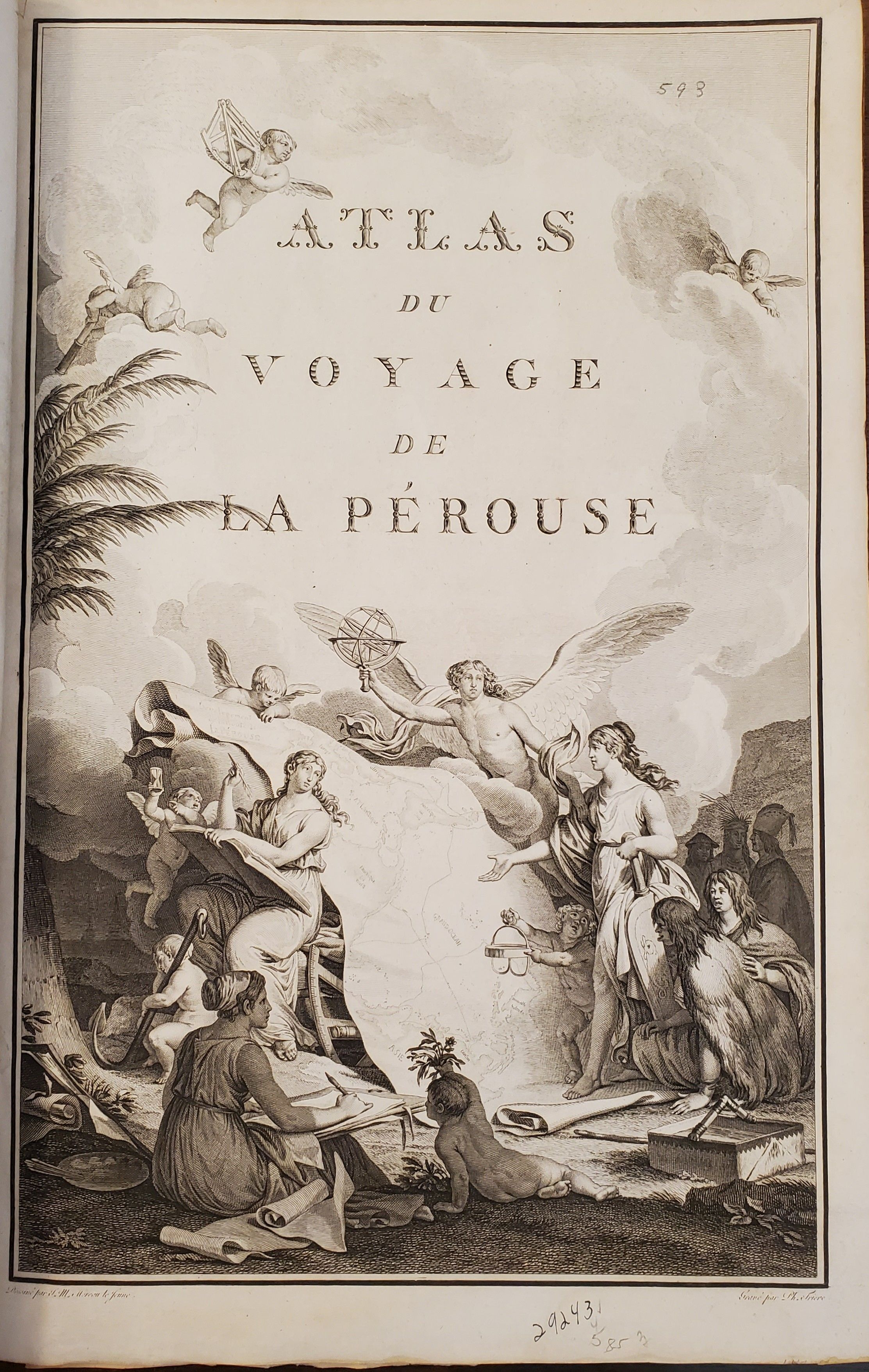
Atlas du Voyage de La Perouse
[ATLAS ONLY]

- Paris: [Imprimerie De La Republique], 1797
Atlas to the first edition of "Voyage de La Perouse"
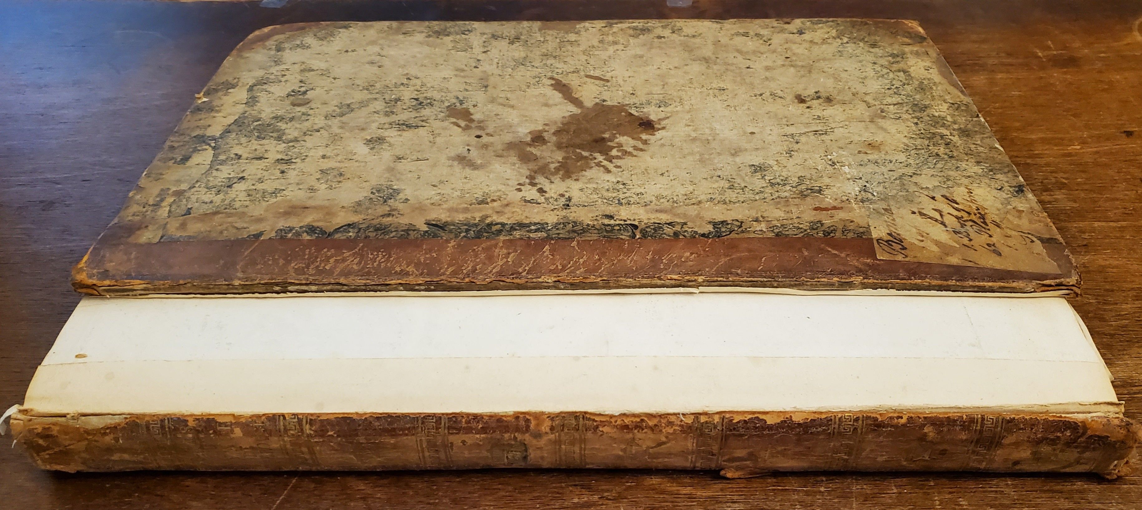
Folio. 17 ¼ x 11 ¼ inches.Frontis portrait, engraved title page, 69 engraved plates. Extra map from English edition.Contemporary binding of leather over marbled boards. Covers very worn, front cover completely detached, remnants of a hand-written label. Embossed stamp to corner of the title page. A few plates with minor discoloration in the gutter from old tape residue, but the plates generally clean, some trimmed a bit close. A good copy, collated complete and with maps and plates in generally fine condition.
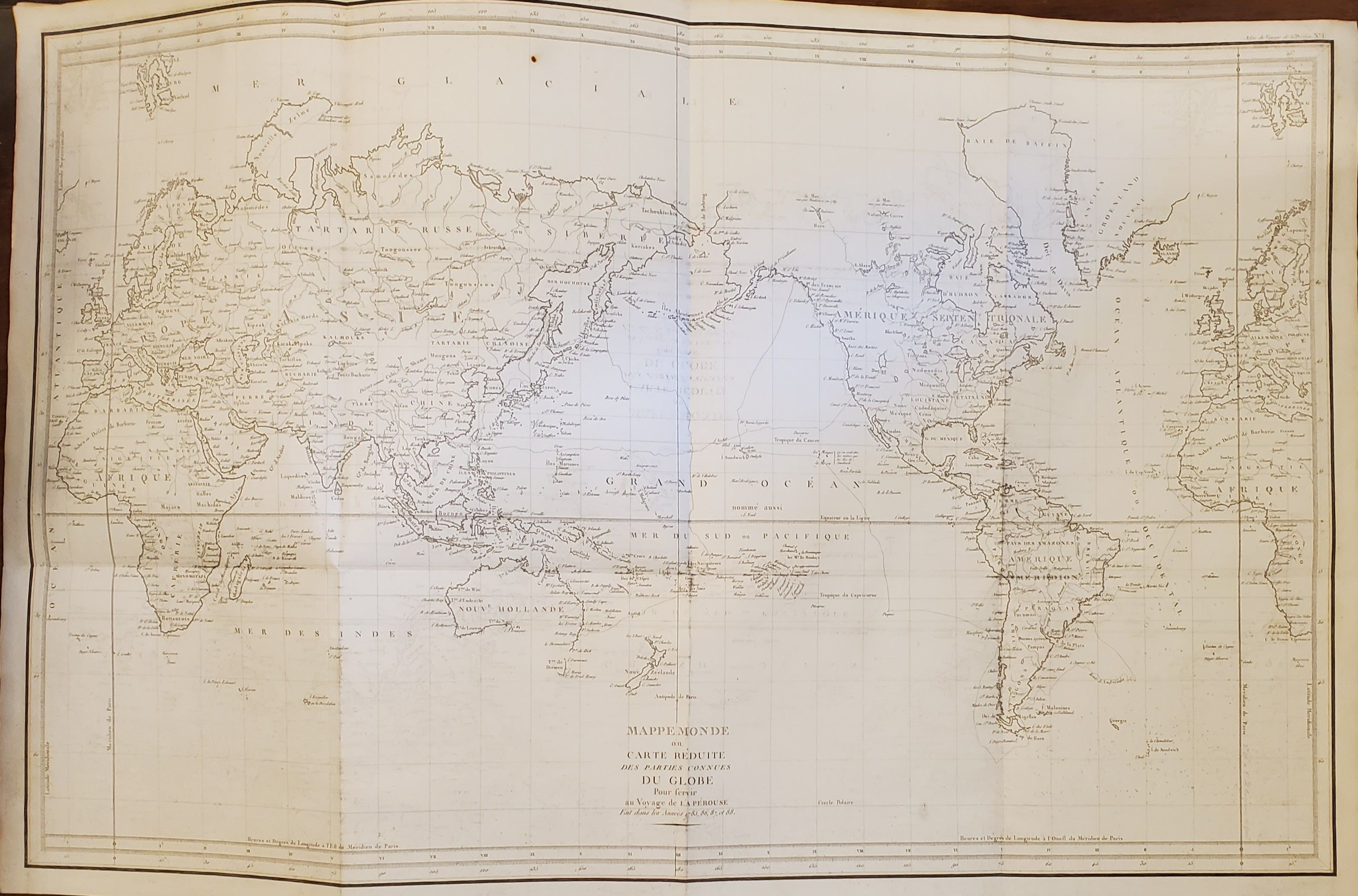
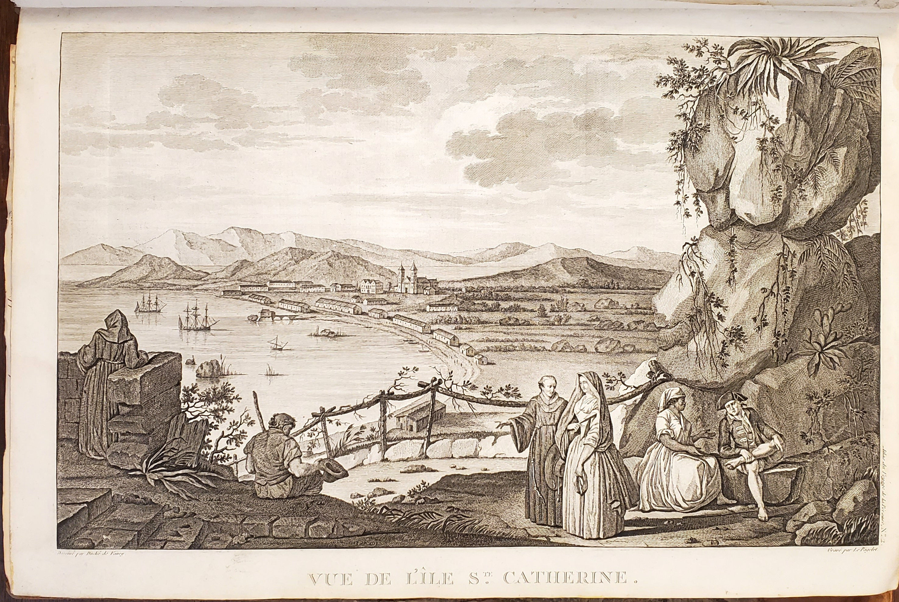
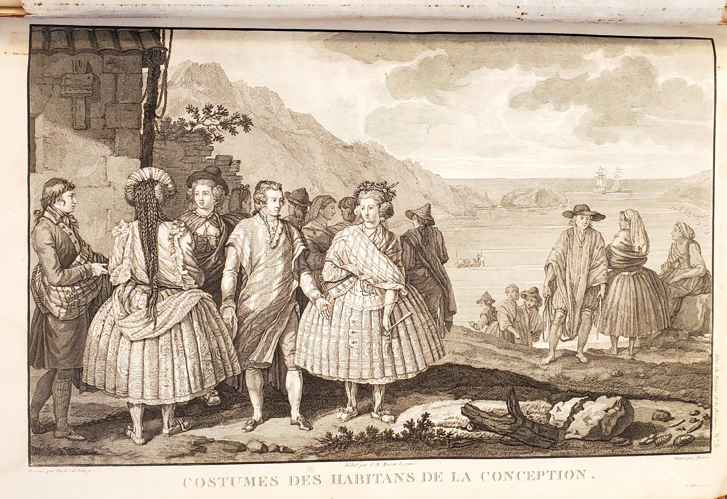
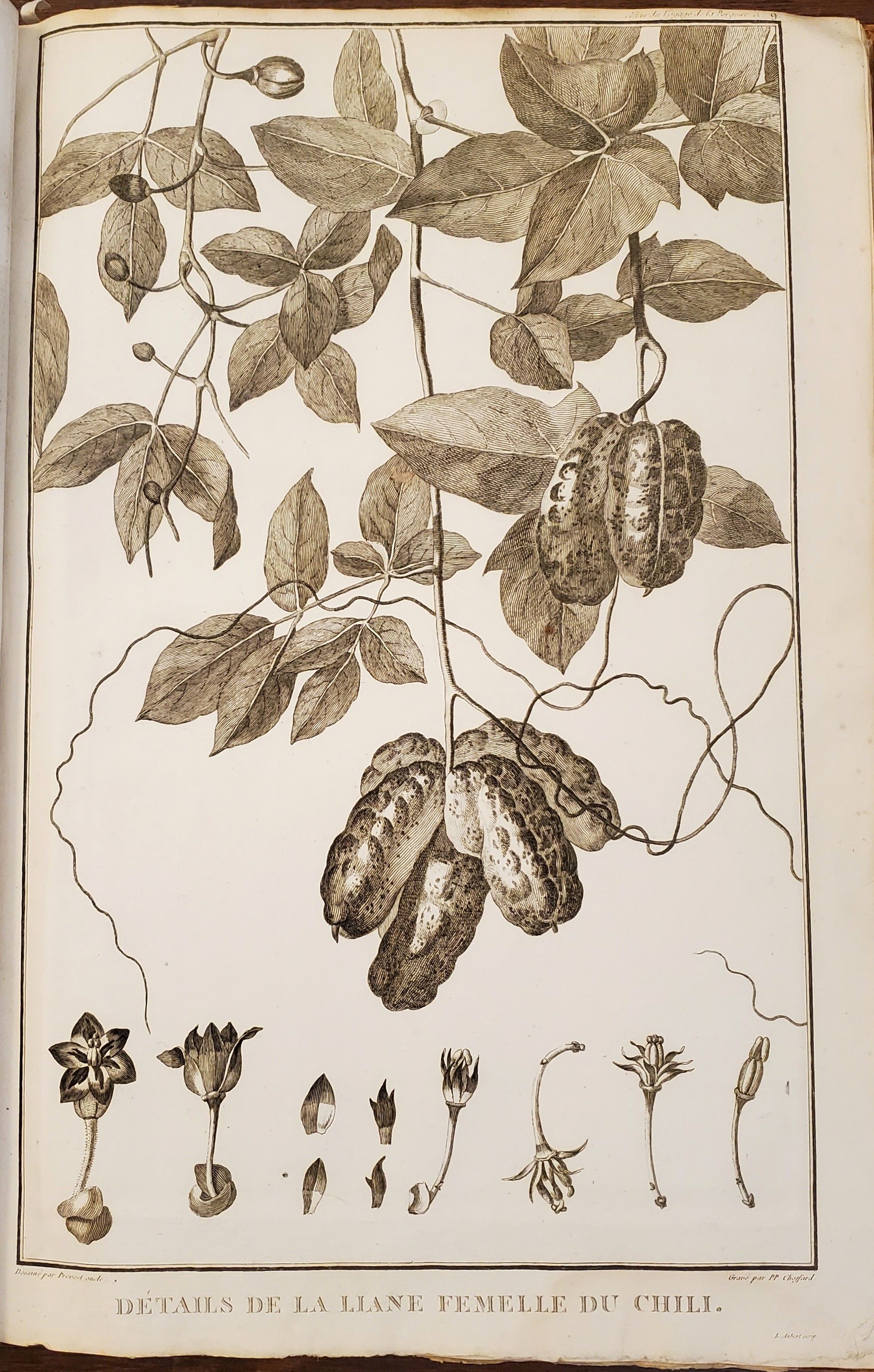
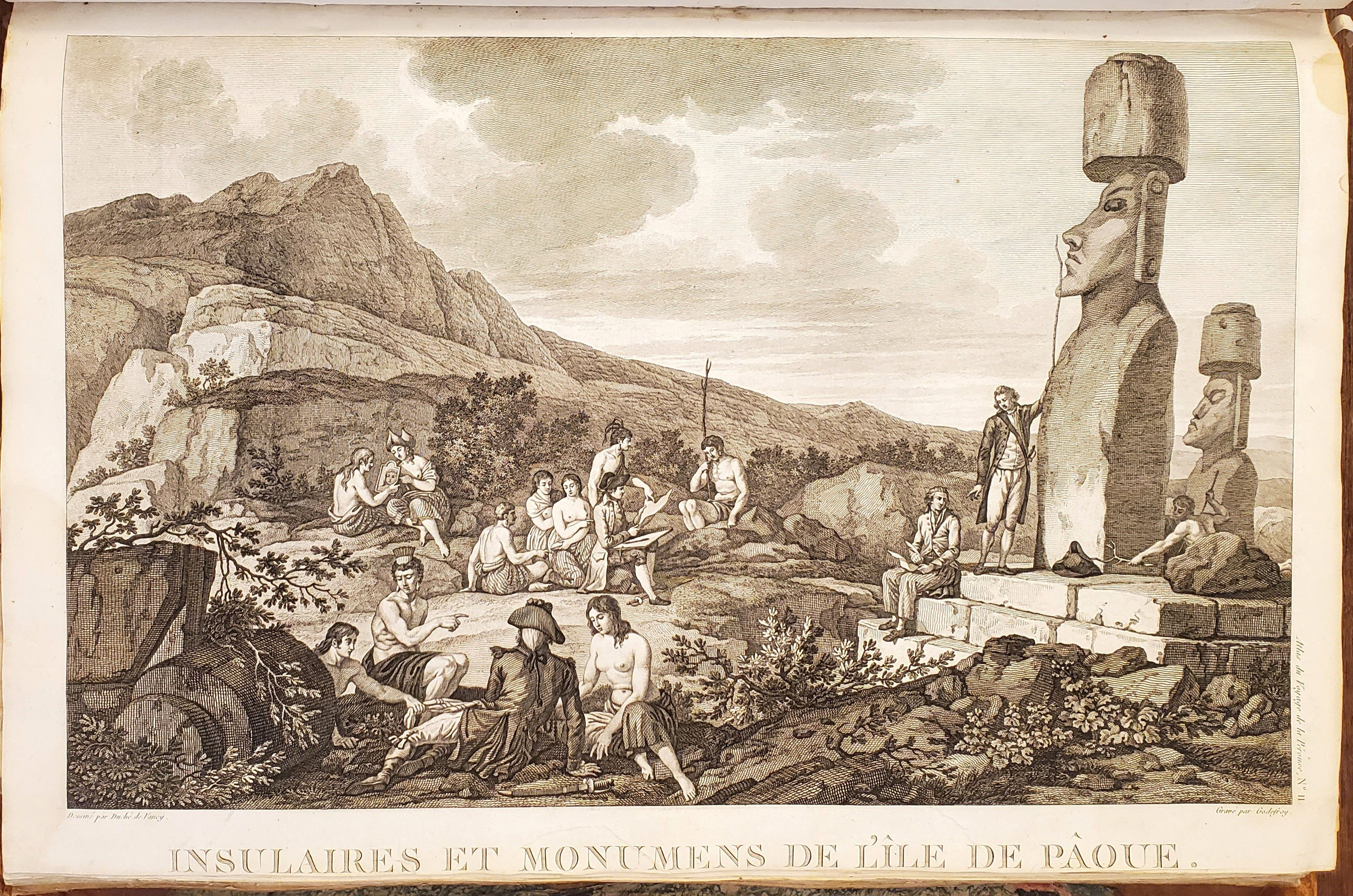
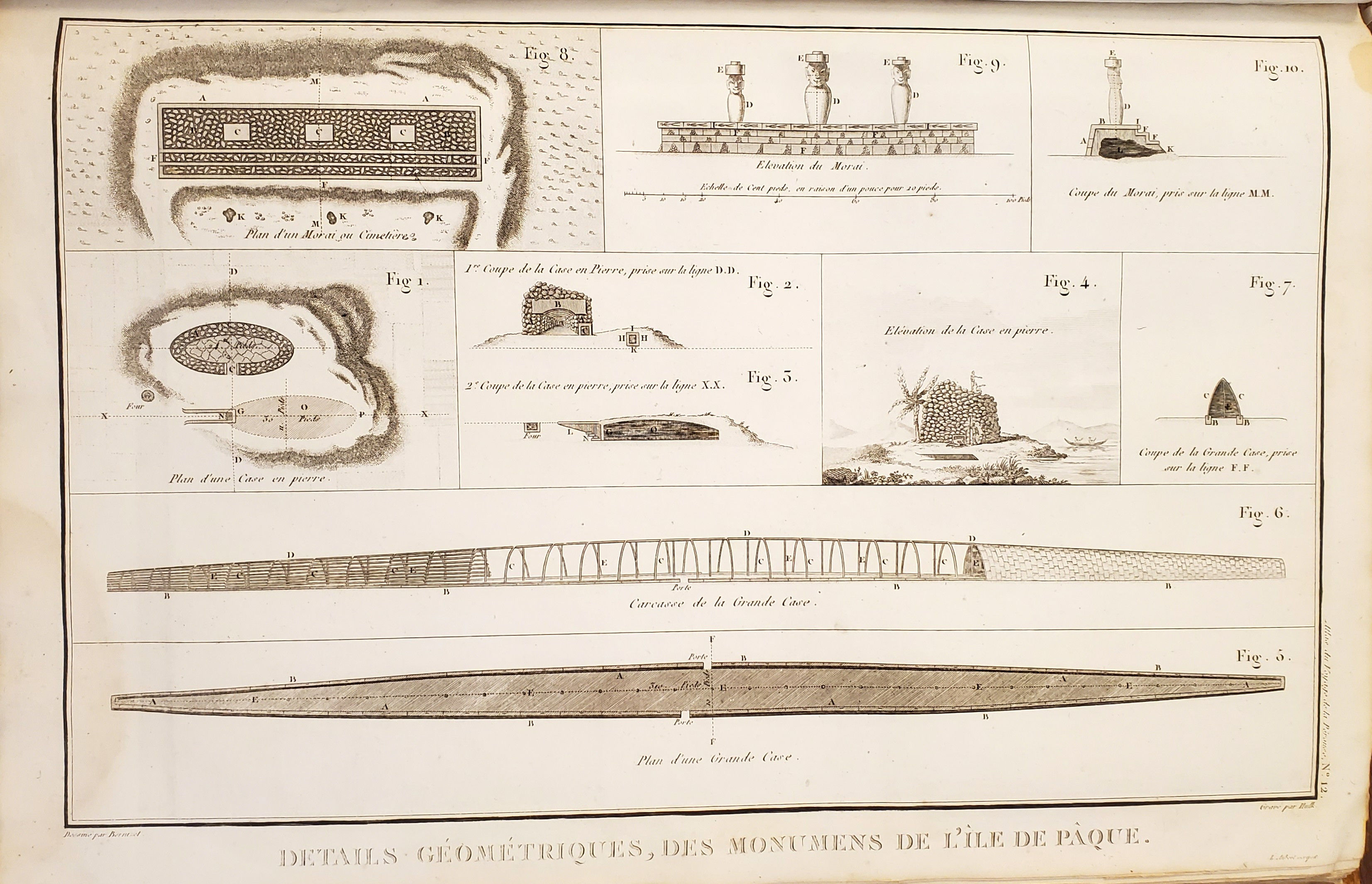
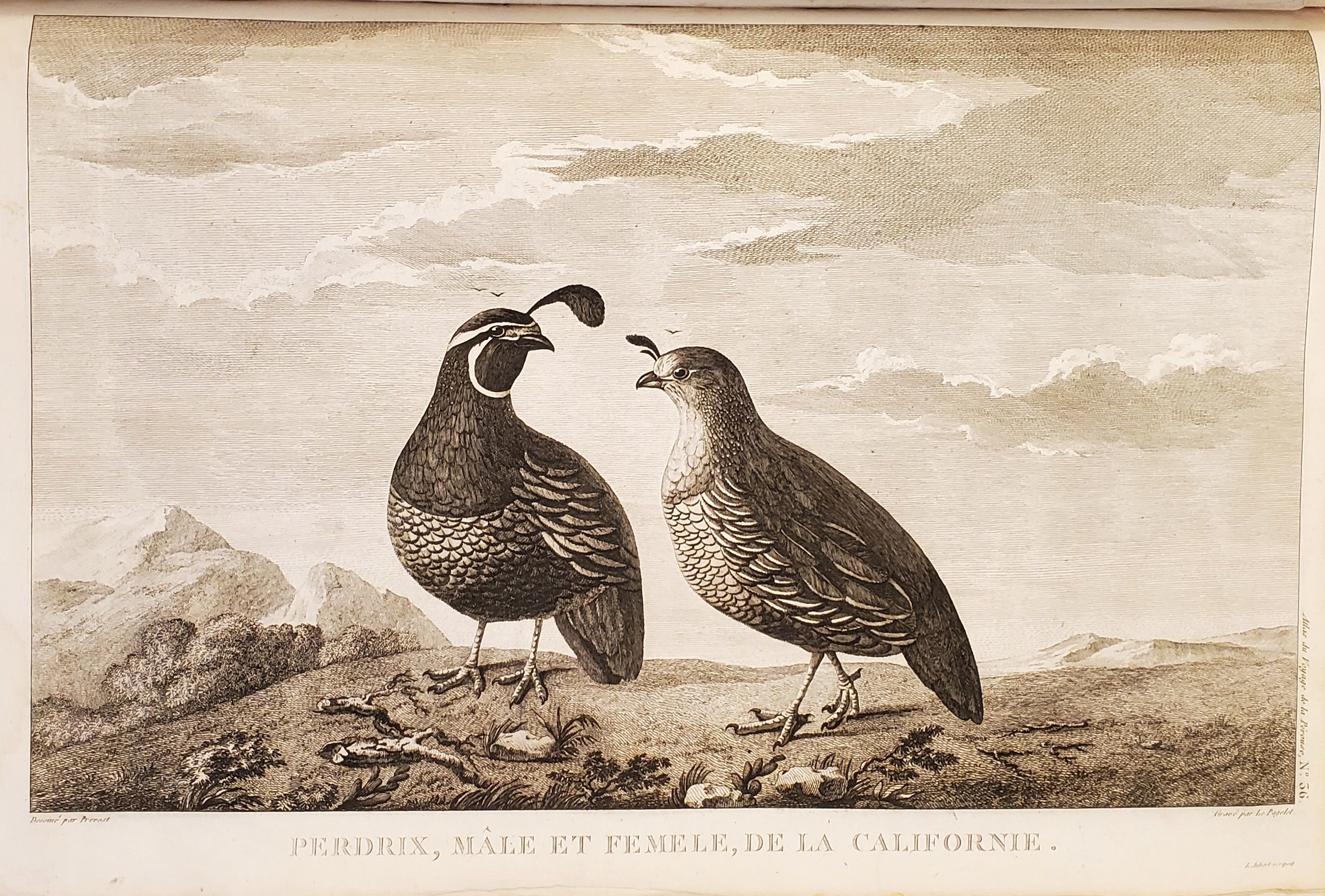
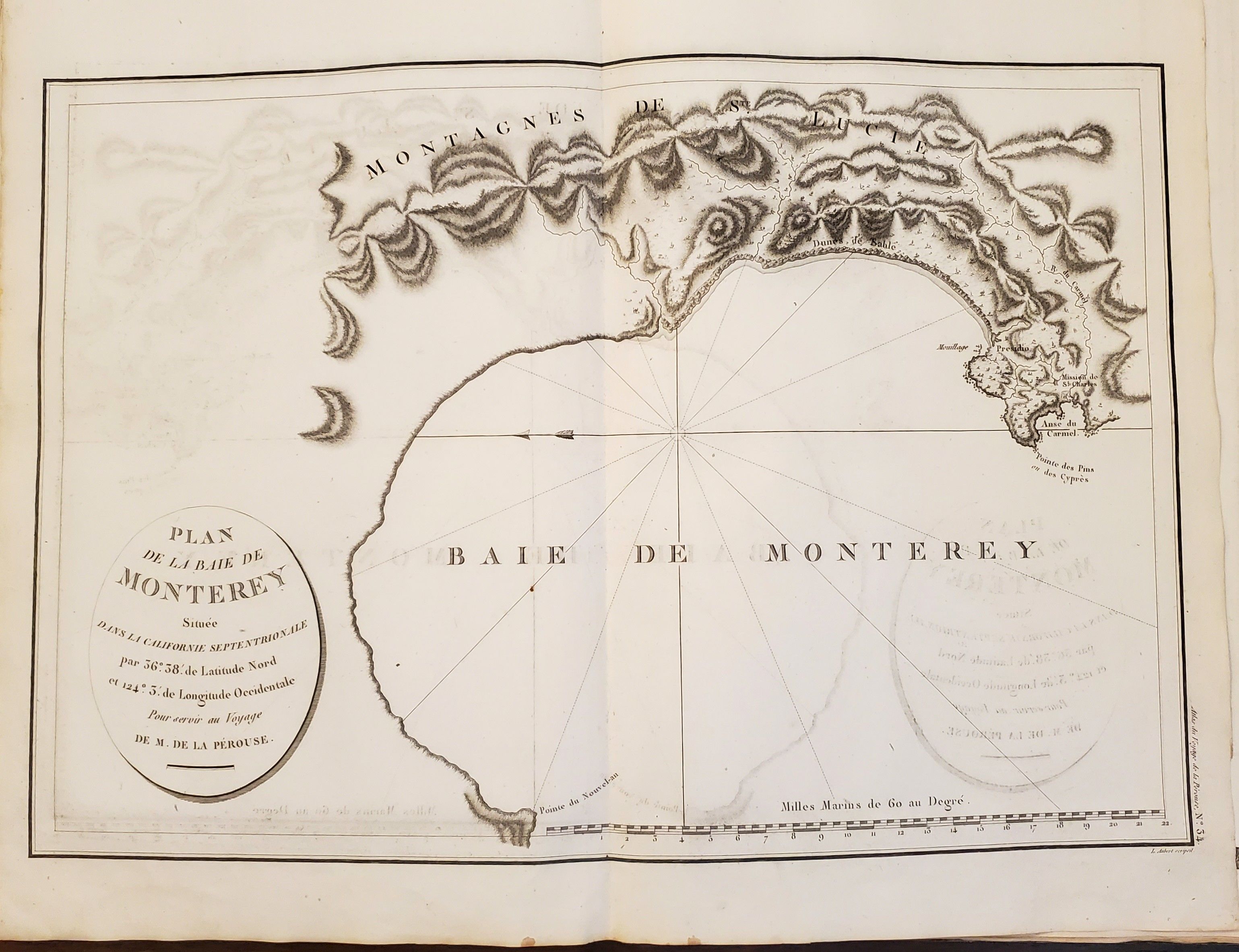
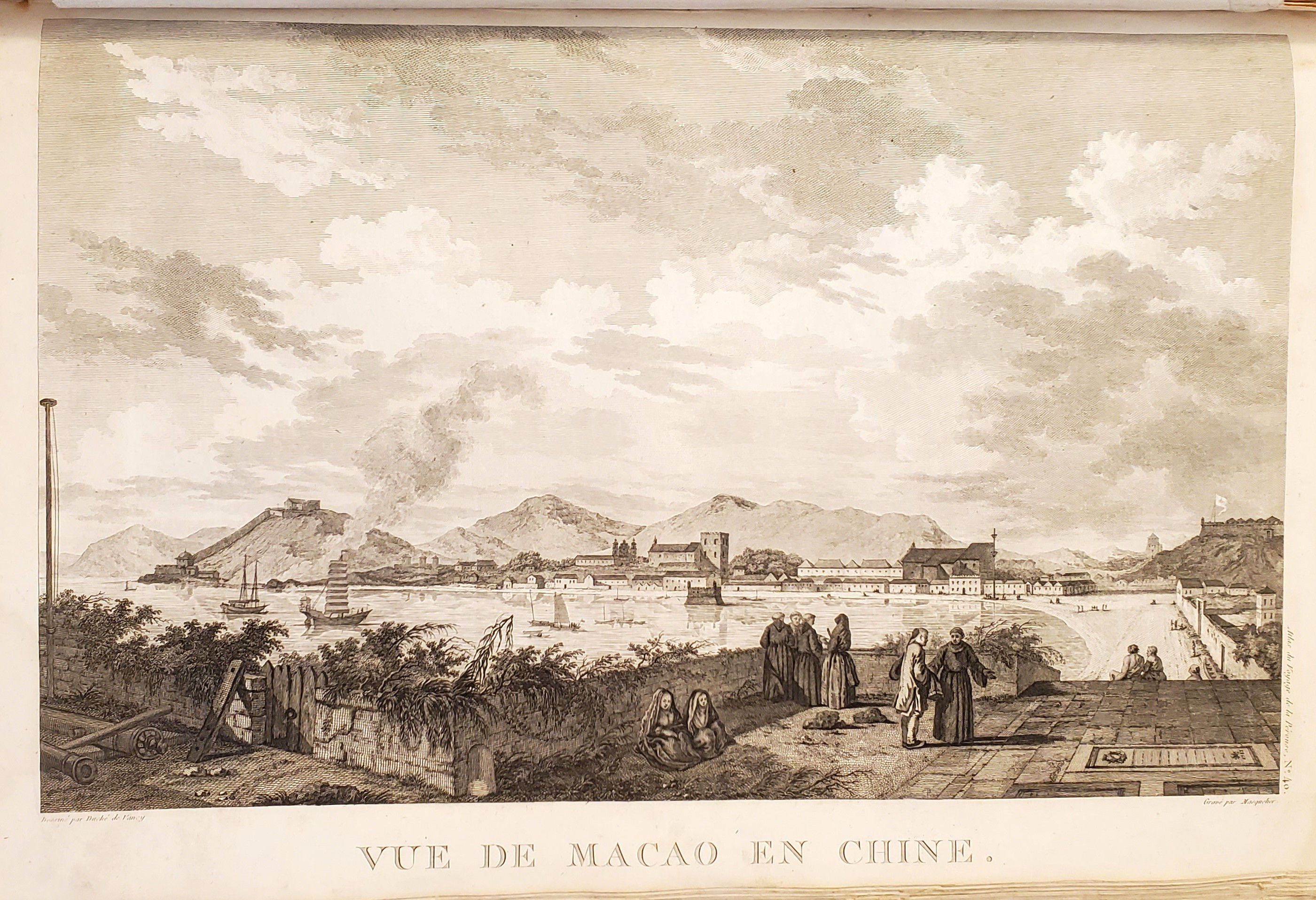
First edition. Atlas volume only. Bound into this copy is an additional map from the English version of the Atlas; Plate 3, "Chart of the Great Pacific Ocean" as well as a partial piece of the English Plate 4, "Plan of the Bay of Conception in Chili". La Perouse sailed to the Pacific and the west coast of North America to examine regions not explored by Cook; to seek the famous Northwest Passage; to obtain information about the fur trade and the Spanish settlements in California; to make scientific observations; and to promote French enterprise in the region. He made valuable contributions to the history of geographical discovery, particularly in regard to the American coast. He sent his dispatches from Kamchatka and Botany Bay. After leaving Botany Bay, his expedition disappeared and his ships' wrecks were not discovered for another 39 years on one of the Santa Cruz Islands.
Details
Title
Atlas du Voyage de La Perouse
Author
LA PÉROUSE, Jean François de Galaup
Condition
Good
Publisher
[Imprimerie De La Republique]: Paris
Date
1797