

Printed Maps of the District and State of Maine: 1793-1860: An Illustrated and Comparative Study
- Bangor, Maine: Nimue Books & Prints, 2010
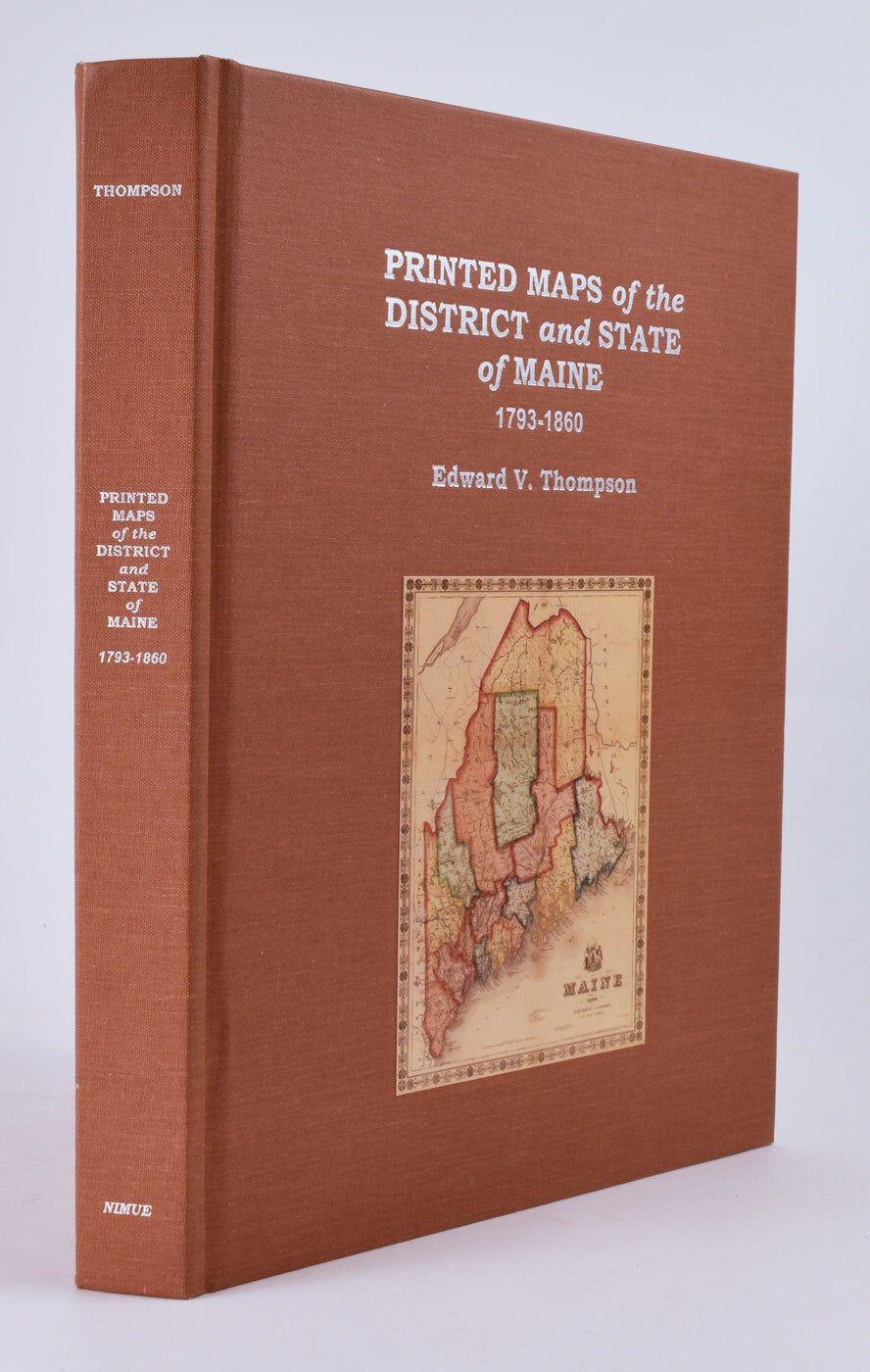
Bangor, Maine: Nimue Books & Prints, 2010. 4to, terra cotta cloth with silver title and illus,. of map on upper cover, silver lettering at spine. xii, 447, [2] pp., numerous mainly color illus. throughout. CONDITION: Fine, as new.
A comprehensive and authoritative carto-bibliography. “Professor Thompson’s Printed Maps of the District and State of Maine—the first true bibliography of maps of the state—provides a visual and historical feast for generalists and scholars alike.” —From the preface by Matthew Edney, Osher Professor in the History of Cartography, University of Southern Maine.
Details
Title
Printed Maps of the District and State of Maine: 1793-1860: An Illustrated and Comparative Study
Author
Thompson, Edward V.
Condition
Unknown
Publisher
Bangor, Maine: Nimue Books & Prints, 2010