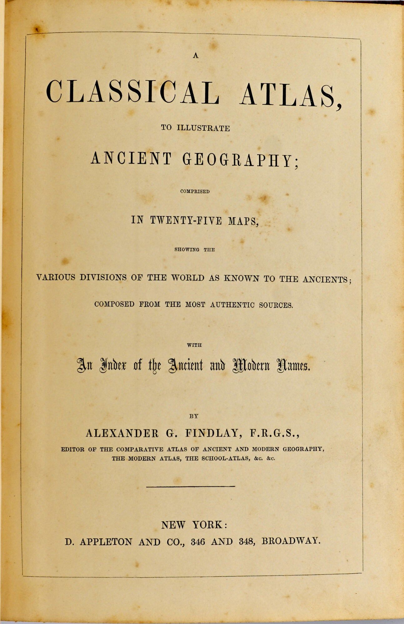
[MAPS] CLASSICAL ATLAS, TO ILLUSTRATE ANCIENT GEOGRAPHY; COMPRISED IN TWENTY-FIVE MAPS, SHOWING THE VARIOUS DIVISIONS OF THE WORLD AS KNOWN TO THE ANCIENTS ..
![[MAPS] CLASSICAL ATLAS, TO ILLUSTRATE ANCIENT GEOG](https://d3525k1ryd2155.cloudfront.net/h/431/483/1768483431.0.x.jpg)
- New York: D. Appleton and Company, 1840
New York: D. Appleton and Company, 1840. Very Good binding. The edition issued by D. Appleton and Company; with 25 maps, most of which are colored in outline. With an additional uncolored folding plate in the Introduction: "Central Italy, with the adjacent countries from the Peutingerian Tables, constructed about A.D. 393". Half-calf over marbled boards, with the attractive printed title pastedown to the front board. Previous owner name, "Lewis Carter Randolph" dated in his hand 1855. There is minor loss to bottom of the spine. Very Good binding.
Details
Title
[MAPS] CLASSICAL ATLAS, TO ILLUSTRATE ANCIENT GEOGRAPHY; COMPRISED IN TWENTY-FIVE MAPS, SHOWING THE VARIOUS DIVISIONS OF THE WORLD AS KNOWN TO THE ANCIENTS ..
Author
Alexander G. Findlay
Condition
Very Good
Publisher
D. Appleton and Company: New York
Date
1840