

MITCHELL'S TRAVELLERS GUIDE THROUGH THE UNITED STATES. A MAP OF THE ROADS, DISTANCES, STEAM BOAT & CANAL ROUTES &c.
- Philadelphia: S. Augustus Mitchell, , 1835.
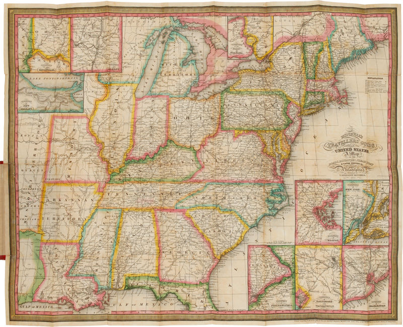
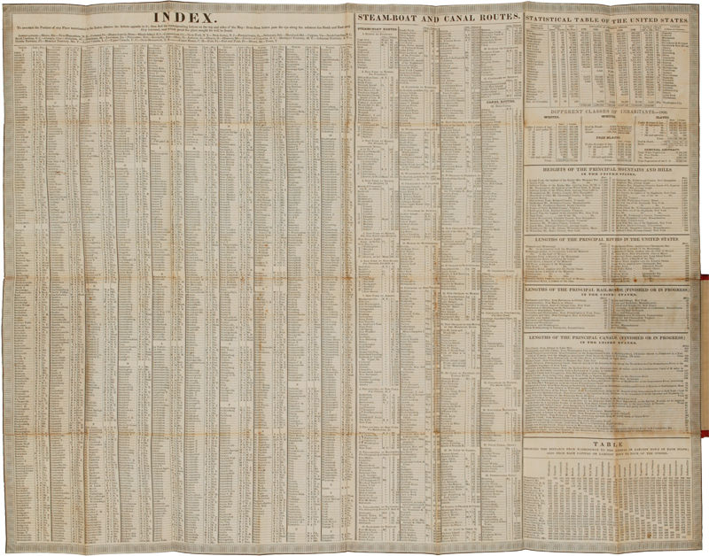
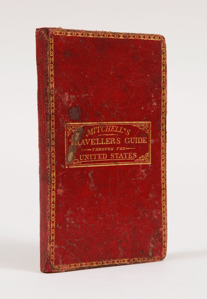
Philadelphia: S. Augustus Mitchell,, 1835.. Mitchell's Travellers Guide, with Handcolored Map The map, with the borders of the states brightly colored, shows the Northeast, west to Missouri Territory, and part of Mexico, including the Great Lakes region, and south through part of Florida. Insets show the vicinities of Niagara, New Orleans, Cincinnati, Albany, New York, Baltimore and Washington, Philadelphia, Charleston, and Boston. The large folding chart includes an index, steamboat and canal routes, and various statistics. According to Howes, this is the third instance of the separate issuing of the map, which first appeared in 1832 and then in 1834 with text as The Principal Stage, Steamboat, and Canal Routes in the United States.... An uncommon pocket map and guide to Jacksonian America. 16mo. Original red morocco, tooled and titled in gilt. Boards rubbed, repaired at spine ends. Expert repairs on the verso of the map and the "Index" sheet. Very good. HOWES M690. AMERICAN IMPRINTS 33098.
Details
Title
MITCHELL'S TRAVELLERS GUIDE THROUGH THE UNITED STATES. A MAP OF THE ROADS, DISTANCES, STEAM BOAT & CANAL ROUTES &c.
Author
Young, J.H.: [Mitchell, S. Augustus]:
Condition
Unknown
Publisher
Philadelphia: S. Augustus Mitchell,
Date
1835.