unbound
1822 · Philadelphia
by CAREY & LEA
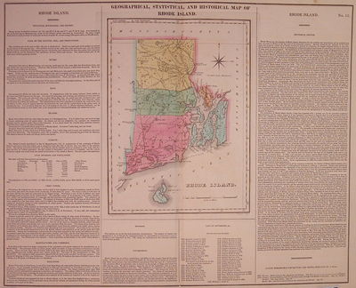
Philadelphia: Carey & Lea, 1822. unbound. very good(+). Map. Engraving with original hand coloring. Image measures 16.5" x 20.25". Page measures 17.5" x 21.75".
Great double page map of Rhode Island divided into counties. Shows towns, major routes and waterways. Includes information pertaining to history, climate and culture. Light scattered foxing to margins, and slight toning along centerfold. From "A Complete Historical, Chronological, and Geographical American Atlas..." of 1822.
The Philadelphia-based firm of Carey & Lea of Philadelphia was one of the most important publishers in the early 19th-century United States. (truncated)


