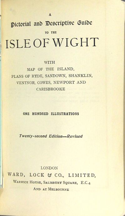
A pictorial and descriptive guide to the Isle of Wight with map of the island, plans of Ryde, Sandown, Shanklin, Ventnor, Cowes, Newport and Carisbrooke. One hundred illustrations. Twenty-second edition, revised
- London: Ward, Lock & Co., n.d., 1930
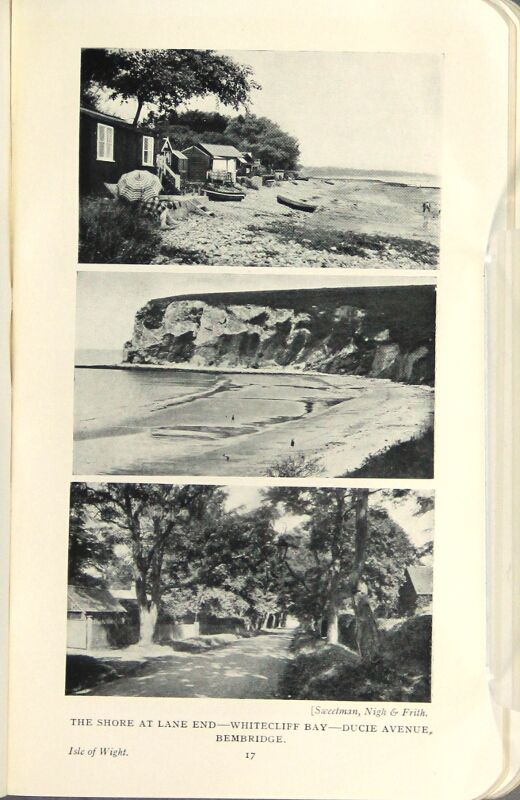
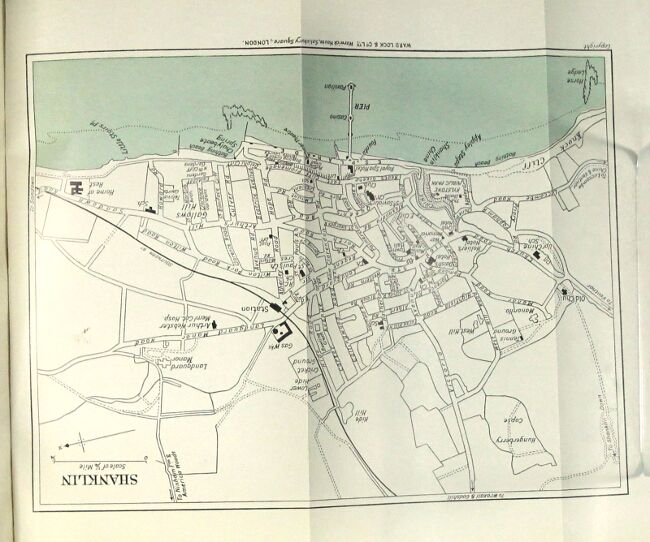
London: Ward, Lock & Co., n.d., 1930. 12mo, pp. xvi (ads), xv, [1] ads, 184, 64 (ads); ads on endpapers, folding map printed in 2 colors, 6 (5 folding and printed in 2 colors), 5 sketch maps, and numerous plates from photographs; a very good copy in original pictorial limp red cloth printed in black. Many citations in OCLC for the Ward, Lock guides, but not that for the Isle of Wight.
Details
Title
A pictorial and descriptive guide to the Isle of Wight with map of the island, plans of Ryde, Sandown, Shanklin, Ventnor, Cowes, Newport and Carisbrooke. One hundred illustrations. Twenty-second edition, revised
Condition
Unknown
Publisher
Ward, Lock & Co., n.d.: London
Date
1930