

The Great Valleys and Prairies of Nebraska and the Northwest
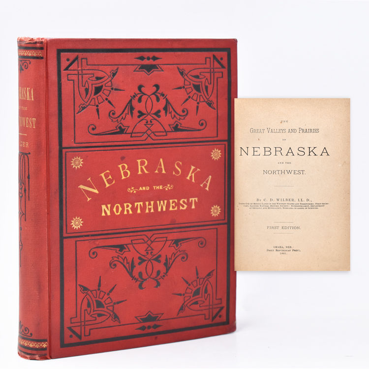
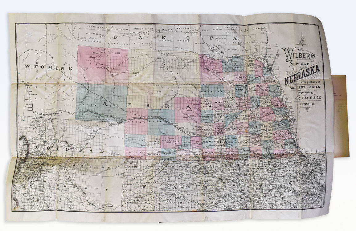
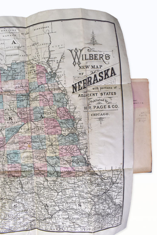
- Illustrated. Large hand-colored folding map of Nebraska, showing portions of the surrounding states of Wyoming, S. Dakota, Kansa
- Omaha, Neb: Daily Republican Print, 1881
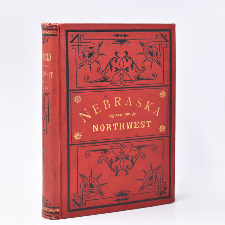
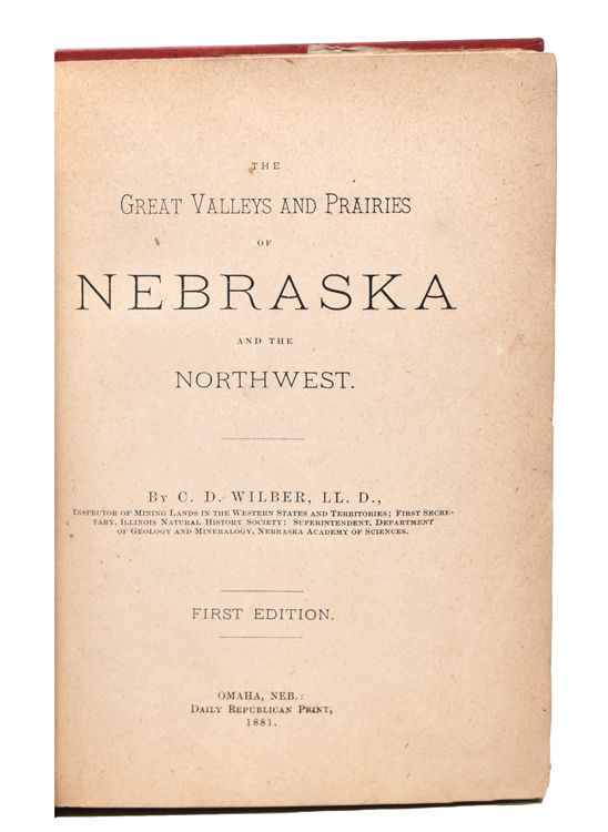
Omaha, Neb: Daily Republican Print, 1881. First Edition. Illustrated. Large hand-colored folding map of Nebraska, showing portions of the surrounding states of Wyoming, S. Dakota, Kansas and Colorado. 1 vols. 8vo. Original decorated red cloth, stamped in black and gilt. Tipped-in is a printed presentation slip reading: "Compliments of Leavitt Burnham. Land Commissioner U. P. Ry." Very minor rubbing, hinges cracking. Map artfully repaired with linen. With ink stamp of former owner. First Edition. Illustrated. Large hand-colored folding map of Nebraska, showing portions of the surrounding states of Wyoming, S. Dakota, Kansas and Colorado. 1 vols. 8vo. The author proclaims that this book was published to accomplish two purposes: "First, to assure those who have already begun their homes in the region beyond the Missouri River, that its natural resources and attractions are second to none in the Middle and Eastern States; and, second, to convince those especially who are seeking homes and farms, or business and health, of the substantial facts that should determine a good investment." The book describes the areas of Nebraska, Wyoming, Dakota, Kansas and Colorado, and in detail discusses and illustrates various Yellowstone National Park geysers, including the Grand, Giantess and Fan Geysers, as well as Mammoth Hot Springs, beginning at page 222. Howes W408
Details
Title
The Great Valleys and Prairies of Nebraska and the Northwest
Author
(Yellowstone National Park) Wilber, C. D.
Binding
Illustrated. Large hand-colored folding map of Nebraska, showing portions of the surrounding states of Wyoming, S. Dakota, Kansa
Condition
Unknown
Publisher
Daily Republican Print: Omaha, Neb
Date
1881
Edition
First Edition