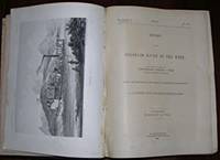
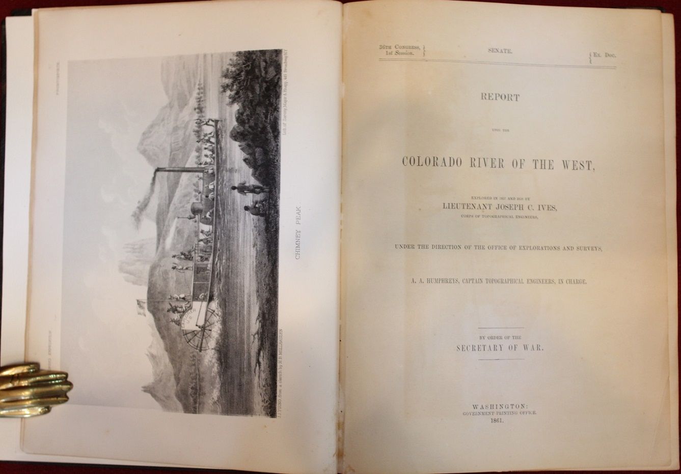
Report Upon the Colorado River of the West, Explored in 1857 and 1858 by Lieutenant Joseph C. Ives, Corps of Topographical Engineers, Under the Direction of the Office of Explorations and Surveys, A.A. Humphreys. Captain Topographical Engineers, in Charge

- Washington, DC: Government Printing Office, 1861
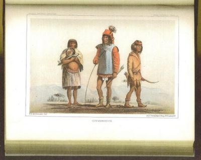
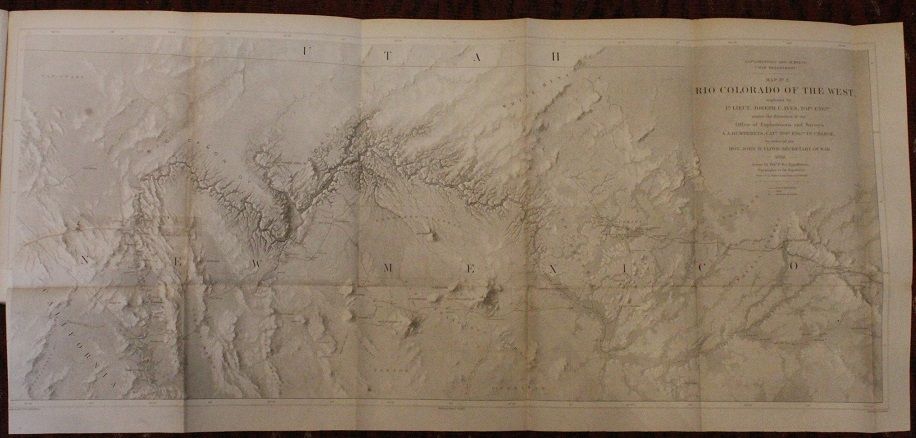
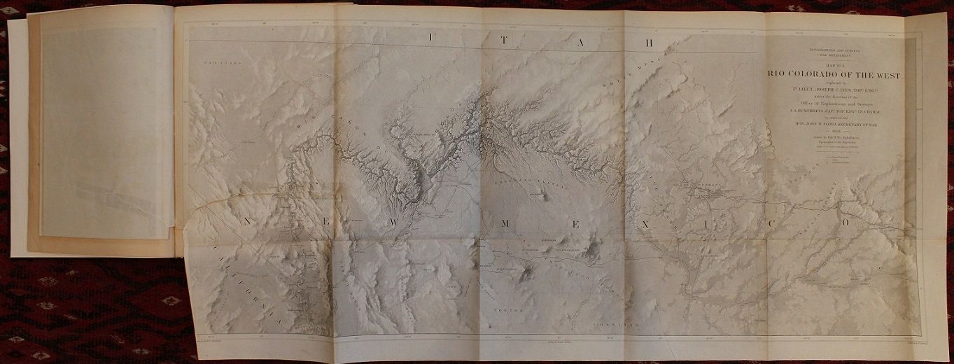
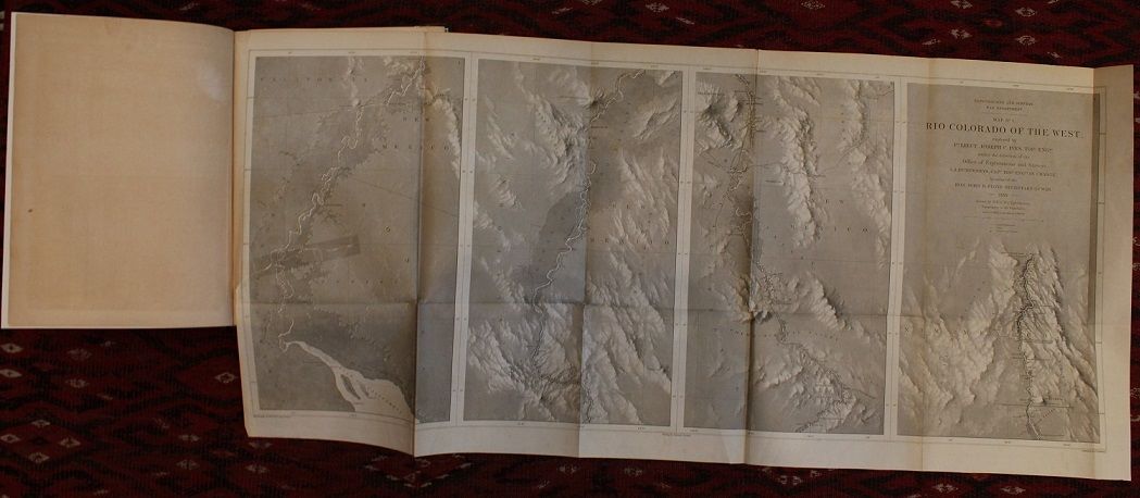
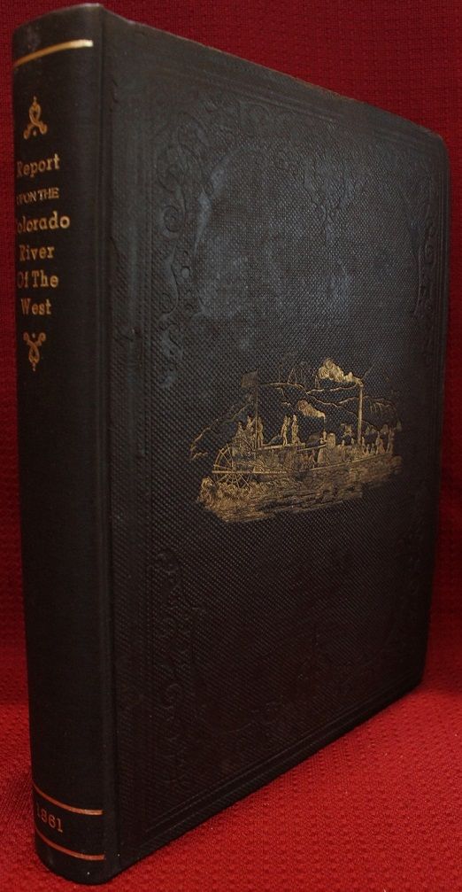
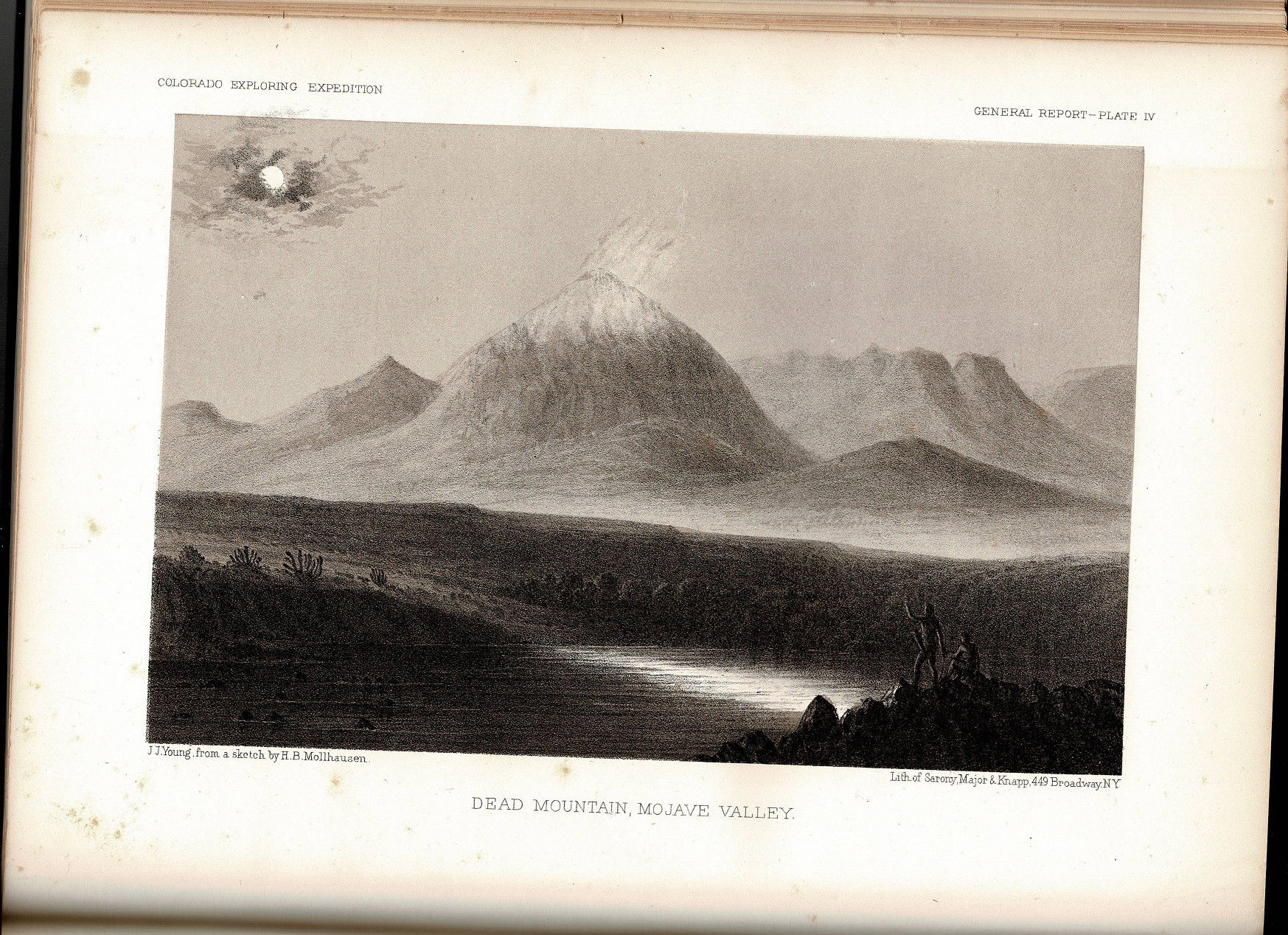
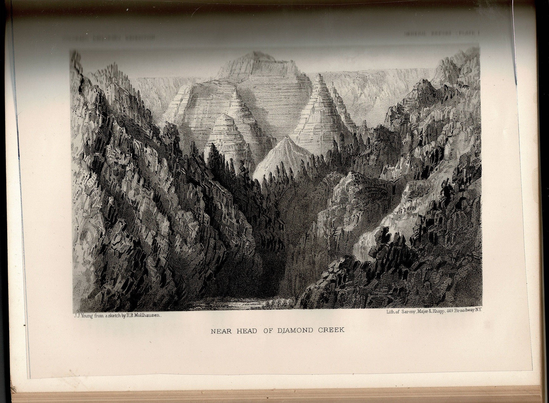
Part I "General Report": 131 pages with the 2 large folding maps, profile of area, 12 engraved plates, including frontispiece, (one, "Interior of Moquise House", being colored), 7 colored chromolithic plates titled "Indian Portraits", 8 folding panoramas, and 41 wood cut illustrations in the text; Part II "Hydrographic Report: 14 pages; Part III " Geological Report": 154 pages with 3 plates, 3 lithographic plates, 27 wood cut illustrations in text, tables, 2 maps; Part IV "Botany": 30 pages; Part V "Zoology": 6 pages; and Appendices 32 pages. Quarto (ll 3/4" x 9") 36th Congress, 1st Session, Senate EX Document. Original gilt pictorial blind stamped cloth with gilt lettering to spine. ((Howes 194) First edition.
Ives was born in New York City in 1828 and was a graduate of the United States Military Academy in 1852. As a Lieutenant from 1853 to 1854 he was appointed by the U.S. Army to the Topographical Engineers as assistant to Lt. A.W. Whipple in the Pacific Railroad survey along the 35th parallel. From 1857 to 1858 Ives commanded an expedition to explore up the Colorado River from its mouth. At Robinson's Landing he built then used the 54 foot paddlewheel steamboat Explorer to map and survey the river. His party included Smithsonian associate John Strong Newberry as geologist. He led his party up the Colorado to the lower end of the Grand Canyon, then struck out across the desert to Fort Defiance in Colorado. Ives Reported his findings in his 1861 Report upon the Colorado river of the West. The Ives expedition produced one of the important early maps of the Grand Canyon drawn by F. W. v. Egloffstein, topographer to the expedition. Ives next served as engineer and architect for the Washington National Monument from 1859 to 1860. During the American Civil War he joined the Confederate Army and served in several engineering capacities, and was finally appointed aide-de-camp to President Jefferson Davis from 1863 to 1865. After the war he settled in New York City where he died November 12, 1868
Condition:
New spine and paste downs, large frontispiece maps with tears from gutter to first fold about six inches with tape repair else a very good copy.
Details
Title
Report Upon the Colorado River of the West, Explored in 1857 and 1858 by Lieutenant Joseph C. Ives, Corps of Topographical Engineers, Under the Direction of the Office of Explorations and Surveys, A.A. Humphreys. Captain Topographical Engineers, in Charge
Author
Joseph Christmas Ives (1828 1868)
Condition
Very Good
Publisher
Government Printing Office: Washington, DC
Date
1861
Edition
First
Size
Quarto
Pages
Part I "General Report": 131 pages with the 2 large folding maps, profile of area, 12 engraved plates, including frontispiece, (