Map of Louisiana
- Chicago, (IL): Rand McNally [for] Southern Pacific Lines, 1926
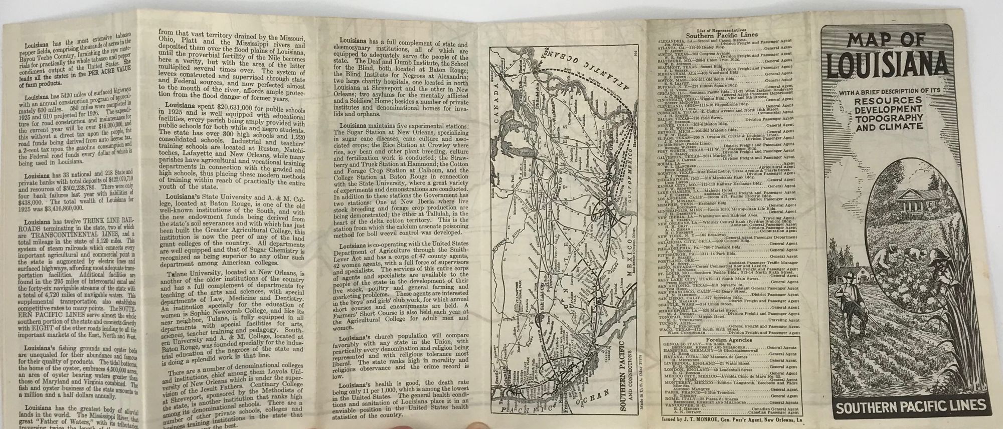
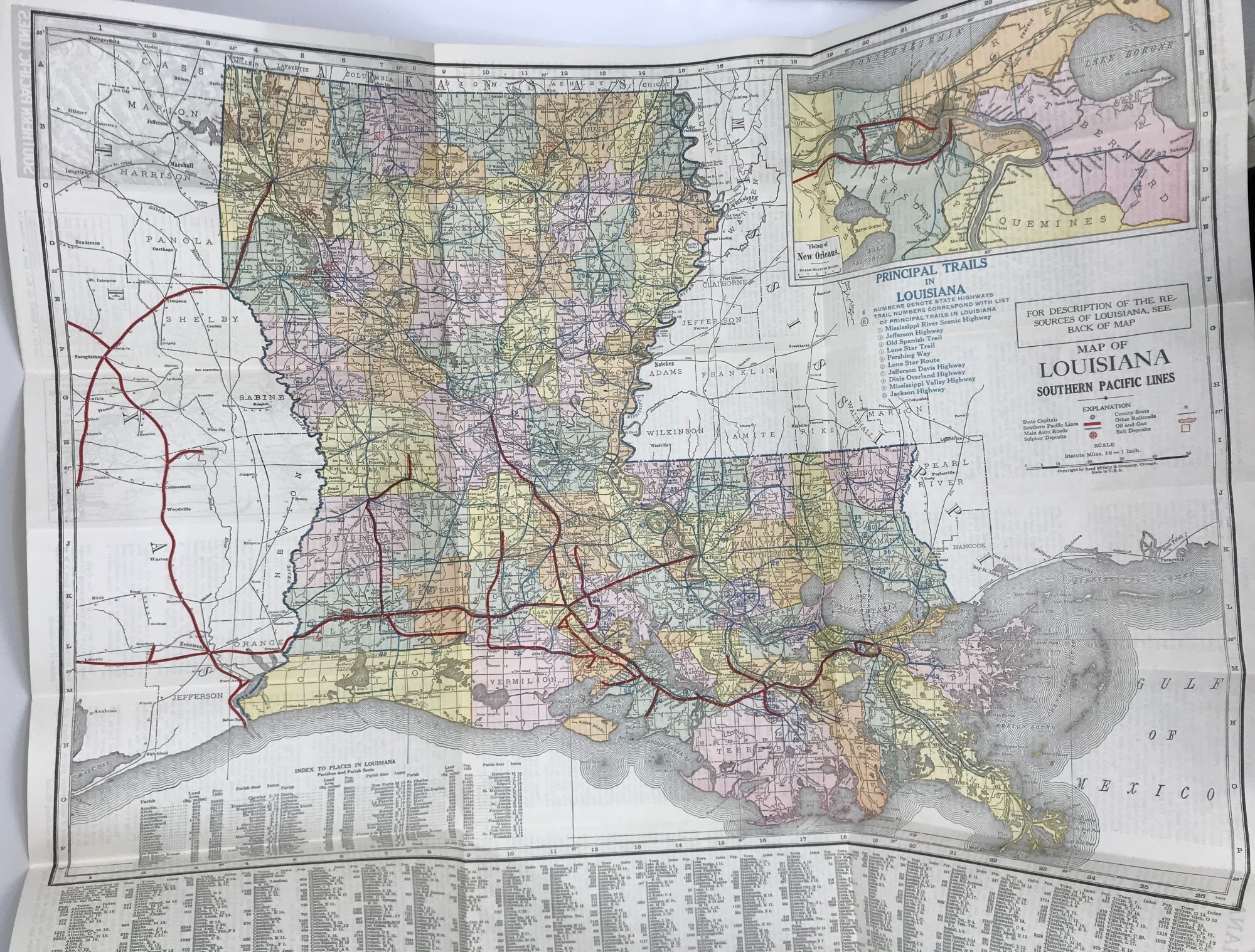
Chicago, (IL): Rand McNally [for] Southern Pacific Lines, 1926. Revised edition (?). Broadside map of Louisiana, 22 x 27 inches, highlighting the Southern Pacific Railway lines in the state in bold red, major highways in dark green, index to towns and cities in lower margin; verso prints 15 panels of promotional description, including resources, development, topography, and climate, and a national railroad map for the Southern Pacific. Cover title: "Map of Louisiana, with a Brief Description of Its Resources, Development, Topography, and Climate." OCLC locates only Southern Pacific published maps for 1902 and 1927. Very good. Folded to narrow 8vo. Original illustrated self wrappers. (#5586).
Details
Title
Map of Louisiana
Condition
Unknown
Publisher
Rand McNally [for] Southern Pacific Lines: Chicago, (IL)
Date
1926