Historical Sketch of 'Louisiana' and the Louisiana Purchase. With illustrative maps reproduced from the exhibit of the General Land Office, Department of the Interior, Louisiana Purchase Exposition, St. Louis, 1904 [cover title]
- (Washington, DC: Press of W.F. Roberts), 1904
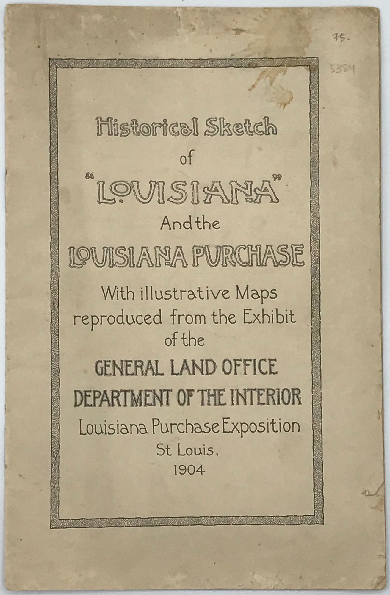
(Washington, DC: Press of W.F. Roberts), 1904. First edition. 8vo. 14 pp. 5 full-page maps, showing the extent of the United States or the colonies as various treaties were signed from LaSalle's proclamation in 1682 to the resolution between the United States and Spain in 1819. Caption title: "Louisiana Purchase Progress Maps of the United States." A good serviceable copy. Original printed tan wrappers (rubbed, a little splash stained). (#5384).
Details
Title
Historical Sketch of 'Louisiana' and the Louisiana Purchase. With illustrative maps reproduced from the exhibit of the General Land Office, Department of the Interior, Louisiana Purchase Exposition, St. Louis, 1904 [cover title]
Condition
Unknown
Publisher
Press of W.F. Roberts): (Washington, DC
Date
1904