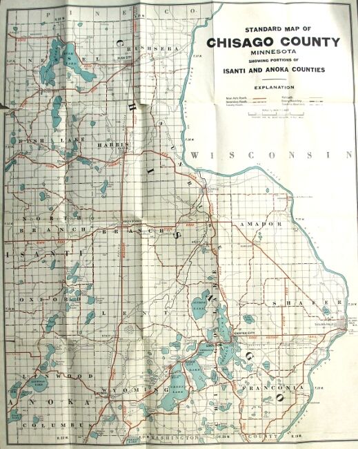
Standard map of Chisago County, Minnesota, showing selected roads in red [cover title]
- St. Paul: McGill-Warner Co, 1920
St. Paul: McGill-Warner Co, 1920. One color map (approx. 648 x 521 mm.) folded down to approx. 178 x 114 mm. in brown printed wrappers; occasional tears from folds, else very good. Map title: "Standard map of Chisago County, Minnesota, showing portions of Isanti and Anoka Counties". University of Minnesota and Minnesota Historical Society only in OCLC.
Details
Title
Standard map of Chisago County, Minnesota, showing selected roads in red [cover title]
Condition
Unknown
Publisher
McGill-Warner Co: St. Paul
Date
1920