Carte De La Tartarie Orientle…
- [Paris]: , c1780
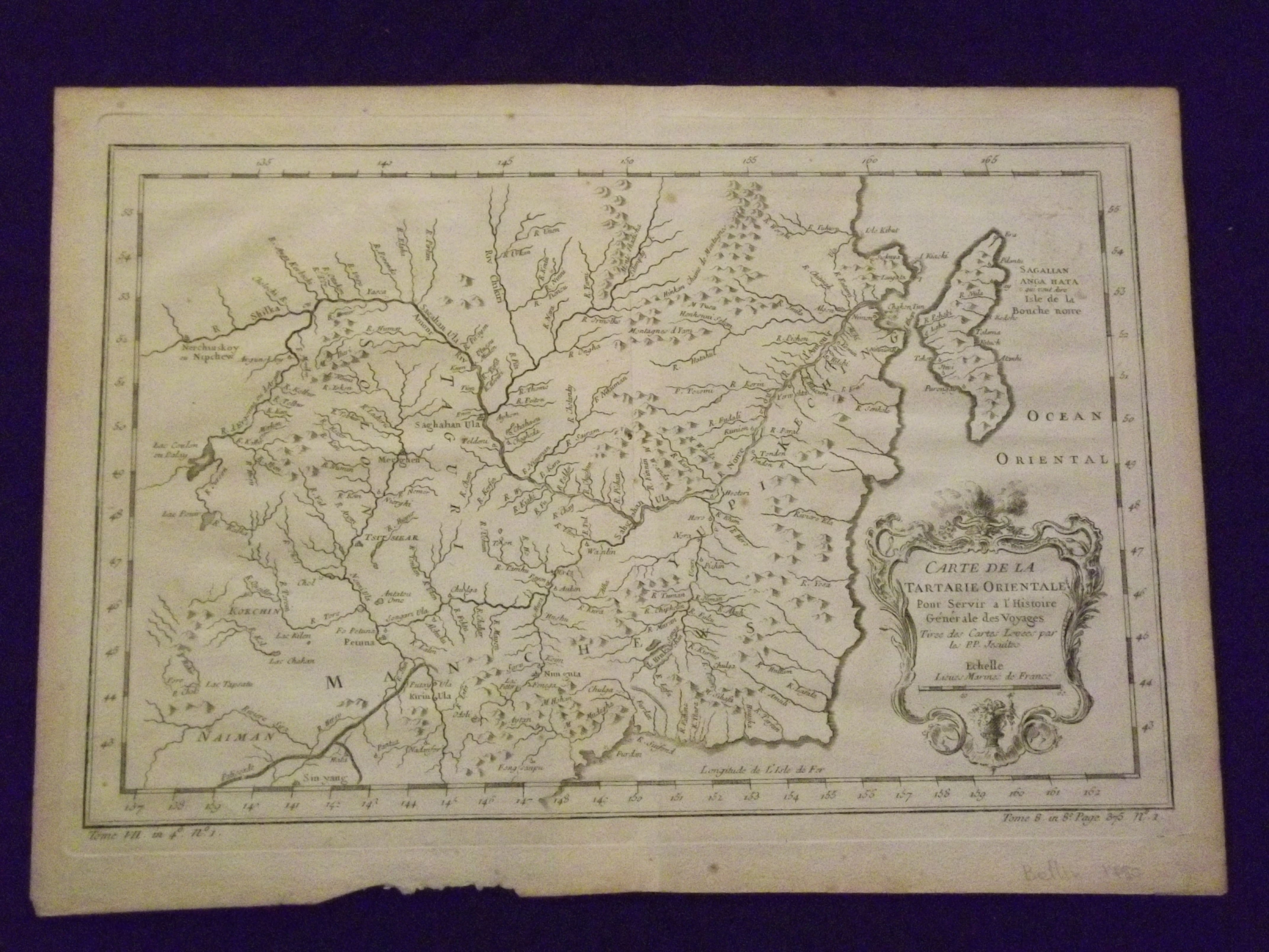
Small engraved map (9 1/2" x 12 1/2"), uncolored, cartouche. Some aging and browning, some minor chips and tears at bottom of wide margin; otherwise very good. Bellin (1703-1772) was considered one of the most prominent cartographers of the 18th century in a career that lasted about 50 years. This map was first published around 1750, and features Manchuria and part of Tartary (Tartaria).
Details
Title
Carte De La Tartarie Orientle…
Author
Bellin, Jacques Nicholas
Condition
Unknown
Publisher
[Paris]:
Date
c1780