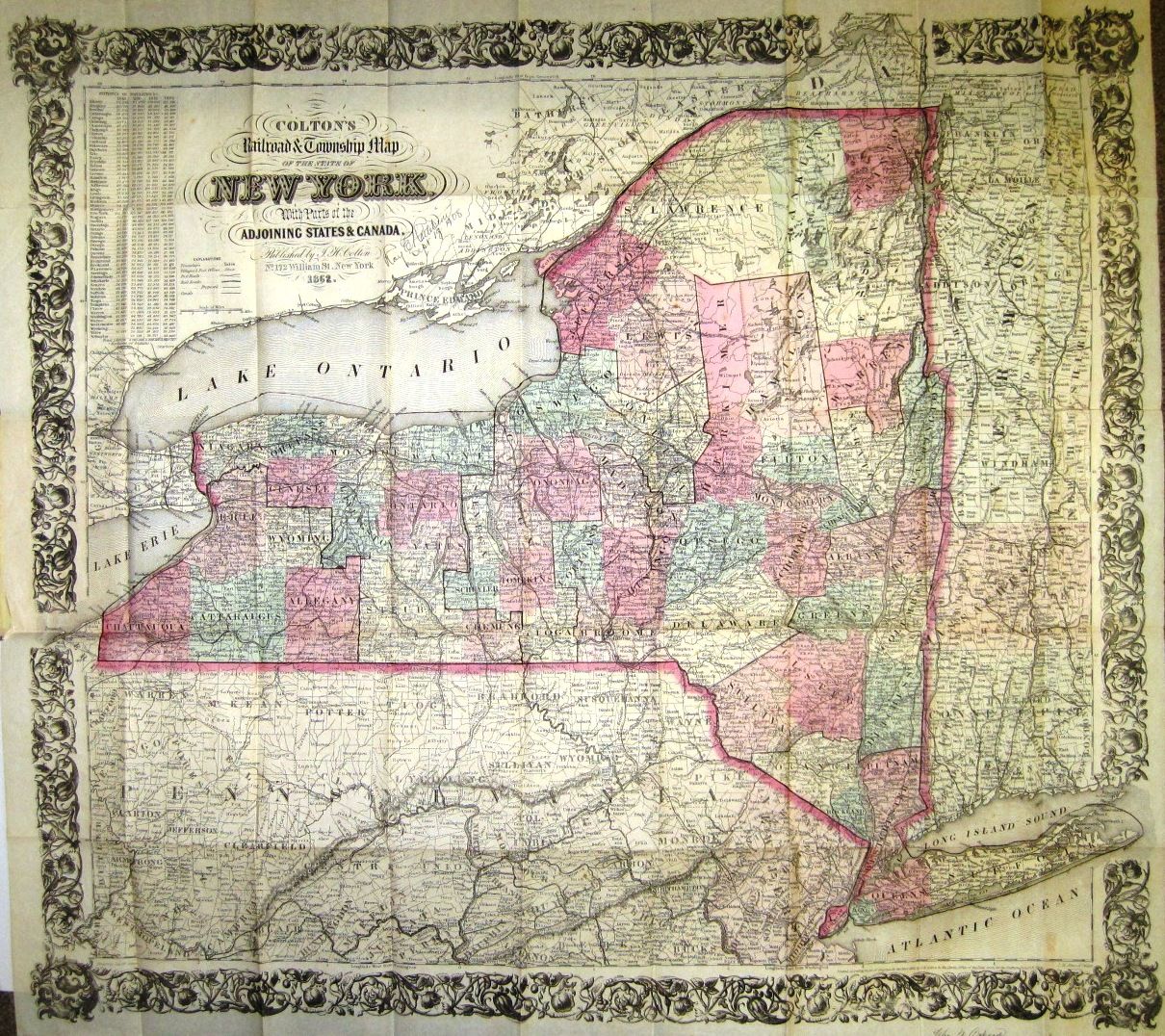
COLTON'S RAILROAD & TOWNSHIP MAP OF THE STATE OF NEW YORK, WITH PARTS OF THE ADJOINING STATES & CANADA

- New York: Published by J.H. Colton, 1862
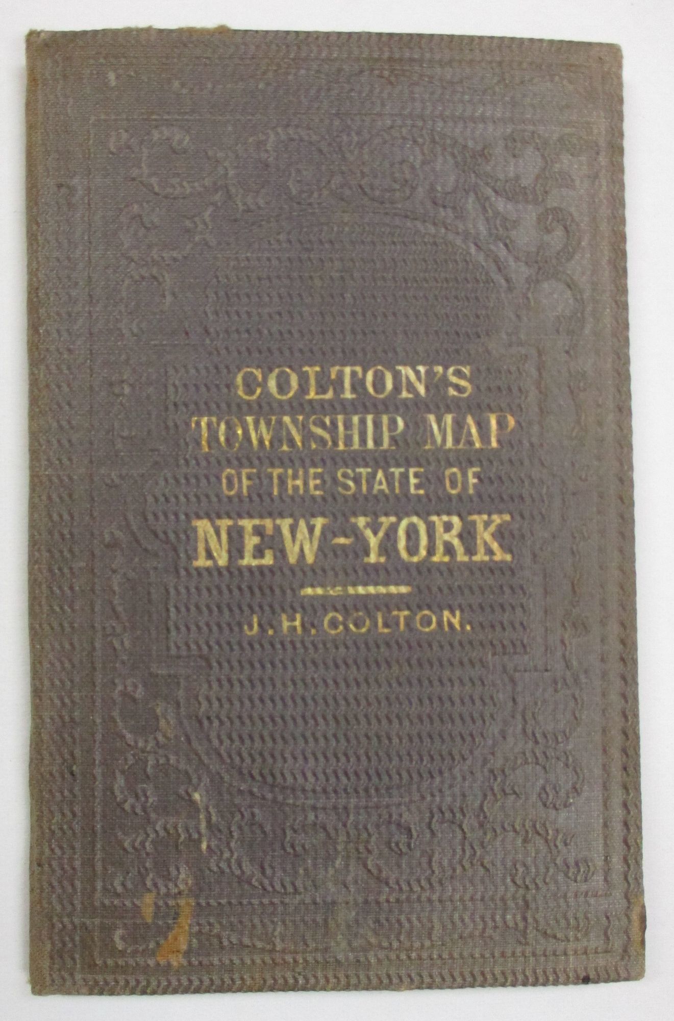
New York: Published by J.H. Colton, 1862. 16mo cloth, with title stamped in gilt on front board. Folding pocket map, with full period color, details of railroad lines and networks, decorated borders. @28" x 26". Near Fine [pinsize closed splits at two fold intersections with no loss].
With statistical tables of population for New York counties. Information regarding State armories is pasted to the front pastedown.
Not in Modelski.
With statistical tables of population for New York counties. Information regarding State armories is pasted to the front pastedown.
Not in Modelski.
Details
Title
COLTON'S RAILROAD & TOWNSHIP MAP OF THE STATE OF NEW YORK, WITH PARTS OF THE ADJOINING STATES & CANADA
Author
Colton, J.H.
Condition
Unknown
Publisher
Published by J.H. Colton: New York
Date
1862