A New Map of North America, Agreeable to the Latest Discoveries.
- [London]: , c1794.
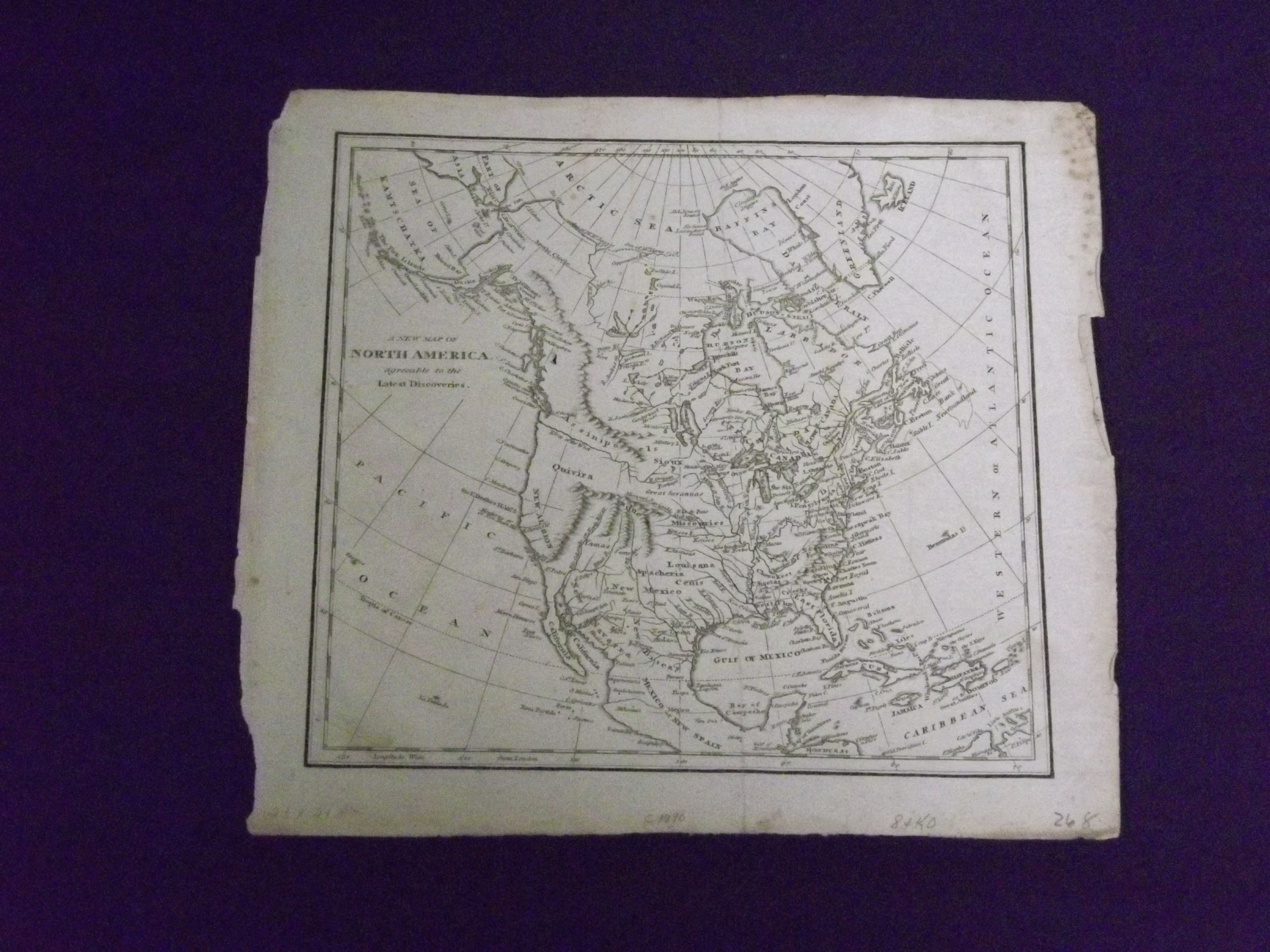
Copper engraved map, image 8 1/2 x 9", uncolored. Some edge wear and roughness in margins with a couple of minor tears and folds, but margins are ample, a little soiling, tiny hole in British Columbia, old folds; otherwise very good. This is an interesting map of North America, attributed to Robert Wilkinson (1768-1825), which probably came from his General Atlas first published in 1794. The United States is named, and the lands of many Indian tribes are also named, including Cherokees, Sioux, and Apache. According to this map, the Missouri River is "Navigable 1300 Miles." It also appears that the "River of the West" extends from the coast to almost the midpoint of the country. While there is no imprint on the map, it appears to match that published by Wilkinson listed in Wheat. Transmississippi. Wheat, Transmississippi 230.
Details
Title
A New Map of North America, Agreeable to the Latest Discoveries.
Author
Wilkinson, Robert, attrib.
Condition
Unknown
Publisher
[London]:
Date
c1794.