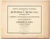
Carta Geografica General de la Republica Mexicana Comenzada en 1878 por la Comision Geografico-Exploradora: Atlas Topografico de los Alrededores de Puebla. 3A serie

- Mexico City: Comisión Geográfico-Exploradora, 1883
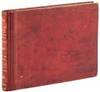
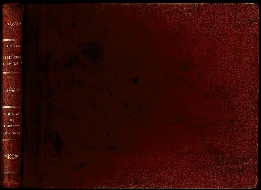
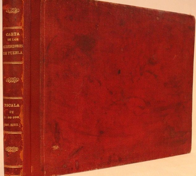
Title leaf & 13 leaves of maps, being mounted albumen photograph reductions of the original map. Photographs are approximately (7¼" x 8¾"), on card stock leaves. Oblong royal octavo (9 "x 12½") bound in original red cloth, rebacked with modern leather with original gilt-lettered leather spine laid on. (References: P-LG 5121. El Territorio Mexicana, Vol II, p 457 reproduces 5th map of 1st edition. International Geographical Exposition and Congress of London. Geographical and Exploring Commission of the Mexican Republic. Catalogue of the Exhibits presented by the Commission with a short sketch of its organization and labors by the Directing Engineer, Julio Alvarado C. E. Mexico 1895. p 32) First and only edition.
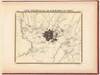
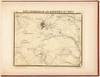
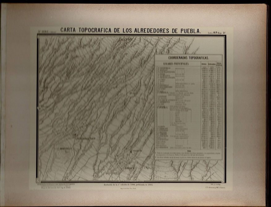
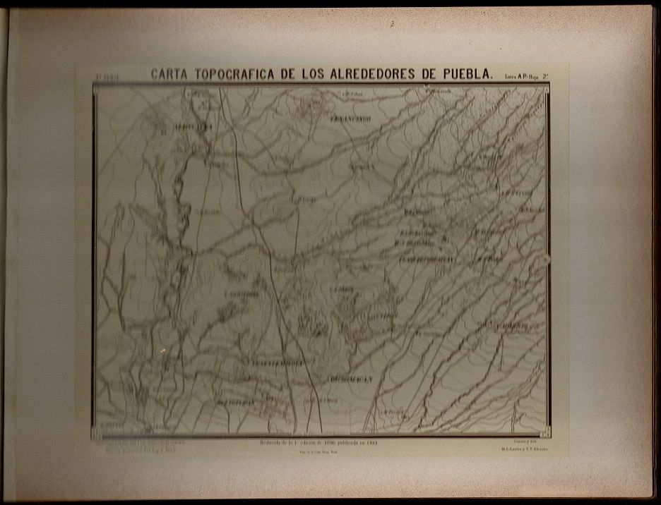
Rare atlas of photographs of the map of the region around Puebla, southwest of Mexico City. Warren Heckrotte describes the atlas and the enterprise that produced it: "The Comision Geografica-Explordora was established by a decree of December 13, 1877. It was directed to prepare a map of the Republic with all the scientific accuracy desirable. The region around the town of Puebla, southwest of Mexico City, was the first effort of the Commission. The surveying was done by astronomical determinations and triangulation. Between 1879 and 1882, the planned nine sheets, lithographed in Mexico City, were issued at a scale of 1:20,000. Elevations are shown by contour lines. For this atlas, the sheets were issued as photographs, the maps reduced in scale to 1:50,000. A photographic edition at the scale of 1:100,000 was also issued. Other areas of the country were mapped. The ultimate goal was to produce a map of the country at a scale of 1:100,000 in 1100 sheets. At the time the Commission closed shop in 1914, a little over 200 sheets had been completed. This mode of production suggests that a small number of these atlases were produced." Indeed, OCLC/WorldCat locates only two copies, at the University of California Berkeley and Dartmouth College.
Condition:
Some soiling to covers; expertly rebacked by Sandra Good; new endpapers; internally fine or nearly so, a bit of darkening to margins of mounts.
Details
Title
Carta Geografica General de la Republica Mexicana Comenzada en 1878 por la Comision Geografico-Exploradora: Atlas Topografico de los Alrededores de Puebla. 3A serie
Author
Comisión Geográfico-Exploradora
Condition
Very Good
Publisher
Comisión Geográfico-Exploradora: Mexico City
Date
1883
Edition
First
Size
Oblong royal octavo
Pages
Title leaf & 13 leaves of maps, being mounted albumen photograph reductions of the original map.