The Tourist's Pocket Map of the State of Ohio Exhibiting its Internal Improvements, Roads, Distances, &c
- Philadelphia: Samuel Augustus Mitchell, 1834
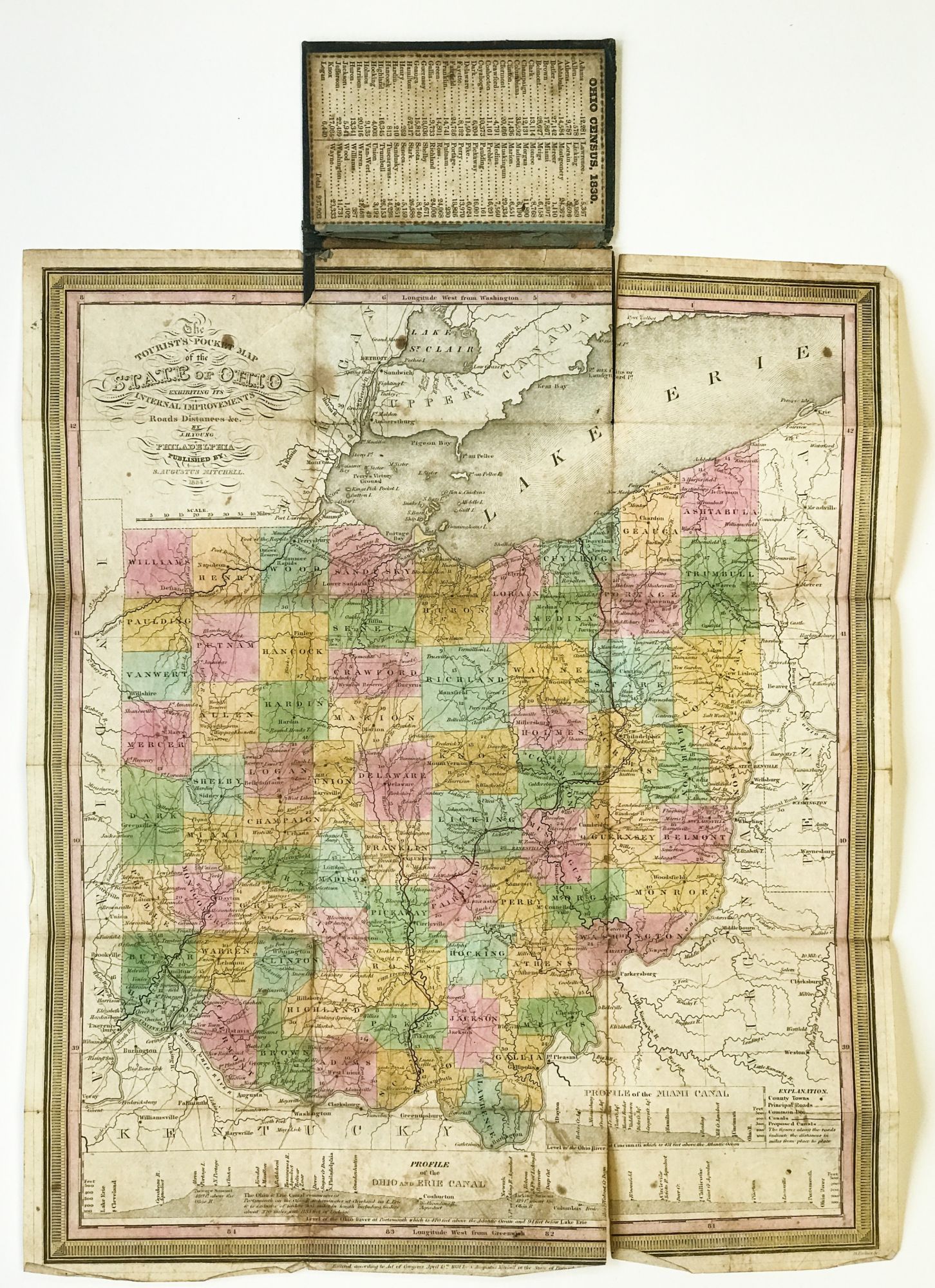
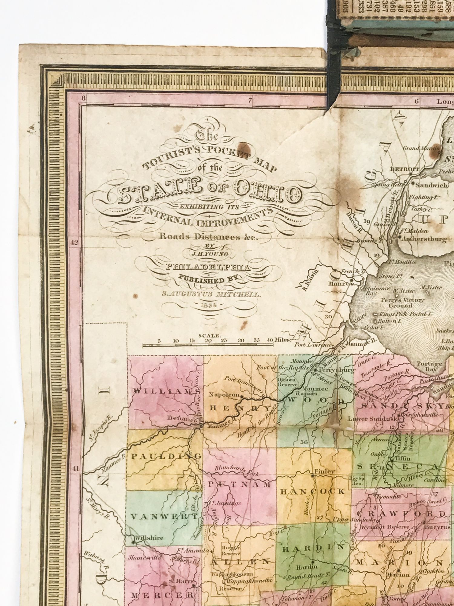
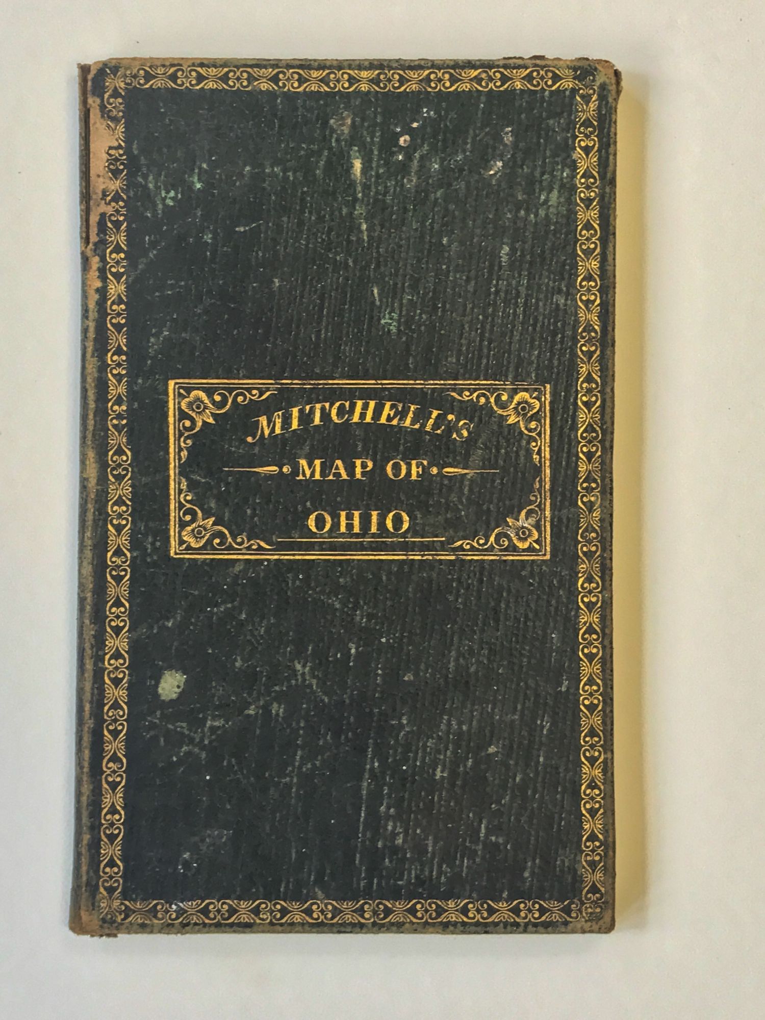
Philadelphia: Samuel Augustus Mitchell, 1834. Early issue (the first was 1831). Light rubbing to binding, a few short separations along folds, light wear at sheet edges. Hand-colored engraved folding map, 15 3/4 x 13 1/4 inches. Folding to 5 x 3 inches into original green gilt-decorated roan binding. Provenance: William Fitch (contemporary ownership signatures on verso of map). Mounted on the inside front cover of the binding is the 1830 Census data for the state, recording the total population of the state at 937,903. At bottom of the map are Profiles of the Ohio and Erie Canal, and the Miami Canal. 73 counties are delineated, the most populated then being Hamilton, Columbiana, and Muskingum.
Details
Title
The Tourist's Pocket Map of the State of Ohio Exhibiting its Internal Improvements, Roads, Distances, &c
Author
YOUNG, James H. / Samuel Augustus MITCHELL, publisher
Condition
Unknown
Publisher
Samuel Augustus Mitchell: Philadelphia
Date
1834
Edition
Early issue (the first was 1831)