BREASTED ANIENT HISTORY SERIES. B1, ANCIENT WORLD ... & B2, ANCIENT

- 19
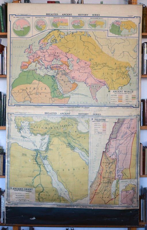
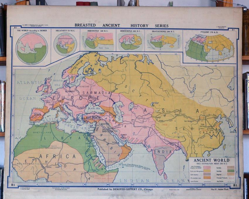
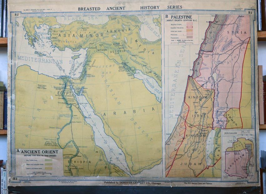
19. [MAP - ANCIENT NEAR EAST]. BREASTED ANIENT HISTORY SERIES. B1, ANCIENT WORLD RACE DISTRIBUTION ABOUT 250 BC. L. Philip Donoyer, Geographer. Compiled and Drawn by R. Baxter Blair. Chicago: DeNoyer-Geppert & Co., 1930. Revised edition. 31 x 44 inches. B2, ANCIENT ORIENT AND PALESTINE. Drawn by R. Baxter Blair. Chicago: DeNoyer-Geppert, 1923. Fifth edition. 30 x 44 inches. Two maps mounted on linen and attached to a roller at the top edge and to a wooden rod at the bottom edge. Overall dimensions 71 x 44 inches. General light dust-soiling to both maps, but relatively bright overall. The map of the Ancient Orient and Palestine has a soft crease near one edge, as well as some silverfish damage in the bottom left corner and along its left margin. The black linen mount below the map is scratched and gouged. Nevertheless, very good overall.
Details
Title
BREASTED ANIENT HISTORY SERIES. B1, ANCIENT WORLD ... & B2, ANCIENT
Author
MAP - ANCIENT NEAR EAST
Condition
Unknown
Date
19